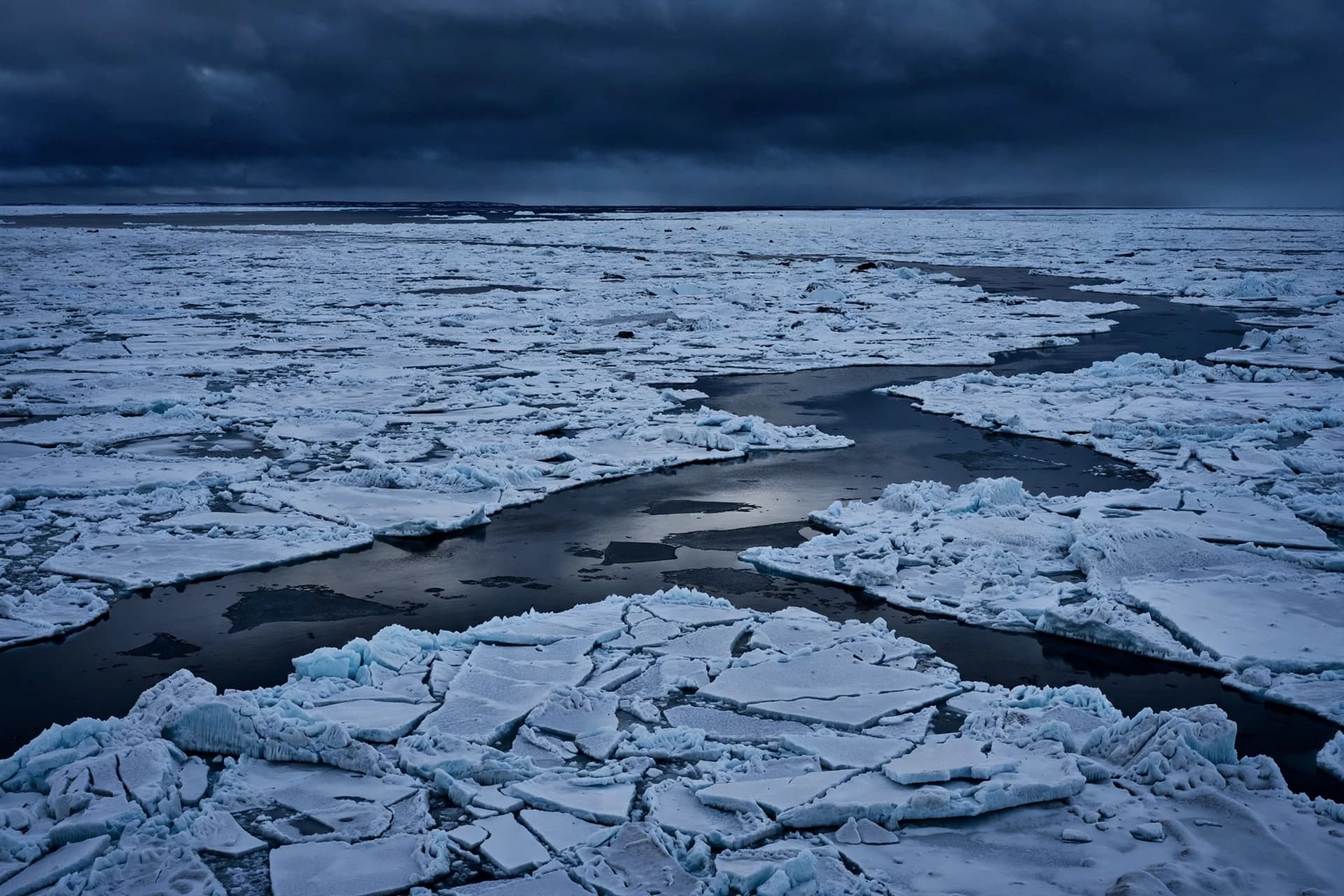
From orbit, the southernmost continent appears as an unbroken field of white—a vast, luminous silence at the edge of the world. Yet beneath that frozen stillness lies a terrain as textured and varied as any mountain range or rolling countryside. Ice, it turns out, is not the end of the story, but merely its cover. And now, with the help of advanced radar mapping, scientists have begun to read what has long been hidden.
A new high-resolution map of the bedrock beneath reveals a remarkable landscape: more than 30,000 previously unmapped hills and ridges buried under miles of ice. These subglacial features, some rising hundreds of meters high, were detected using ice-penetrating radar and satellite data collected over years of careful surveying. What once appeared smooth and uniform from above is, in fact, a complex topography shaped by ancient geological forces.
Researchers from the and international collaborators compiled data from aircraft, satellites, and field expeditions to construct one of the most detailed portraits yet of Antarctica’s hidden bedrock. The hills—technically known as subglacial bedforms—are thought to influence how ice flows above them. In some regions, these formations may slow the movement of glaciers, while in others they may channel and accelerate it.
Understanding that hidden landscape is more than a matter of curiosity. The shape of the bedrock beneath the ice sheet plays a significant role in determining how Antarctica responds to rising global temperatures. Ice does not simply melt from the top; it also slides, fractures, and shifts in response to the terrain below. Subtle elevations can anchor ice in place, while valleys and slopes may allow it to move more freely toward the sea.
For climate scientists, this refined map provides an essential layer of context. Computer models that forecast sea-level rise rely heavily on accurate representations of the ground beneath the ice. Until recently, large portions of Antarctica’s subglacial terrain were approximated with limited data. Now, with tens of thousands of additional mapped features, projections of ice dynamics can be adjusted with greater confidence.
The findings also underscore the sophistication of modern Earth observation tools. Radar systems mounted on research aircraft and satellites—some supported by agencies including —are capable of peering through kilometers of ice to trace the contours of rock below. In doing so, they reveal that even Earth’s most remote frontier remains an active subject of discovery.
What emerges from this work is not a dramatic upheaval, but a quiet expansion of knowledge. Antarctica remains vast, cold, and formidable. Yet beneath its icy expanse lies a landscape newly charted, a reminder that exploration today often happens not by planting flags, but by refining maps. The continent’s hidden hills may never feel sunlight, but they now hold a clearer place in our understanding of a changing planet.
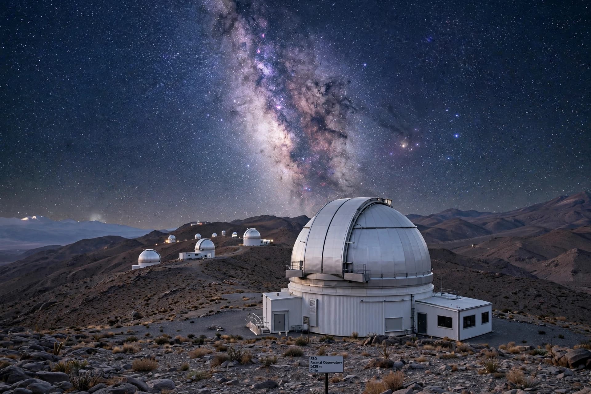
AI IMAGE DISCLAIMER Images in this article are AI-generated illustrations, meant for concept only.
SOURCE CHECK Credible mainstream/niche sources covering the newly mapped subglacial landscape:
British Antarctic Survey Nature Geoscience BBC News Reuters ScienceDaily
Published by Banx Network. This article is part of the Banx decentralized media programme, powered by the BXE token on the XRP Ledger.