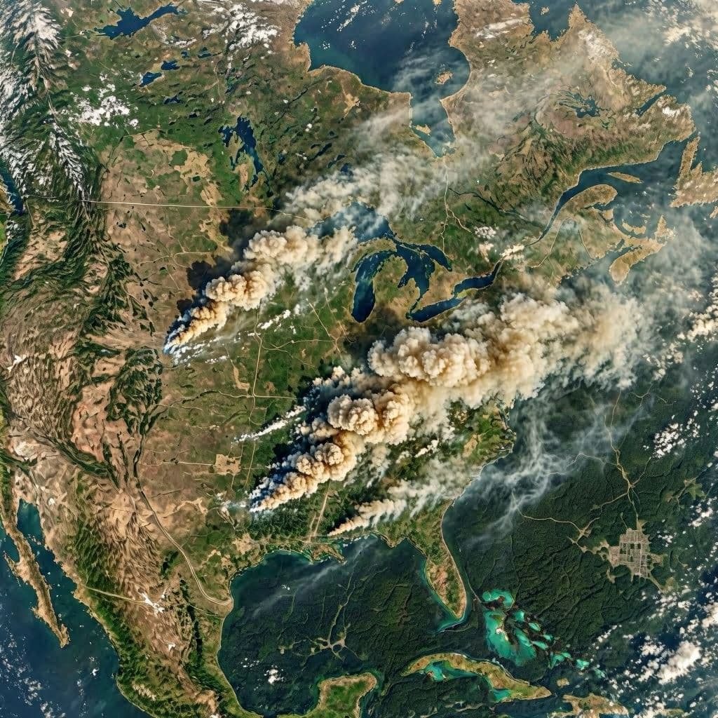
There are seasons when forests seem to breathe in harmony with the planet, and there are seasons when that rhythm is interrupted by fire. Across North America, as temperatures rise and landscapes gradually dry, scientists are once again turning their eyes skyward. This time, satellites orbiting hundreds of miles above Earth are becoming indispensable witnesses to a changing environment.
NASA and partner agencies have intensified the use of Earth-observing satellites to monitor wildfire activity throughout North America. The effort comes as several regions in the United States and Canada enter periods historically associated with elevated wildfire risks.
Among the technologies being employed is NASA's Plankton, Aerosol, Cloud, ocean Ecosystem (PACE) satellite, alongside other long-standing Earth observation missions. These instruments provide scientists with detailed information about smoke movement, atmospheric composition, vegetation health, and fire behavior.
Researchers explain that satellite observations allow emergency managers to assess wildfire conditions in near real time. By combining thermal imaging with atmospheric measurements, scientists can better understand where fires are spreading and how smoke may affect nearby communities.
Wildfire smoke remains a significant public health concern. Fine particulate matter generated by large fires can travel vast distances, affecting air quality far beyond the immediate fire zone. Recent fire seasons have demonstrated that smoke from North American wildfires can even cross oceans under certain atmospheric conditions.
Climate scientists note that multiple factors influence wildfire activity, including drought conditions, vegetation patterns, land management practices, and weather variability. While no single factor determines a fire season, long-term environmental trends continue to shape risk assessments.
Emergency agencies across North America increasingly rely on satellite-derived information to support evacuation planning, firefighting operations, and public health advisories. Data gathered from space can help officials allocate resources more efficiently during rapidly evolving situations.
As wildfire seasons continue to challenge communities across the continent, space-based monitoring offers a broader perspective—one that not only tracks flames but also helps societies prepare, respond, and recover with greater precision.
AI-generated image disclaimer: The images accompanying this article are AI-generated visual representations intended to support editorial storytelling.
Source Verification Check Sources verified from: NASA, NOAA, Reuters, U.S. Forest Service, Canadian Interagency Forest Fire Centre
Published by Banx Network. This article is part of the Banx decentralized media programme, powered by the BXE token on the XRP Ledger.