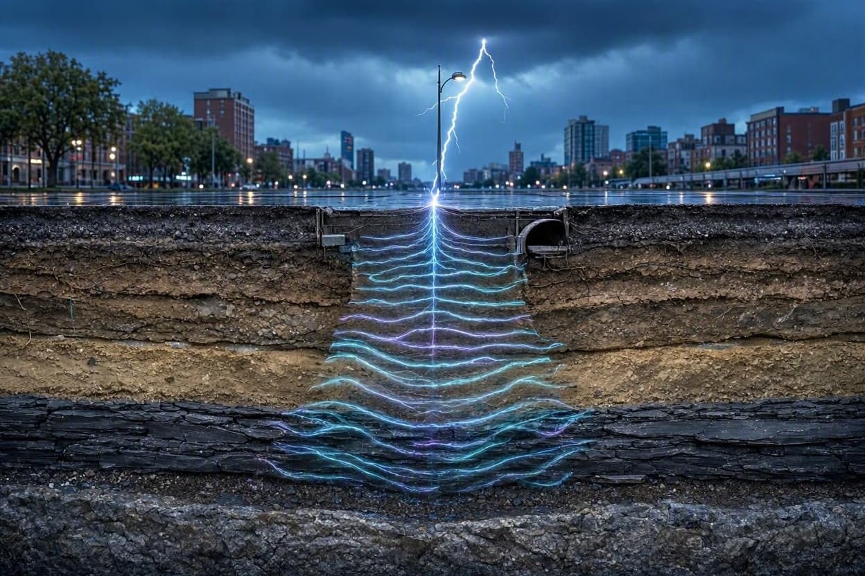
Beneath the bustling streets of our modern metropolises, where subways rumble and skyscrapers pierce the sky, lies a hidden world of geological complexity. For decades, peering into this subsurface realm required invasive drilling or waiting for rare, natural earthquakes to send their seismic whispers through the crust. Now, scientists have found a more frequent and gentle messenger in the storm above. By harnessing the subtle vibrations generated by lightning strikes—phenomena known as "thunderquakes"—researchers are developing a non-invasive method to map the Earth beneath our feet, turning the chaos of weather into a tool for urban insight.
The concept relies on the physical connection between the atmosphere and the solid earth. When lightning strikes, the rapid expansion of heated air creates a shockwave that travels not only as sound but also as a mechanical vibration through the ground. While these signals are faint compared to tectonic events, they are remarkably consistent in urban areas prone to thunderstorms. By deploying sensitive seismometers across a city, scientists can capture these tiny tremors and analyze how they propagate through different layers of soil and rock.
This technique, often referred to as ambient noise tomography, allows researchers to create detailed images of the subsurface without disrupting daily life. Unlike traditional seismic surveys that may require heavy machinery or explosive sources, thunderquakes offer a passive and continuous source of data. The variations in how these waves travel reveal differences in density and composition, helping to identify voids, water tables, and bedrock depths. It is akin to using the constant hum of a city’s weather to perform a gentle ultrasound of its foundation.
The applications for urban planning and safety are significant. In cities built on soft sediments or filled land, understanding the subsurface structure is crucial for constructing resilient infrastructure. Thunderquake data can help engineers identify areas prone to liquefaction during earthquakes or subsidence due to groundwater extraction. By providing a high-resolution map of the underground environment, this method supports smarter decision-making in construction and risk management.
Moreover, this approach democratizes geophysical monitoring. As sensor technology becomes cheaper and more widespread, communities can potentially monitor their own subsurface health. Citizen science projects could deploy networks of low-cost seismometers, contributing to a broader understanding of local geology. This collaborative model fosters a deeper connection between residents and the land they inhabit, transforming abstract scientific data into tangible community knowledge.
The integration of atmospheric and geological data also highlights the interconnectedness of Earth’s systems. What happens in the sky directly influences our understanding of the ground below. This interdisciplinary perspective encourages collaboration between meteorologists and seismologists, breaking down silos and fostering a more holistic view of planetary processes. It reminds us that nature’s phenomena are rarely isolated, but part of a complex, interacting web.
As climate change alters weather patterns, the frequency and intensity of thunderstorms may shift, potentially affecting the availability of this data source. However, it also underscores the importance of adapting our scientific tools to changing environmental conditions. Researchers are refining algorithms to filter out urban noise from traffic and construction, ensuring that the signal from thunderquakes remains clear and useful. This technical refinement is key to making the method robust and reliable.
The use of thunderquakes to image the Earth beneath cities represents an innovative fusion of meteorology and geophysics. By listening to the subtle echoes of storms, scientists are uncovering the hidden structures that support our urban lives. This gentle, non-invasive approach offers a promising path toward safer, more informed cities, proving that even the briefest flash of lightning can shed light on the deep secrets of the ground.
AI Image Disclaimer: Please note that any accompanying visuals for this article are AI-generated representations intended for illustrative purposes only.
Sources: Nature Geoscience Science Daily USGS Live Science Geophysical Research Letters
Published by Banx Network. This article is part of the Banx decentralized media programme, powered by the BXE token on the XRP Ledger.