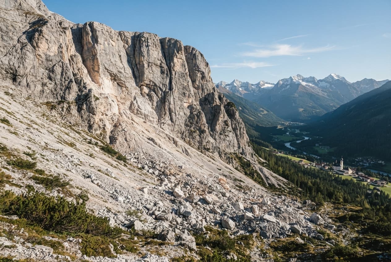
In the south of Lebanon, towns are built like memory.
Stone houses rise along the hillsides in pale layers, stacked against olive groves and fig trees, their windows opening toward valleys shaped by wind and war alike. In Bint Jbeil, a town long known for its narrow streets and resilient spirit, mornings once began with shutters opening, bread warming in kitchens, and the call of daily life moving gently through the hills near the Israeli border.
Now, much of that life lies under dust.
From above, the town appears altered beyond recognition.
Satellite images, drone footage, and local testimonies tell a story written in gray—whole neighborhoods flattened, roads broken into fragments, homes collapsed into concrete fields. Bint Jbeil, one of southern Lebanon’s most symbolic and strategic towns, has become one of the starkest examples of the destruction spreading across the border region as Israel intensifies its military campaign against Hezbollah.
The maps tell their own quiet truth.
Recent imagery analyzed by journalists and human rights organizations suggests that vast sections of Bint Jbeil have been damaged or destroyed in a matter of weeks. The Israeli military says it targeted Hezbollah infrastructure embedded in civilian areas, claiming to have destroyed around 70 militant sites in and around the town during a rapid and concentrated assault.
But on the ground, the distinction has blurred.
Residents who fled describe entire residential blocks disappearing in waves of explosions. Bulldozers, airstrikes, and controlled demolitions have reportedly continued even in areas where active combat had subsided. The town’s municipal authorities have accused Israel of trying to erase Bint Jbeil from the map—a phrase both metaphorical and, in some places, nearly literal.
This is not the first time Bint Jbeil has become a battlefield.
In 2006, during the war between Israel and Hezbollah, the town was the site of one of the conflict’s fiercest confrontations. It was rebuilt slowly after that war, brick by brick, with the stubborn patience that often defines places touched by violence.
Now, those rebuilt walls have fallen again.
Across southern Lebanon, the pattern appears wider than one town.
Amnesty International’s analysis of satellite imagery found that more than 10,800 structures across 26 municipalities near the Israeli border were heavily damaged or destroyed between late September 2024 and January 2025. In some villages, over 70 percent of buildings were lost. Agricultural land, orchards, and infrastructure have also been heavily damaged, leaving long-term scars on both the landscape and local economies.
Israeli officials describe the operation as necessary to dismantle Hezbollah’s tunnel networks, weapons storage, and launch positions near the border. The military has also reportedly established what observers describe as an “advanced defense zone” or buffer area extending into Lebanese territory.
To Lebanese officials and many residents, the destruction feels like something broader.
Words such as “urbicide,” “domicide,” and “ecocide” have entered official statements and public grief. The Lebanese government has accused Israel of systematically demolishing homes and infrastructure even after ceasefire periods or in areas no longer seeing active clashes.
And still, the hills remain quiet in photographs.
A broken mosque. A road cut in half. Laundry lines hanging where walls no longer stand.
War often announces itself loudly in the moment—sirens, artillery, collapsing roofs. But afterward, it settles into silence. Into maps. Into before-and-after images. Into empty streets where no one returns at dusk.
Bint Jbeil has long stood as a symbol in the rhetoric of resistance and retaliation alike. Now it stands, or what remains of it does, as a symbol of something older and more universal: the way towns become coordinates in military strategy, and the way those coordinates once held kitchens, schools, prayers, and ordinary afternoons.
In time, perhaps, the dust will settle.
The olive trees may survive in some corners. Roads may be cleared. Walls may rise again, stone by stone, as they did before.
But for now, in southern Lebanon, the maps are changing faster than memory can keep pace.
And somewhere above the hills, satellites continue to watch the outline of a town being slowly erased.
AI Image Disclaimer Illustrations were created using AI tools and are intended as conceptual representations.
Sources Amnesty International Associated Press Reuters Le Monde NDTV
Published by Banx Network. This article is part of the Banx decentralized media programme, powered by the BXE token on the XRP Ledger.