
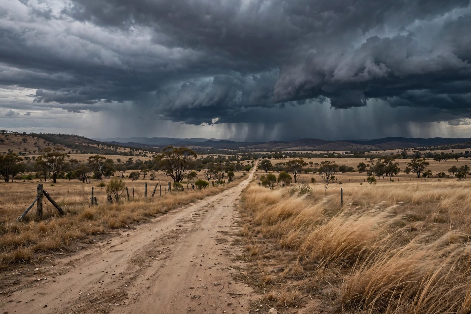
There is a rhythm to the Australian spring that usually speaks of warming earth and lengthening days, but this October the sky has chosen a different cadence—one of grey ceilings, swollen creeks, and the low percussion of thunder rolling across the eastern plains. For a second consecutive week, Queensland and northern New South Wales find themselves beneath that rhythm, waiting for the clouds to decide how much more they intend to give.
The numbers tell a story of unusual persistence. Parts of Queensland and the adjoining regions of northern NSW are facing weekly rainfall totals that could exceed 100 millimeters—well beyond the October average, and in some districts approaching four times what the month typically delivers . The Bureau of Meteorology has tracked an ongoing outbreak of showers and thunderstorms affecting more than half the country, with the east coast bearing the heaviest burden . Sydney has already absorbed more than 100 millimeters this week, while central Queensland has contended with flash flooding and Alice Springs with destructive winds .
For Queensland, the focus has settled on inland districts south of Longreach, where an influx of tropical moisture has raised the risk of intense cells and localized flooding . Storms are expected to continue across the state's east and central areas, with heavier downpours possible well inland . In New South Wales, the northern half of the coast and adjacent ranges face a similar prospect—showers and thunderstorms through the week, with the threat extending as far south as Sydney .
Meteorologists describe the pattern with a phrase that captures its ambiguity: a "double-edged sword" . The rain is welcome in a country that knows drought intimately, but the volume and persistence carry their own risks. Flash flooding remains the primary concern, particularly where storm cells stall or repeat over the same catchments. The Bureau has warned of damaging wind gusts exceeding 90 kilometers per hour, large hail, and heavy rainfall capable of overwhelming drainage systems and swelling rivers quickly .
What makes this season notable is not merely the rain but its context. Australia is on track to record its wettest El Niño year on record, a counterintuitive outcome for a climate pattern typically associated with dryness . The weekly relative El Niño index reached 2.81 degrees above average in early October, surpassing the previous record set in November 2015 . The atmosphere, it seems, is writing a chapter that does not follow the expected script.
For residents across the affected regions, the practical response is familiar: monitor forecasts, heed warnings, and prepare for the possibility of sudden change. The Bureau has emphasized that the exact location of the heaviest falls will shift daily, making vigilance more useful than prediction . The storms are not uniform in their reach—some communities will see only passing showers while others receive a month's rain in a matter of hours.
By the week's end, the pattern is expected to persist, with modelling suggesting most areas of Queensland, NSW, Victoria, Tasmania, South Australia, and the Northern Territory can expect at least some rain over the coming eight days . The eastern seaboard, for now, remains the center of gravity.
The sky over Queensland and northern New South Wales will eventually clear, as skies always do. But the second straight week of storms serves as a quiet reminder that the continent's weather is not a background condition but an active participant in the life of its communities—sometimes generous, sometimes overwhelming, and always deserving of attention.
AI Image Disclaimer: The visuals accompanying this report were produced using artificial intelligence and are intended for illustrative purposes only.
Sources: Australian Broadcasting Corporation, Bureau of Meteorology, news.com.au, Nine, The New Daily, Elders Weather
Published by Banx Network. This article is part of the Banx decentralized media programme, powered by the BXE token on the XRP Ledger.