The Canterbury Plains spread out from the foot of the Southern Alps like a patchwork quilt of greens and golds, a sprawling testament to the agricultural heart of New Zealand. In this vast landscape, where the braided rivers carve their way toward the Pacific, the rhythm of life has long been dictated by the seasonal shifts of the sun and the rain. For generations, the act of tending to this land was a matter of physical presence—the farmer’s boot on the soil and the constant, watchful eye on the horizon.
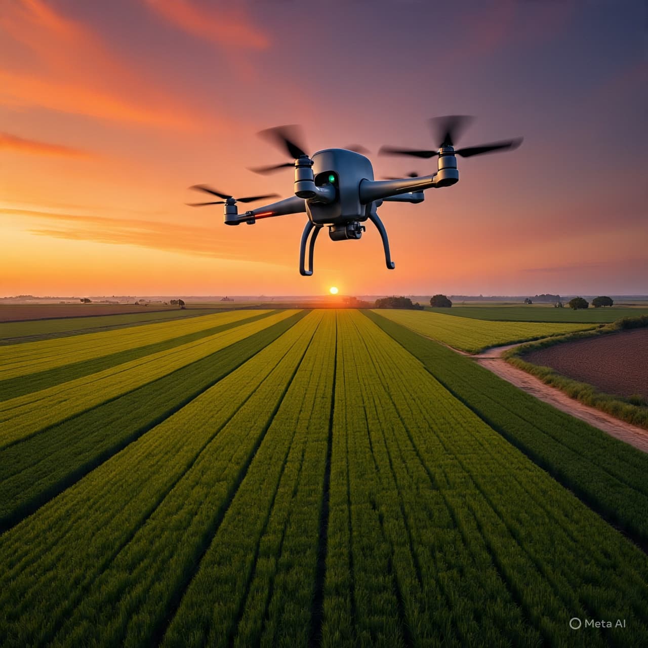
In the autumn of 2026, a new presence has joined this traditional watch, one that operates with a weightless and digital grace. High above the paddocks, specialized drones equipped with hyperspectral cameras are beginning to map the "metabolic pulse" of the crops, providing a perspective that was once the exclusive domain of the birds. This is not the loud, intrusive technology of the past, but a silent and sophisticated observer that translates the health of a leaf into a vibrant spectrum of data.
To watch these silver eyes navigate the thermal currents is to witness a profound shift in the way we interact with the land. They do not merely see the surface; they peer into the very chemistry of the plants, identifying the first whispers of water stress or nutrient deficiency long before the human eye can detect a change in color. It is a form of digital empathy, allowing for a more surgical and respectful approach to the use of water and minerals in a region where resources are increasingly precious.
In the laboratories of Lincoln University, researchers are refining the algorithms that turn these aerial images into a language of stewardship. They are moving away from the broad-brush application of the past, seeking instead a more harmonious integration of technology and biology. By understanding the unique needs of every square meter of the plains, they are ensuring that the land is nourished with exactly what it requires, and nothing more.
There is a striking aesthetic beauty in this data-driven landscape. When viewed through the lens of a hyperspectral sensor, a field of wheat becomes a shimmering tapestry of blues, reds, and violets, each hue representing a different stage of life and vitality. It is a reminder that the world is far more complex and colorful than our natural senses can perceive, and that technology, when used with care, can enhance our appreciation for the intricate details of the natural world.
As the sun sets over the peaks of the Alps, casting long, dramatic shadows across the furrowed ground, the drones return to their cradles, carrying the secrets of the day’s growth. The information they provide allows for a more contemplative approach to farming, where decisions are made with the benefit of a thousand invisible insights. It is a vision of agriculture that is both high-tech and humble, a way of moving forward that honors the integrity of the soil and the purity of the water.
The transition toward this "precision stewardship" is a slow and thoughtful awakening for the region. It requires a willingness to trust the data while maintaining the ancestral connection to the dirt and the seasons. But the rewards are already becoming visible in the increased efficiency and the reduced environmental footprint of the farms. It is a promise that the bounty of Canterbury will remain sustainable for the generations that are yet to walk these plains.
Ultimately, this endeavor is a reflection of the New Zealand spirit—a blend of practical resourcefulness and a deep, abiding love for the natural world. We reach into the sky not to escape the earth, but to understand it more deeply. In the quiet mapping of the Canterbury harvest, we find a guarantee of continuity, a way to ensure that the vital partnership between the people and the land remains strong, clear, and resilient through the coming years.
AI Image Disclaimer “Visuals were created using AI tools and are not real photographs.”
Sources
Lincoln University News NZ Herald Scoop News Farmers Weekly NZ Ministry for Primary Industries (New Zealand)
Published by Banx Network. This article is part of the Banx decentralized media programme, powered by the BXE token on the XRP Ledger.