The Himalayas are often called the "Water Towers of Asia," a majestic reservoir that feeds billions. But when these towers tremble, the consequences ripple far beyond the peaks. Recent catastrophic flooding in Nepal and Tibet has left communities devastated, raising urgent questions about the triggers behind such sudden deluges. Now, scientists are turning their eyes to the sky, using satellite imagery to piece together the puzzle of what unleashed these destructive waters.
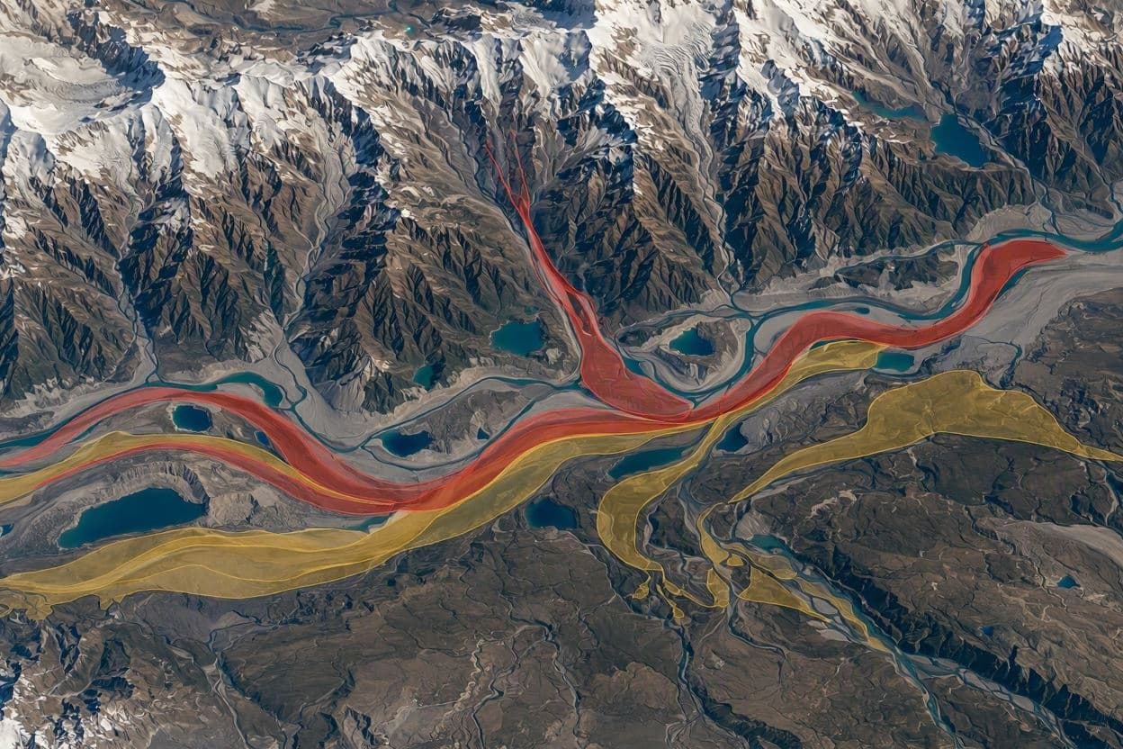
The floods, which swept through remote valleys and border regions, were not caused by typical monsoon rains alone. Instead, initial analysis suggests a combination of glacial lake outbursts and extreme precipitation events. Satellite data from agencies like NASA and the European Space Agency has provided a bird’s-eye view of the terrain before and after the disaster, revealing subtle changes that ground observers might miss.
One key finding is the rapid expansion of certain glacial lakes prior to the flood. As temperatures rise due to climate change, glaciers melt faster, forming unstable lakes dammed by loose moraine. Satellite images show that several of these lakes breached their natural barriers, releasing massive volumes of water downstream. This phenomenon, known as a Glacial Lake Outburst Flood (GLOF), is becoming more frequent in the region.
In addition to GLOFs, the imagery highlights areas of intense rainfall that saturated the soil, leading to landslides and debris flows. The combination of water from melting ice and heavy rain created a perfect storm, overwhelming river channels and infrastructure. By correlating rainfall data with topographical changes, researchers can better understand how these factors interact to create such high-impact events.
The use of satellite technology allows for a more comprehensive assessment of risk in inaccessible areas. Traditional monitoring stations are sparse in the high Himalayas, making remote sensing an invaluable tool. High-resolution images help identify vulnerable lakes and unstable slopes, providing early warning signs that could save lives in future incidents.
These findings underscore the urgent need for adaptive strategies in mountainous regions. Communities living downstream rely on accurate forecasting and robust infrastructure to withstand such shocks. The data collected from these satellites will inform better land-use planning and disaster preparedness protocols, helping governments and local leaders make informed decisions.
However, technology alone is not a silver bullet. The human element remains crucial, from maintaining early warning systems to educating communities about evacuation routes. The integration of scientific data with local knowledge creates a more resilient framework for dealing with the increasing unpredictability of climate-driven disasters.
Researchers continue to analyze the full extent of the damage and refine their models. The insights gained from this event will contribute to global efforts to monitor cryospheric changes and mitigate the risks associated with a warming planet.
AI Image Disclaimer: Please note that the visual accompaniments for this article are AI-generated illustrations created to reflect the thematic elements of satellite monitoring, glacial landscapes, and flood analysis.
Sources: NASA Earth Observatory European Space Agency (ESA) Nature Climate Change BBC News The Himalayan Times
Published by Banx Network. This article is part of the Banx decentralized media programme, powered by the BXE token on the XRP Ledger.