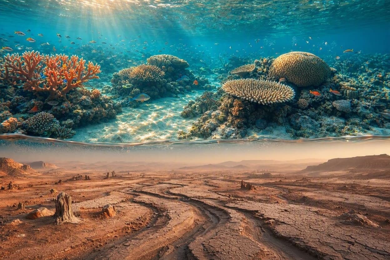
Beneath the turquoise waves of the Great Barrier Reef lies a world that has been silent for thousands of years. Where coral now thrives in vibrant hues, there once stood dry land, home to ancient ecosystems and perhaps the footsteps of early humans. Recent scientific efforts have begun to peel back the layers of time, revealing a prehistoric landscape hidden beneath the ocean’s surface. This discovery is not just a geological curiosity but a window into a past where the coastline looked vastly different, offering clues about how the Earth has changed and how life has adapted.
Researchers, working in collaboration with Indigenous rangers, have used advanced sonar and mapping technologies to chart the submerged terrain off the coast of Queensland. The data reveals a complex network of ancient riverbeds, valleys, and plains that were exposed during the last ice age, when sea levels were significantly lower. As the ice melted and the oceans rose, these landscapes were slowly swallowed by the water, preserving them in a state of suspended animation beneath the reef.
The project highlights the deep connection between the land and the sea, a relationship that is central to the cultural heritage of Aboriginal and Torres Strait Islander peoples. For many Indigenous communities, these submerged areas are not just scientific sites but ancestral lands, holding stories and memories that have been passed down through generations. The collaboration between scientists and Traditional Owners ensures that the research is conducted with respect and cultural sensitivity.
One of the most striking findings is the scale of the exposed landmass. At its peak, the coastline extended dozens of kilometers further out than it does today, creating a vast coastal plain that would have supported a diverse array of flora and fauna. This environment likely served as a corridor for migration and a resource-rich area for early human inhabitants, providing food, water, and shelter.
The use of modern technology has allowed researchers to see details that were previously invisible. High-resolution bathymetric maps provide a three-dimensional view of the seabed, revealing features such as ancient dunes and lake beds. These details help scientists reconstruct the climate and environmental conditions of the past, offering insights into how the region responded to global warming events.
For marine biologists, the discovery also has implications for understanding the current health of the reef. By studying the geological history of the area, they can better understand the natural cycles of growth and decline that have shaped the ecosystem over millennia. This long-term perspective is crucial for developing effective conservation strategies in the face of modern climate challenges.
The project is ongoing, with plans to explore other parts of the reef system for similar hidden landscapes. Each new map adds a piece to the puzzle, helping to build a more complete picture of Australia’s ancient past. It is a reminder that even in places we think we know well, there are still secrets waiting to be uncovered.
The uncovering of this prehistoric landscape beneath the Great Barrier Reef is a testament to the power of science and collaboration. It invites us to look beyond the surface and appreciate the deep history that lies beneath our oceans, connecting us to a past that is both distant and intimately familiar.
AI Image Disclaimer: The visual materials associated with this article are AI-generated and serve as illustrative aids rather than factual documentation.
Sources: ABC News Oceanographic Magazine CSIRO The Guardian
Published by Banx Network. This article is part of the Banx decentralized media programme, powered by the BXE token on the XRP Ledger.