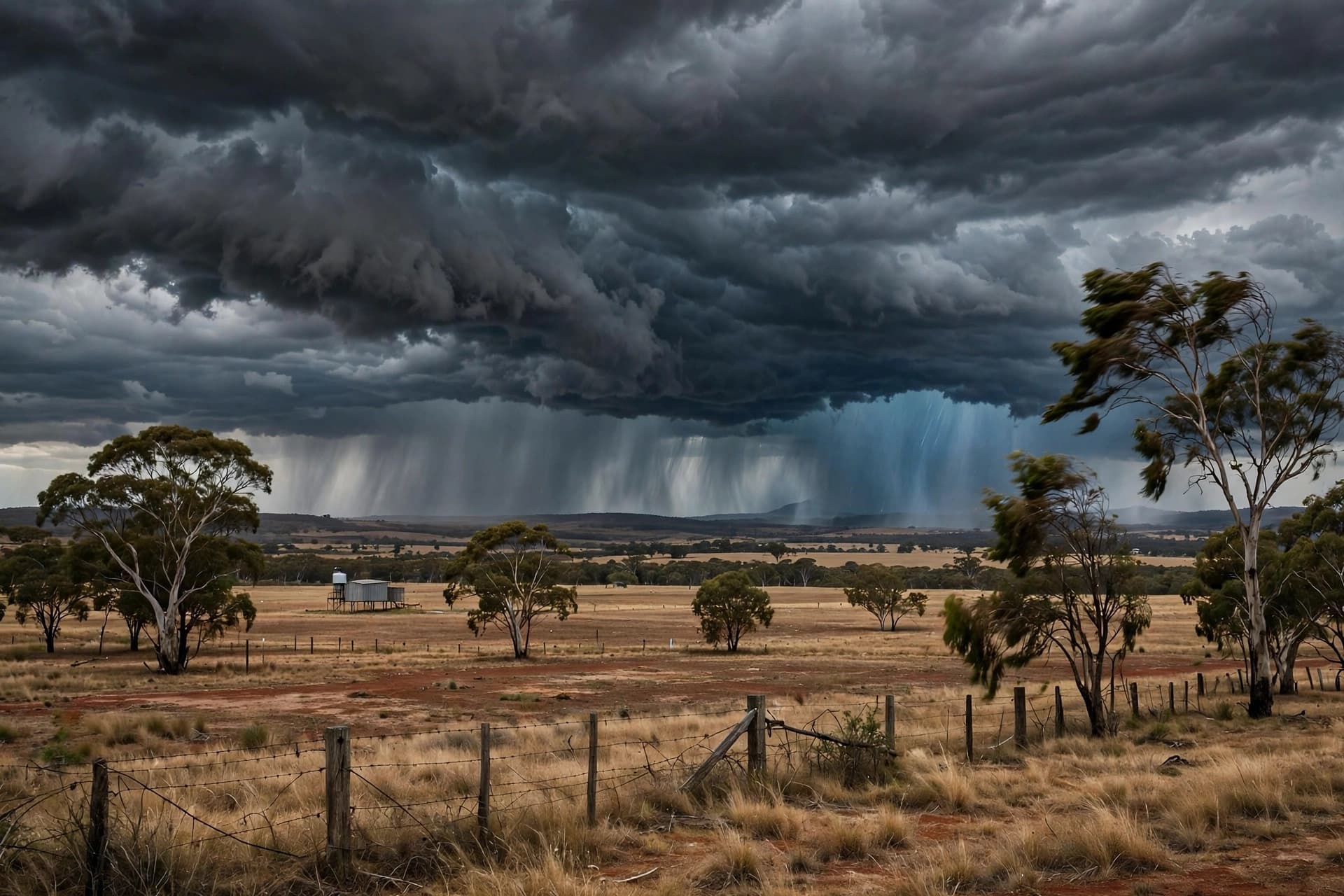
There is a particular kind of anticipation that precedes a storm—a stillness in the air, a darkening of the sky, the sense that something is gathering beyond the horizon. Across southeastern Australia this weekend, that anticipation has been replaced by preparation, as a slow-moving low-pressure system moves across the continent, bringing with it the heaviest rainfall some regions have seen in months. The Bureau of Meteorology has warned that parts of Victoria could receive up to 150 millimeters of rain—the equivalent of one to three months' worth—in the space of a few days, with thunderstorms, damaging winds, and large hail accompanying the deluge .
The system began its work on Thursday, when Melbourne recorded nearly 50 millimeters of rain and flash flooding forced the State Emergency Service to rescue motorists trapped in their vehicles . Since then, the rain has intensified and spread. A cold front is expected to bring widespread thunderstorms to the Central West, South Coast, Illawarra, and Sydney regions of New South Wales through Sunday, before moving northeast early next week . The New South Wales SES has warned communities across Greater Sydney, the Illawarra, Riverina, North Coast, and southern NSW to be on high alert, with flash flooding remaining the primary concern.
"The conditions can change very quickly, and roads that appear safe can become dangerous within minutes," Acting Assistant Commissioner Brigid Rice said in a statement . The SES has urged residents to secure loose outdoor items, park vehicles away from trees, and clean gutters and drains to improve water flow around homes. The agency has also repeated its longstanding warning: never drive, ride, or walk through floodwater. "Floodwater often hides damage, debris, and other hazards beneath the surface," Rice said.
In Victoria, the forecast is particularly severe. Parts of Gippsland, as well as the central, eastern, and Otway ranges, could see rainfall exceeding 100 millimeters, with some areas recording up to 150 millimeters—a total that Senior Meteorologist Dean Narramore described as equivalent to "one to two months of rainfall, maybe even three months' worth" . Melbourne itself is expected to receive between 30 and 50 millimeters over the weekend, with flood watches in place for parts of Gippsland, north-east, and central Victoria. Thunderstorms are also forecast, along with the potential for damaging winds in coastal areas on Friday and Saturday.
The storm system has arrived at an awkward moment for the agricultural regions it will cross. The Mallee and Riverina areas have experienced a strong winter sowing season, and the Bureau has warned that the heavy rain—30 to 60 millimeters in some parts—may prove too much for crops that have been thriving . For farmers, the same water that fills dams and replenishes soil can, in excess, waterlog fields and damage yields. The Bureau has also warned of potential flash flooding across South Australia's eastern regions and the Riverina.
For Sydney, the timing is more fortunate. The rain and storms are expected to clear by Sunday, just in time for the NRL grand final. Meteorologists predict that morning showers will give way to a drying trend, creating what one forecaster described as "near-perfect conditions for a fast-flowing game of NRL footy" . It is a small mercy in a weekend that will otherwise be defined by water—by the slow accumulation of millimeters, by rivers rising, by the quiet work of emergency services preparing for the calls that may come.
AI Image Disclaimer: The visual elements in this article were created using AI generation tools and are intended for illustrative purposes only.
Sources: Region Canberra, Yeni Vatan Turkish Newspaper, china.com.au, 1688 Australian News, The Guardian Australia
Published by Banx Network. This article is part of the Banx decentralized media programme, powered by the BXE token on the XRP Ledger.