
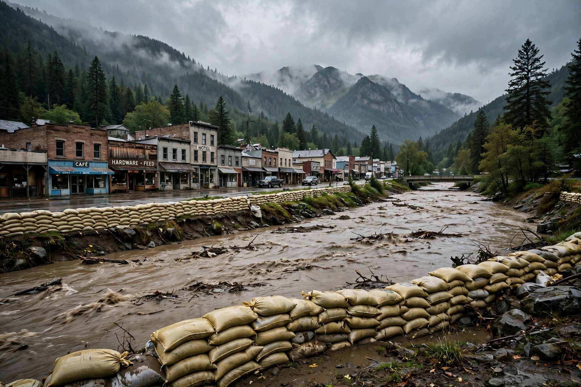
There is a peculiar kind of mercy in a forecast that does not come true, and a peculiar kind of exhaustion in a town that has already been through too much to feel fully relieved. Pagosa Springs spent the weekend bracing for water that would surpass the devastating flood of 1911, a benchmark that has defined the outer limit of the town's imagination for more than a century. When the river finally crested on Sunday night, it did not reach that limit. But it came close enough to leave a mark.
The San Juan River peaked at 16.81 feet, according to preliminary data from National Oceanic and Atmospheric Administration river gauges, well below the forecast of nearly 22 feet that had prompted a rare "particularly dangerous situation" warning and a mandatory evacuation order for downtown and low-lying areas . The 1911 flood crested at approximately 17.8 feet, and for a brief stretch on Sunday, officials believed the river might exceed that by two feet or more . It did not. But 16.81 feet is still major flooding—the second-highest on record, and nearly two feet higher than the river's crest less than two weeks earlier .
The relief, however, has been partial. Mandatory evacuation orders remained in effect on Monday for all flood-prone areas along the San Juan, Rio Blanco, Navajo, and Piedra rivers, including downtown Pagosa Springs. Residents along Stollsteimer Creek adjacent to U.S. 160 were also evacuated, and the rest of Archuleta County was asked to shelter in place . An emergency shelter opened at the Pagosa Lakes Property Owners Association Clubhouse, and officials warned that extensive damage was still expected .
Less than two weeks before this weekend's flooding, a separate flood had already damaged more than 500 homes and 150 miles of road in Archuleta County, stranding dozens of residents . The ground was saturated before the latest storm arrived, and the river channels had been reshaped by the earlier surge of water, silt, sand, and debris. San Juan County spokesperson Devin Neeley put it plainly: "The areas that have already flooded will undoubtedly flood again and due to the changes to the river channel and additional silt, sand and debris in the riverbed, we expect those flooding impacts to be greater than they were before" .
Downstream in New Mexico, the water continues to move. A flood warning remained in effect along the San Juan River from the Four Corners through Mexican Hat, Utah, with a secondary crest near 23.5 feet expected near Bluff early Thursday morning . In Farmington, the river was forecast to crest at 8.1 feet Monday afternoon, just below flood stage . The system has become a slow-moving pulse of water working its way through a landscape that was not built for this much of it at once.
For the people of Pagosa Springs, the weekend carried a strange arithmetic of fear and gratitude. The river did not do what was feared. But it did enough, and the town will spend the coming days measuring the difference between what was predicted and what arrived.
Image Disclaimer: The photographs in this report were generated by artificial intelligence and do not depict actual locations or conditions.
Sources: The Denver Post, The New York Times, Albuquerque Journal, The Canadian Press/AP, National Weather Service
Published by Banx Network. This article is part of the Banx decentralized media programme, powered by the BXE token on the XRP Ledger.