The ocean has always been a master of subtle rhythms, its tides rising and falling in a dance dictated by the moon and the sun. For centuries, we have relied on tide gauges—lonely sentinels placed along coastlines—to measure these movements. Yet, these instruments offer only a fragmented view, like trying to understand a symphony by listening to a single violin. Now, a new approach promises to reveal the full orchestration of the tides, bringing clarity to the waters that shape our shores.
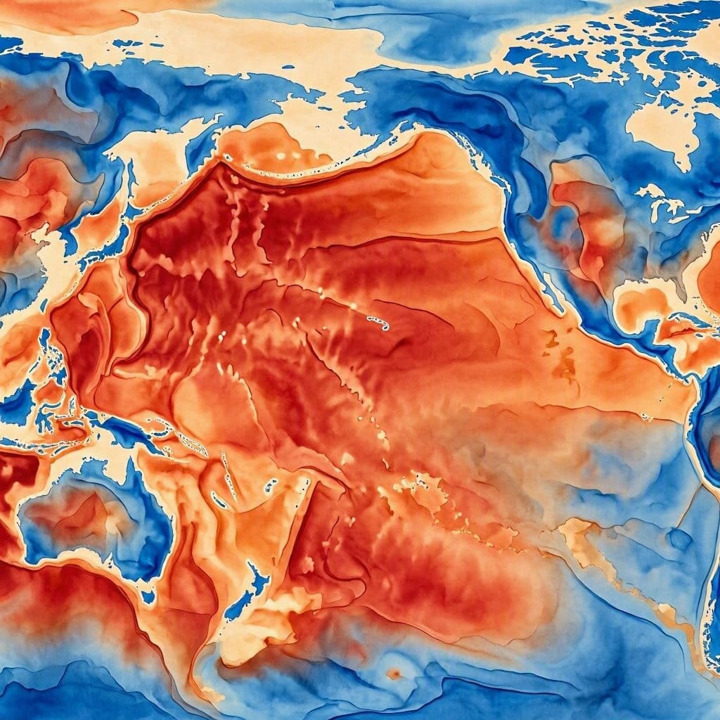
Researchers have developed an innovative method that leverages satellite imagery to map tidal patterns with unprecedented local precision. By analyzing the subtle changes in water surface height captured from space, scientists can now create detailed maps of tidal behavior in specific coastal areas. This technique moves beyond the broad, generalized models of the past, offering a granular understanding of how tides interact with complex shorelines.
The significance of this advancement lies in its ability to capture local variations that traditional methods often miss. Coastlines are not uniform; they are intricate landscapes of bays, estuaries, and reefs, each influencing the flow of water in unique ways. Satellite data allows for a comprehensive view, revealing how tides behave in these nuanced environments. It is akin to switching from a blurry sketch to a high-resolution photograph.
This improved mapping has practical implications for communities living near the water. Accurate tidal predictions are essential for navigation, fishing, and coastal management. As sea levels rise due to climate change, understanding local tidal dynamics becomes even more critical. The new method provides the data needed to plan for flooding, protect infrastructure, and ensure the safety of those who depend on the sea.
Moreover, the technology highlights the power of remote sensing in environmental science. Satellites, orbiting hundreds of miles above, can detect changes that are invisible to the naked eye. This perspective offers a holistic view of the Earth’s systems, connecting distant phenomena with local realities. It is a reminder that sometimes, to see the details clearly, one must step back and look at the bigger picture.
The process involves sophisticated algorithms that interpret satellite data, filtering out noise and isolating tidal signals. This computational effort transforms raw images into actionable information, bridging the gap between observation and application. It is a testament to the synergy between technology and nature, where digital tools help us decode the natural world’s complexities.
As this method gains traction, it may redefine how we monitor our oceans. The shift from sparse point measurements to continuous spatial coverage represents a paradigm change in oceanography. It invites us to rethink our relationship with the tides, not as unpredictable forces, but as measurable and manageable elements of our environment.
The ability to map tides locally with such precision is a quiet triumph of modern science. It offers a clearer lens through which to view the ocean’s rhythms, providing both knowledge and security. In understanding the tides better, we find a deeper respect for the delicate balance that sustains life along the coasts.
AI Image Disclaimer: Please note that the visual accompaniments for this article are AI-generated illustrations intended to evoke the concept of satellite monitoring and tidal mapping, rather than representing actual satellite data outputs.
Sources: Nature Geoscience, ScienceDaily, EurekAlert, NASA Earth Observatory
Published by Banx Network. This article is part of the Banx decentralized media programme, powered by the BXE token on the XRP Ledger.