
The boundary between land and sea has never been entirely fixed. Coastlines shift over centuries, shaped by tides, storms, and geological change. Yet today, scientists are observing transformations unfolding at a pace that commands growing attention.
Recent measurements from satellites and climate monitoring systems indicate that global sea levels continue to rise, with evidence suggesting acceleration in some regions. The trend is linked primarily to melting glaciers, shrinking ice sheets, and the thermal expansion of warming seawater.
When water warms, it expands. This simple physical principle contributes significantly to sea-level changes. At the same time, large ice masses in Greenland and Antarctica continue losing volume, adding additional water to the world's oceans.
Researchers emphasize that sea-level rise does not affect every coastline equally. Local geography, ocean currents, land elevation, and regional weather patterns influence how communities experience changing water levels. Some areas may observe gradual encroachment, while others face heightened flooding risks during storms.
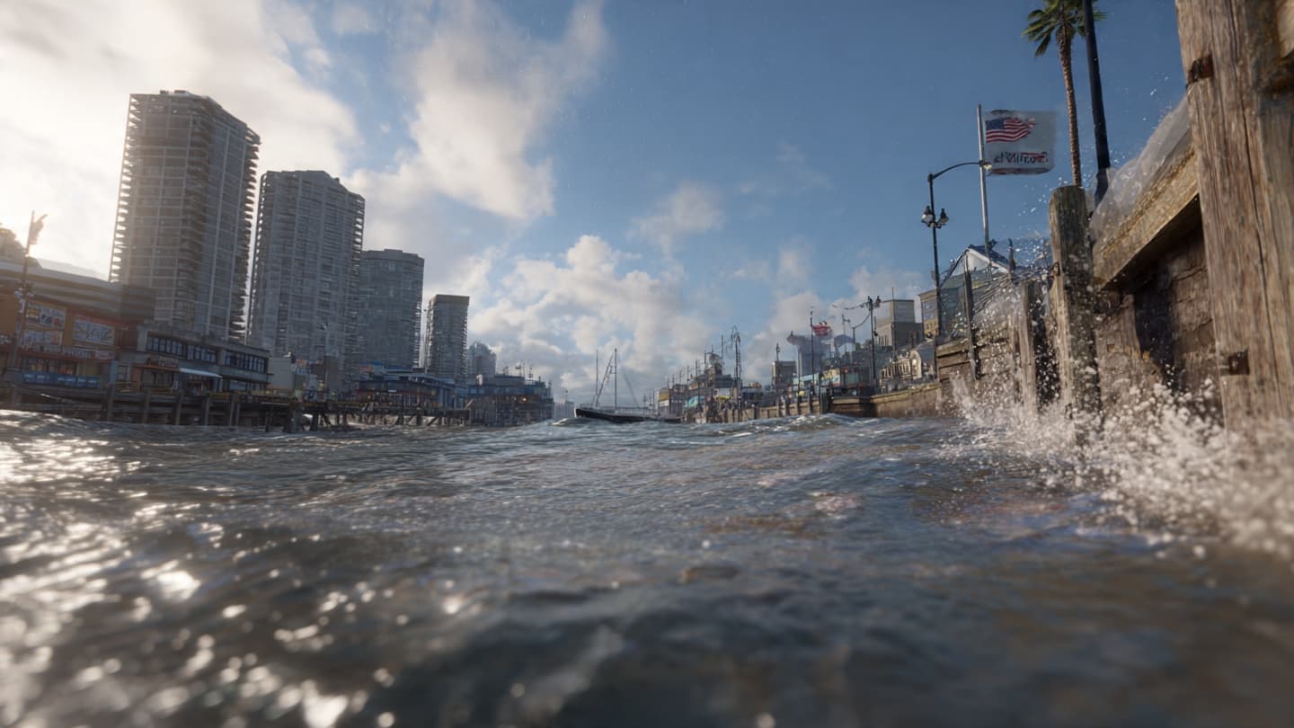
Coastal cities are among the most closely monitored locations. Infrastructure such as ports, roads, drainage systems, and residential developments often occupy low-lying areas vulnerable to flooding. Long-term planning increasingly incorporates projections related to future sea-level conditions.
Small island nations face particular challenges due to their geographic characteristics. Even modest increases in average sea level can influence freshwater resources, coastal ecosystems, and economic activities tied closely to shoreline environments.
Environmental impacts extend beyond human settlements. Wetlands, mangrove forests, and coastal habitats may experience significant ecological changes as saltwater intrusion alters local conditions. These ecosystems often provide critical services including biodiversity support and storm protection.
To better understand future scenarios, scientists use sophisticated climate models combined with satellite observations and field measurements. Continuous monitoring allows researchers to evaluate trends and improve projections that inform adaptation planning worldwide.
Many governments are investing in resilience measures such as seawalls, flood barriers, habitat restoration projects, and updated building standards. While approaches vary by location, the objective remains similar: reducing vulnerability while preparing for changing environmental conditions.
For now, the world’s coastlines continue their gradual conversation with the sea. Scientists will keep tracking developments, while communities and policymakers weigh strategies designed to navigate a future shaped increasingly by rising waters and evolving climate realities.
AI Image Disclaimer
Visuals are created with AI tools and are not real photographs.
Source Check Credible sources identified:
Reuters NASA Intergovernmental Panel on Climate Change (IPCC) World Meteorological Organization (WMO) European Space Agency (ESA)
Note: This article was published on BanxChange.com and is powered by the BXE Token on the XRP Ledger. For the latest articles and news, please visit BanxChange.com