There is a particular kind of transformation that overtakes a regional city when the state decides it is time to grow—a transformation that begins with maps and planning documents and ends, decades later, with streets and schools and the ordinary rhythms of new lives. For Warrnambool, a coastal city at the end of the Great Ocean Road, that transformation has now been formally approved. The Victorian planning minister has signed off on the East of Aberline Precinct Structure Plan, a development that will add approximately 4,500 new homes and up to 15,000 residents to a city that currently numbers around 36,000. It is the largest single expansion in Warrnambool's history since the town was surveyed in 1845 .
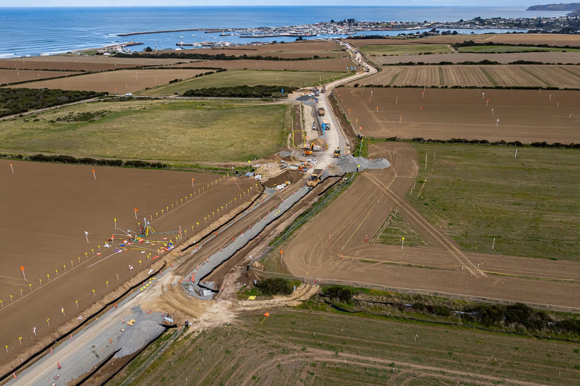
Mayor Ben Blain has described the development in terms that make its scale comprehensible: "At up to 15,000 people, East of Aberline will eventually be a community similar in size to Colac, so it's a very important development for Warrnambool" . The precinct spans 407 hectares in the city's northeast, with plans for a town center, a government primary school, parks, sporting reserves, community facilities, and a network of walking and cycling paths. A supermarket and retail shops are also planned. The development contributions plan establishes how developers will fund the infrastructure required to support the new community, including transport, drainage, and community facilities .
The approval arrives at a moment of acute housing pressure. Warrnambool's rental vacancy rate stands at 0.8 percent, a figure that leaves little room for the workers, families, and individuals who need homes. The city has long been recognized as a regional center, but its growth has been constrained by limited housing stock. The East of Aberline precinct is designed to address that constraint over a period of twenty to thirty years, with construction expected to begin within a year. Blain noted that the plan includes a range of housing options, including one- and two-bedroom dwellings, a diversity that he described as "really exciting" .
The project has been years in the making. The Warrnambool Futures Plan, a long-term land use strategy, was developed through community consultation that included online surveys and workshops. The engagement report found that residents value the city's coastal location, natural environment, and small-town feel, and that they support growth provided it is managed carefully. Key concerns included infrastructure keeping pace with housing, public transport, and the protection of rural and farming land . The East of Aberline plan addresses some of those concerns by setting aside land for community facilities and preserving environmental areas like Francis Tozer Reserve and Russells Creek .
For a city that has grown by only 2,250 residents over the past decade, the prospect of adding 15,000 in the coming decades represents a fundamental shift. It is the kind of change that will reshape the city's identity—not replacing what exists, but layering new neighborhoods and new institutions over the familiar landscape. Blain acknowledged the scale of the opportunity, saying the council had worked closely with the government and would continue to advocate for the facilities that sustainable growth requires .
The first homes will not be built for at least a year, and the full build-out will take decades. But the decision has been made, the plans have been approved, and the future of Warrnambool now includes a place that does not yet exist—a community of thousands, living on land that is today still open and waiting. "We have an opportunity to create a well-connected community where people can live, work and play," Blain said . The maps are drawn. The building will follow.
AI Image Disclaimer: The visual elements in this article were created using AI generation tools and are intended for illustrative purposes only.
Sources: ABC News, Warrnambool City Council, Your Say Warrnambool
Published by Banx Network. This article is part of the Banx decentralized media programme, powered by the BXE token on the XRP Ledger.