There is a moment in the northern autumn when the sky stops negotiating. The rain that has fallen for weeks, patient and gray, changes its mind and becomes something heavier. Environment Canada has issued a special weather statement for a "significant fall storm" headed to northern Manitoba, a system that will arrive Friday evening and persist through the weekend, bringing rain that will transition into heavy, wet snow with as much as fifteen to twenty-five centimeters expected in some areas .
The storm's reach is vast. It covers an area from Brochet to Churchill, including Tadoule Lake, Lynn Lake, Leaf Rapid, and Pukatawagan . The forecast calls for rainfall totals of twenty to forty millimeters before the shift into snow. During that transition, the precipitation will briefly become freezing rain, a detail that adds a layer of hazard to roads and walkways already slick with the season's first real cold . The highest snowfall accumulations are expected over Brochet and Tadoule Lake.
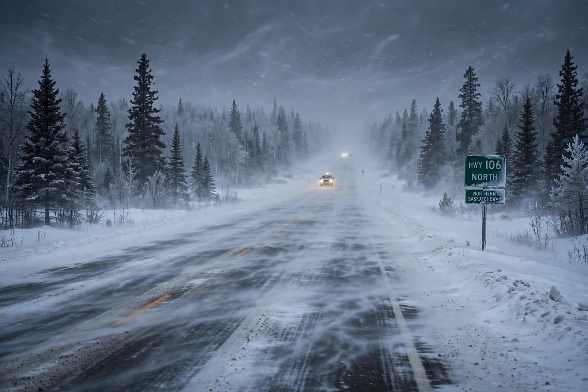
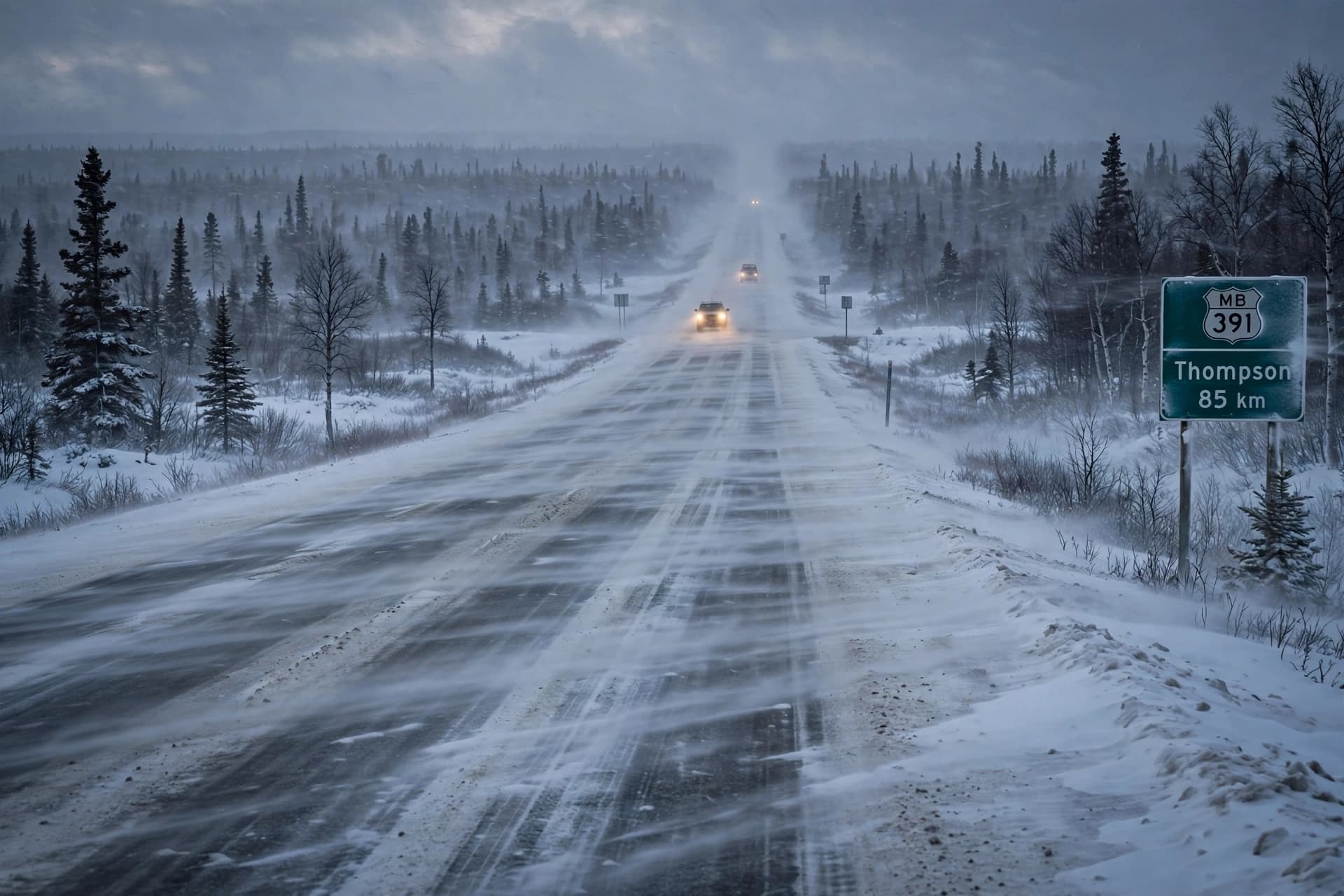
What makes this system notable is not only the volume of snow but the wind that accompanies it. Gusts of up to ninety kilometers per hour are forecast, and when those winds meet falling snow, the result is blowing snow and significantly reduced visibility . For communities in the north, many of them small and connected by highways that stretch across distances measured in hours rather than minutes, that combination is more than an inconvenience. It is a reason to change plans, to delay travel, to prepare for the possibility of being snowed in.
The timing is typical for late October in northern Manitoba, a month that serves as a transition zone between the last gasp of fall and the first real blast of winter. But typical does not mean trivial. A storm that drops twenty-five centimeters of heavy, wet snow, driven by ninety-kilometer winds, can down power lines, close roads, and isolate communities that are already far from the services that southern Canadians take for granted. The forecast is a warning, and warnings in the north are taken seriously.
Conditions are expected to improve on Sunday as the snow tapers off and the winds diminish . But the weekend itself will be a test of preparation and patience. Residents in the affected areas are doing what northerners do when the sky turns: they are watching the forecasts, filling their tanks, checking on neighbors, and adjusting their expectations for the days ahead. Motorists are being urged to monitor conditions before traveling, and the advice is not routine. It is the kind of advice that can mean the difference between a delayed trip and an emergency.
There is a certain honesty in a storm like this one. It does not negotiate. It arrives with the weight of the season behind it, and it asks only that those in its path take it seriously. For northern Manitoba, the weekend will be a reminder that the land is vast, the weather is powerful, and the space between them is where people live, preparing as they always have for the sky to change its mind.
---
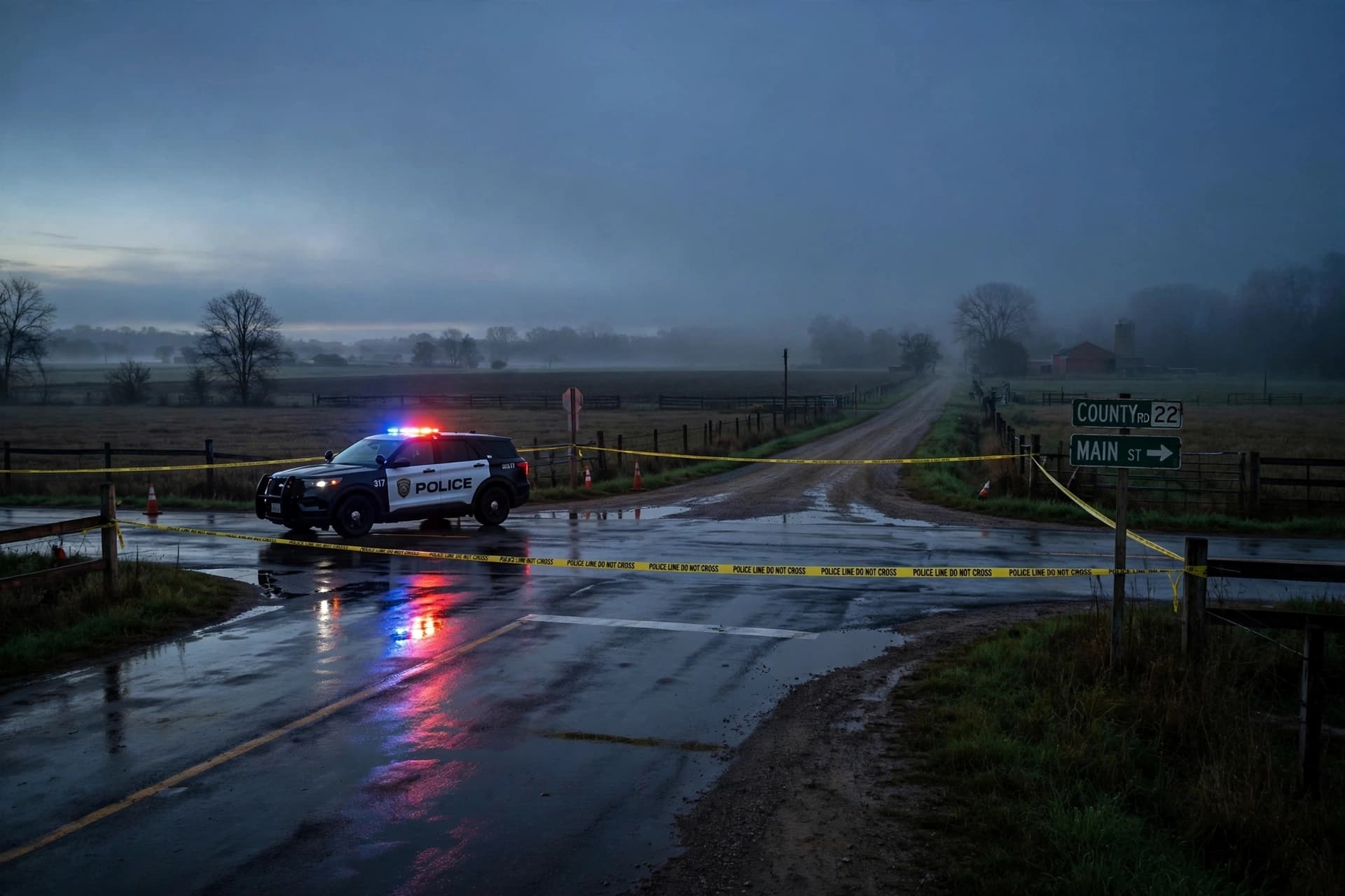
Image Disclaimer: All visuals in this article are AI-generated and are not actual photographs of the storm or its effects.
Sources: Environment Canada, CBC News,
Published by Banx Network. This article is part of the Banx decentralized media programme, powered by the BXE token on the XRP Ledger.