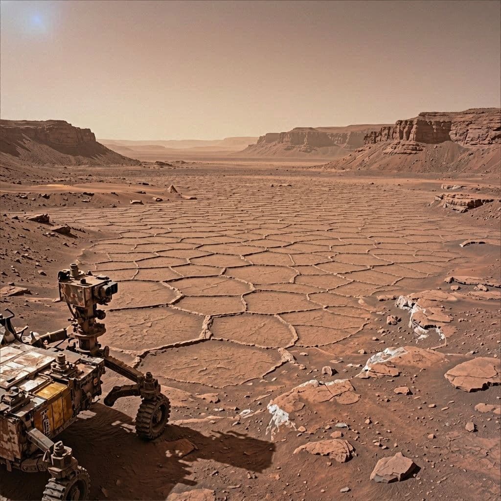
There are moments in planetary exploration when an unfamiliar landscape seems strangely familiar. From millions of miles away, Mars occasionally reveals patterns that resemble cracked earth after a long drought or the intricate geometry of a honeycomb. Such scenes remind scientists that even an alien world can preserve traces of natural processes that echo those found on Earth. NASA's Curiosity rover has now encountered one of the most extensive examples of these remarkable formations yet discovered.
While ascending a Martian valley known as Valle Grande, Curiosity transmitted panoramic images revealing an immense field of polygonal fractures stretching across the surrounding terrain. The rover had previously documented similar honeycomb-like patterns in scattered locations, but never on such a broad scale. In the newly captured 360-degree panorama, the geometric features extend in nearly every direction, covering the valley floor and wrapping around nearby rock formations.
Each polygon measures roughly 4 to 8 centimeters (1.5 to 3 inches) across. Although their appearance resembles dried mud on Earth, scientists caution that several geological processes could produce similar textures. Ancient mud cracking remains one possibility, but repeated cycles of temperature change, groundwater movement, mineral deposition, or compression within buried sediments may also have contributed to the distinctive network of fractures.
Mission scientists are carefully examining both the shapes and chemical composition of the formations. Curiosity's suite of scientific instruments allows researchers to analyze minerals embedded within the fractured rocks, helping determine whether liquid water once played a direct role in their formation. These measurements may reveal how environmental conditions changed over billions of years as Mars transitioned from a wetter world into the cold desert observed today.
The discovery is particularly significant because Valle Grande lies along Curiosity's continuing ascent of Mount Sharp inside Gale Crater. Previous investigations have shown that rivers and lakes once existed around the mountain's lower slopes. If the newly discovered polygon field also formed in the presence of water, it could strengthen evidence that surface or groundwater remained active in this region longer than previously understood.
Researchers emphasize that no single explanation has yet been confirmed. Geological formations often preserve evidence of multiple overlapping processes that occurred over vast periods of time. Laboratory analyses on Earth, combined with Curiosity's ongoing observations, will help scientists determine which mechanisms best explain the extensive honeycomb landscape.
Beyond its scientific importance, the panorama illustrates the continuing value of Curiosity's mission more than a decade after its arrival on Mars in 2012. The rover continues to encounter previously unseen terrain while collecting detailed geological records that expand understanding of the planet's ancient climate and its potential habitability.
The newly discovered "sea of polygons" represents another chapter in Mars' long geological history waiting to be interpreted. Each carefully examined fracture offers another clue about the environmental conditions that shaped the Red Planet billions of years ago. As Curiosity continues its journey across Gale Crater, the quiet geometry beneath its wheels may help reveal how a once-water-rich world gradually evolved into the landscape we see today.
AI Image Disclaimer: The accompanying images are AI-generated artistic interpretations based on NASA mission findings and are intended to illustrate the reported geological features rather than reproduce the rover's original photographs.
Sources (Verified):
NASA NASA Jet Propulsion Laboratory (JPL) The Verge Independent Space.com
Published by Banx Network. This article is part of the Banx decentralized media programme, powered by the BXE token on the XRP Ledger.