
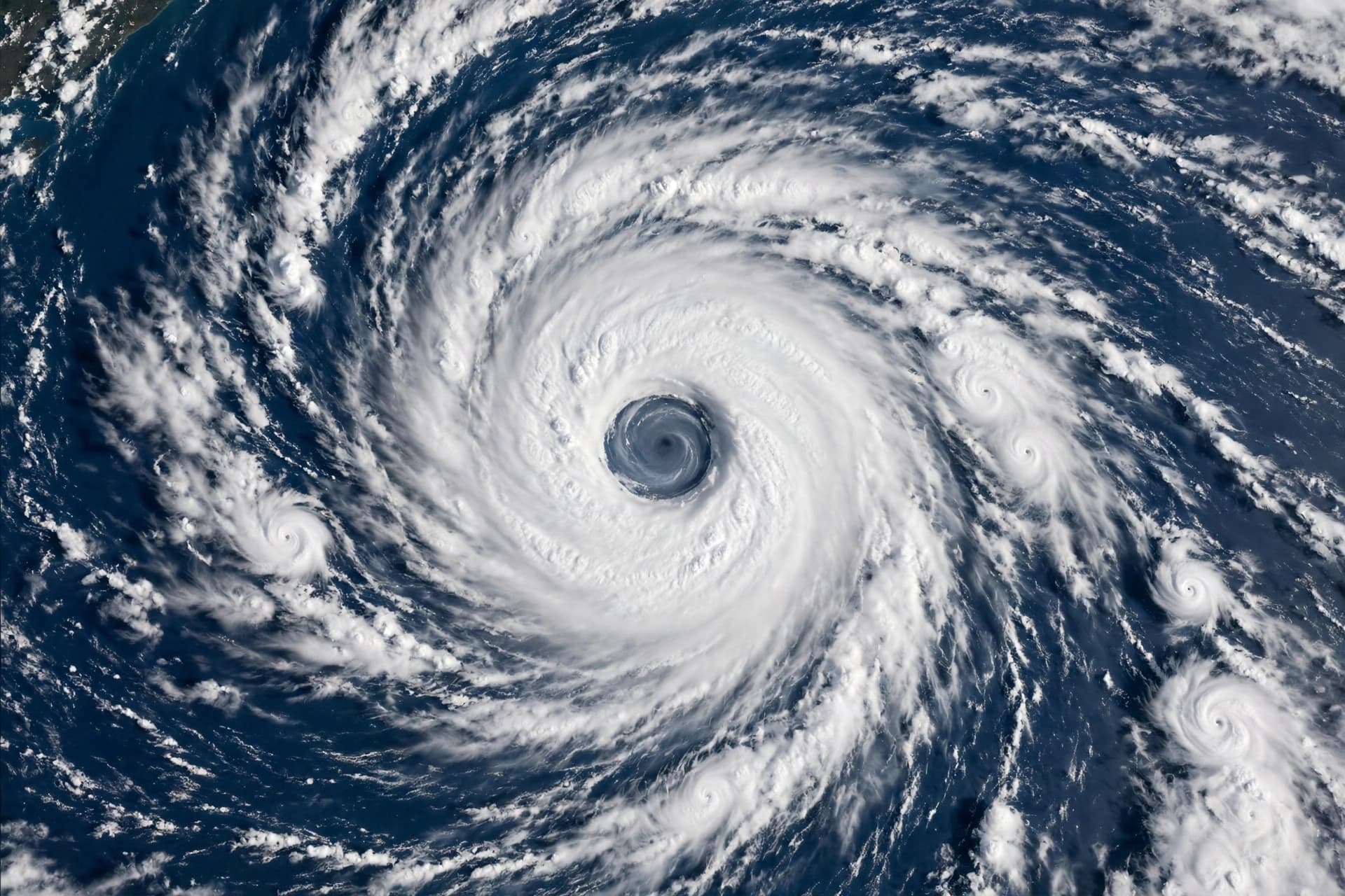
There is a particular awe that arrives when a satellite captures a storm at its peak, a perspective that strips away the human scale and reveals something closer to the planet's own machinery. Super Typhoon Champi, churning across the western Pacific this week, has offered that perspective. Satellite imagery shows a well-defined, almost perfectly symmetrical eye about 80 kilometers wide, surrounded by a thick ring of intense convection, the signature of a storm that has reached the upper limits of what the atmosphere can produce .
According to meteorological agencies, Champi is now considered the strongest typhoon in the Northwest Pacific in 2026, surpassing Super Typhoon Sinlaku. On the morning of October 21, the storm was located approximately 800 kilometers east-southeast of Luzon Island in the Philippines, with maximum sustained winds of about 210 kilometers per hour and a central pressure of 900 hectopascals . At that intensity, it is equivalent to a Category 5 hurricane on the Saffir-Simpson scale.
The structure of the storm is what forecasters watch most closely. Satellite cloud imagery reveals a very strong and well-organized system, with the wide, clearly defined eye serving as a marker of its power . The Pacific Disaster Center described the eye as embedded in a nearly symmetric central dense overcast, with excellent ventilation in all directions, and noted that animated infrared imagery showed cloud top temperatures of minus 80 to minus 83 degrees Celsius surrounding the warm eye . These are the numbers that describe a storm that has organized itself with brutal efficiency.
The forecast track suggests Champi will not make a direct landfall in Taiwan, and it is not expected to enter the South China Sea. Instead, it is projected to gradually shift northwestward and then weaken as it moves over cooler waters and encounters less favorable conditions . By around October 24, as it approaches the waters east of Taiwan, it is forecast to weaken to the equivalent of a Category 10 storm on the regional scale, and then turn northeast toward Japan and South Korea. By October 25, its intensity is expected to drop further as it moves toward southern Japan .
Even as it weakens, the storm's reach is significant. Its wide circulation could bring strong winds and waves of two to four meters to the northeastern area of the northern South China Sea, a reminder that a typhoon's influence extends far beyond its center . Earlier in its life, Champi passed just south of Guam, where it produced peak wind gusts of 72 knots at Guam International Airport and 59 knots at Andersen Air Force Base . The storm's pinhole eye was visible in satellite imagery as it passed, a precursor to the giant eye it would later display.
There is a quiet lesson in watching a storm like this from above. The eye is not a void but a structure, a calm center maintained by the violence around it. The symmetry is not peace but balance, the temporary equilibrium of a system that will not last. Champi will weaken, as all storms do, and the Pacific will return to its ordinary rhythms. But for a few days in October, the satellite images offered a view of the atmosphere at its most powerful, and the eye stared back.
---
AI Image Disclaimer: The images in this article are generated by artificial intelligence and are intended for illustrative purposes only.
Sources: Vietnam.vn, Pacific Disaster Center, CIMSS/SSEC, National Weather Service Tiyan
Published by Banx Network. This article is part of the Banx decentralized media programme, powered by the BXE token on the XRP Ledger.