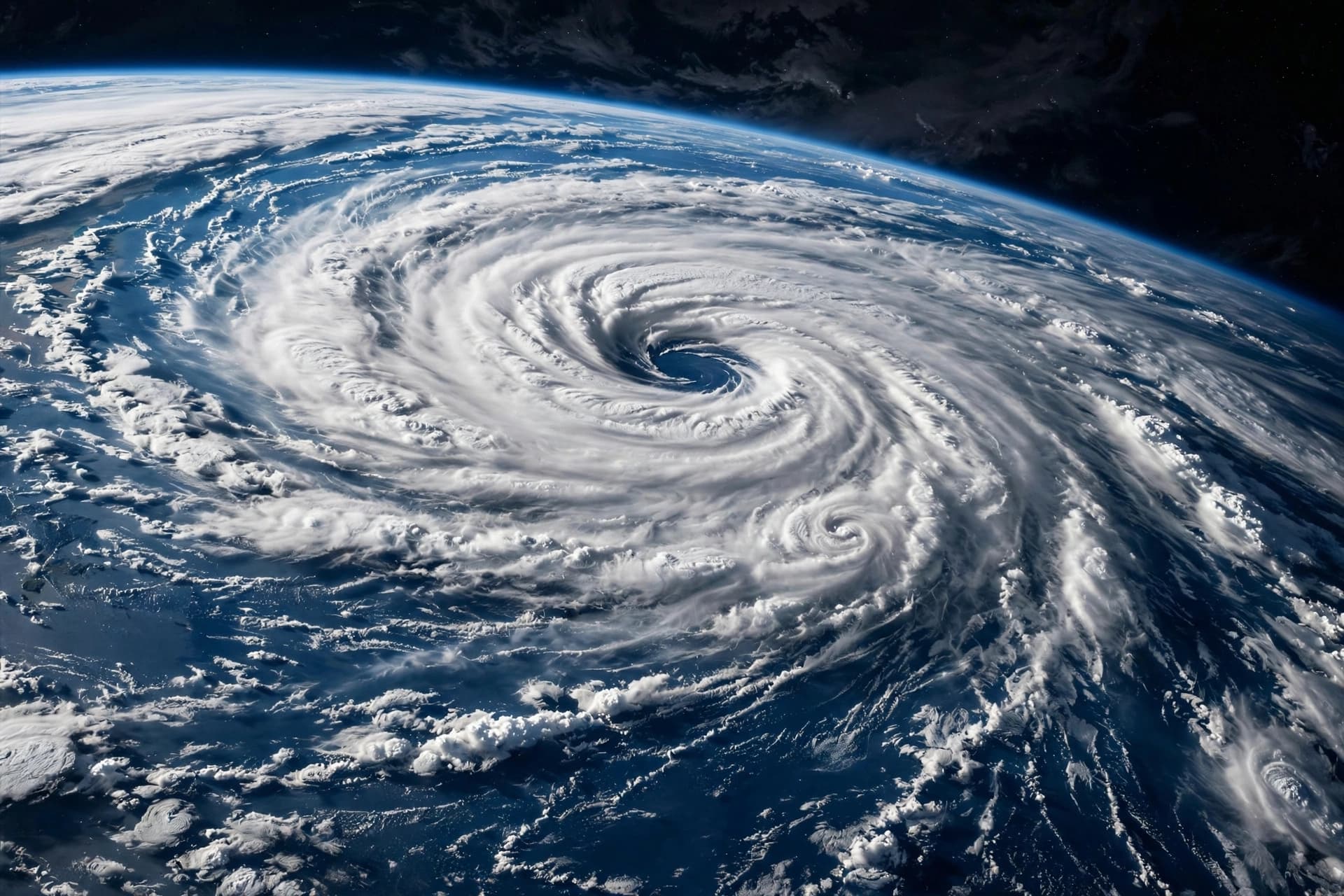
The vast expanse of the Pacific Ocean, usually a cradle of calm currents and predictable tides, has transformed into a theater of atmospheric turbulence. A powerful El Niño event, now intensifying into what meteorologists describe as a "super" phenomenon, is fueling an unprecedented surge in tropical cyclone activity. The warm waters that define this climate pattern are acting as high-octane fuel for storms, creating a season that challenges historical records and tests the resilience of coastal communities. It is a stark reminder of nature’s raw power and the delicate balance of our global climate system.
El Niño, characterized by the warming of sea surface temperatures in the central and eastern Pacific, disrupts normal weather patterns worldwide. In the Pacific basin, this warmth reduces vertical wind shear, allowing storms to form and strengthen with greater ease. This year, the effect has been particularly pronounced, with multiple hurricanes developing simultaneously in the eastern and central Pacific. The ocean, heated to exceptional levels, provides the energy needed for these systems to grow rapidly, often catching forecasters and residents off guard.
For nations bordering the Pacific, from Mexico to the islands of Oceania, the threat is immediate and severe. High winds, torrential rains, and storm surges pose significant risks to infrastructure and livelihoods. Emergency services are on high alert, preparing for potential evacuations and disaster response. The frequency of these events underscores the need for robust preparedness plans and international cooperation. Safety is a shared responsibility.
Scientists note that while El Niño is a natural cycle, its intensity may be influenced by broader climate change trends. Warmer global temperatures can exacerbate the effects of El Niño, leading to more extreme weather events. This intersection of natural variability and human-induced change creates a complex challenge for climate modeling and prediction. Understanding these dynamics is crucial for future adaptation. Knowledge is our best defense.
The impact extends beyond the Pacific, influencing weather patterns across the globe. While the Atlantic hurricane season may be suppressed by the same El Niño conditions, other regions face increased risks of drought or flooding. The interconnectedness of the Earth’s climate system means that a disturbance in one area can ripple outward, affecting millions. We are all part of a single, dynamic ecosystem.
Public awareness of these risks is growing, driven by real-time data and media coverage. Communities are learning to recognize the signs of strengthening storms and take proactive measures. Education and communication are key to reducing vulnerability. Empowerment comes from information.
As the season progresses, meteorologists continue to monitor the development of new systems. Advanced satellite technology and computer models provide critical insights, allowing for more accurate forecasts. These tools save lives by giving people time to prepare. Technology serves humanity.
In the end, the current surge in Pacific cyclones is a testament to the power of El Niño. It reminds us of our vulnerability to natural forces and the importance of respecting the environment. As we navigate this active season, the hope is for safety, resilience, and a deeper understanding of our planet. Nature demands our attention.
AI Image Disclaimer: The visual representations included here are AI-generated illustrations designed to depict oceanic weather patterns and tropical cyclones, not actual satellite imagery or photographs of specific storms in the Pacific Ocean.
Sources: NOAA Weather.com ABC News
Published by Banx Network. This article is part of the Banx decentralized media programme, powered by the BXE token on the XRP Ledger.