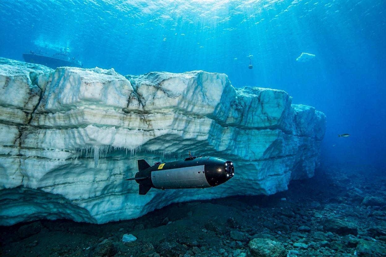
Some of the world's most important discoveries begin where sunlight struggles to reach. Beneath towering glaciers and the icy waters that surround them, unseen currents quietly shape the future of oceans, coastlines, and communities around the globe. This new chapter of exploration unfolds as Boaty McBoatface, the autonomous underwater vehicle known as much for its memorable name as its scientific capabilities, begins a new mission beneath Greenland's glaciers to deepen researchers' understanding of climate change.
Developed as part of the United Kingdom's National Oceanography Centre's autonomous research program, Boaty McBoatface has become an advanced scientific platform capable of operating in environments that remain difficult or dangerous for human researchers. Its latest deployment focuses on gathering detailed measurements beneath Greenland's floating glacier fronts, where warming ocean waters interact directly with massive sheets of ice.
Scientists have long recognized Greenland as one of the most important regions for monitoring global climate trends. The island's ice sheet contains enough frozen water to significantly influence global sea levels if melting continues over the coming decades. Understanding exactly how relatively warm seawater reaches glacier bases has therefore become a major scientific priority.
Unlike conventional research vessels, autonomous underwater vehicles can travel close to glacier fronts and beneath floating ice shelves while collecting highly detailed observations. During this mission, Boaty McBoatface will measure water temperature, salinity, ocean currents, pressure, and other environmental conditions that help scientists understand how heat is transferred beneath the ice.
The information collected will contribute to improving climate and ocean circulation models used by researchers around the world. More accurate observations allow scientists to better estimate glacier melt rates, predict future sea-level changes, and evaluate how polar environments respond to rising global temperatures. Such data also supports policymakers and coastal planners who rely on scientific projections for long-term decision-making.
The mission represents an international effort involving oceanographers, climate scientists, engineers, and research institutions working together to study one of Earth's most rapidly changing environments. Advances in autonomous technology have made it possible to observe locations that previously remained largely inaccessible, expanding humanity's understanding of complex polar systems.
Although Greenland's glaciers have been monitored for many years using satellites, aircraft, and surface expeditions, direct measurements beneath the ice remain comparatively limited. By navigating through these hidden underwater environments, Boaty McBoatface is expected to provide valuable observations that complement existing satellite imagery and remote sensing data.
As the mission continues beneath Greenland's icy waters, researchers hope each new dataset will add another piece to the broader picture of Earth's changing climate. While many questions remain, careful scientific observation continues to provide the evidence needed to better understand the relationship between oceans, glaciers, and the future of the global climate system.
AI Image Disclaimer: The illustrations accompanying this article are AI-generated visual interpretations created for editorial purposes and do not represent actual mission photographs.
Source Verification Check: Strong credible sources found.
Sources:
National Oceanography Centre (NOC) British Antarctic Survey BBC News Reuters Nature
Published by Banx Network. This article is part of the Banx decentralized media programme, powered by the BXE token on the XRP Ledger.