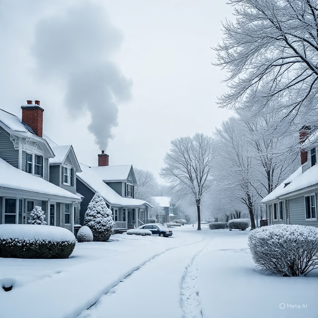
The hush before winter’s breath is arriving again over southern Minnesota — soft flakes drifting down under heavy, leaden skies. For a moment, the world outside your window seems gentler: snow falling steadily, coating fields, roads, rooftops, a silent invitation to pause and watch. Yet beneath that calm there is movement — a shifting front, a colder wind building strength just beyond the tree line.
Starting Saturday midday, a new clipper system sweeps through the region, bringing snow especially to southern Minnesota. Storm warnings and advisories have been issued across the southern tier, with the bulk of accumulation expected along and south of the Interstate-90 corridor. Cities and towns there may see several inches, with some spots near the border with Iowa seeing locally 6 inches or more. Meanwhile, areas further north — including metro zones — likely get only a light dusting or up to an inch.
As the snow tapers off late Saturday into Sunday, the real chill takes hold. Temperatures are forecast to drop sharply, with daytime highs struggling to reach the mid-20s (°F) and wind chills making it feel closer to the teens. By Sunday night and into the coming week, the cold may deepen further — a pattern of frequent snow chances mixed with persistent cold air.
For residents of southern Minnesota, that means a busy weekend ahead: snowfall, slick roads, and a sharp temperature drop. It’s a reminder how quickly winter can settle in — beauty and burden hand in glove. As flakes drift and night closes in, the land braces once again for cold, quiet, and snow-laden waiting.
AI image disclaimer: “Visuals are created with AI tools and provided only for conceptual illustration, not real photographs.”
Sources: MPR News; FOX 9 Minneapolis-St. Paul; CBS Minnesota; The Minnesota Star Tribune; WJON News
Published by Banx Network. This article is part of the Banx decentralized media programme, powered by the BXE token on the XRP Ledger.