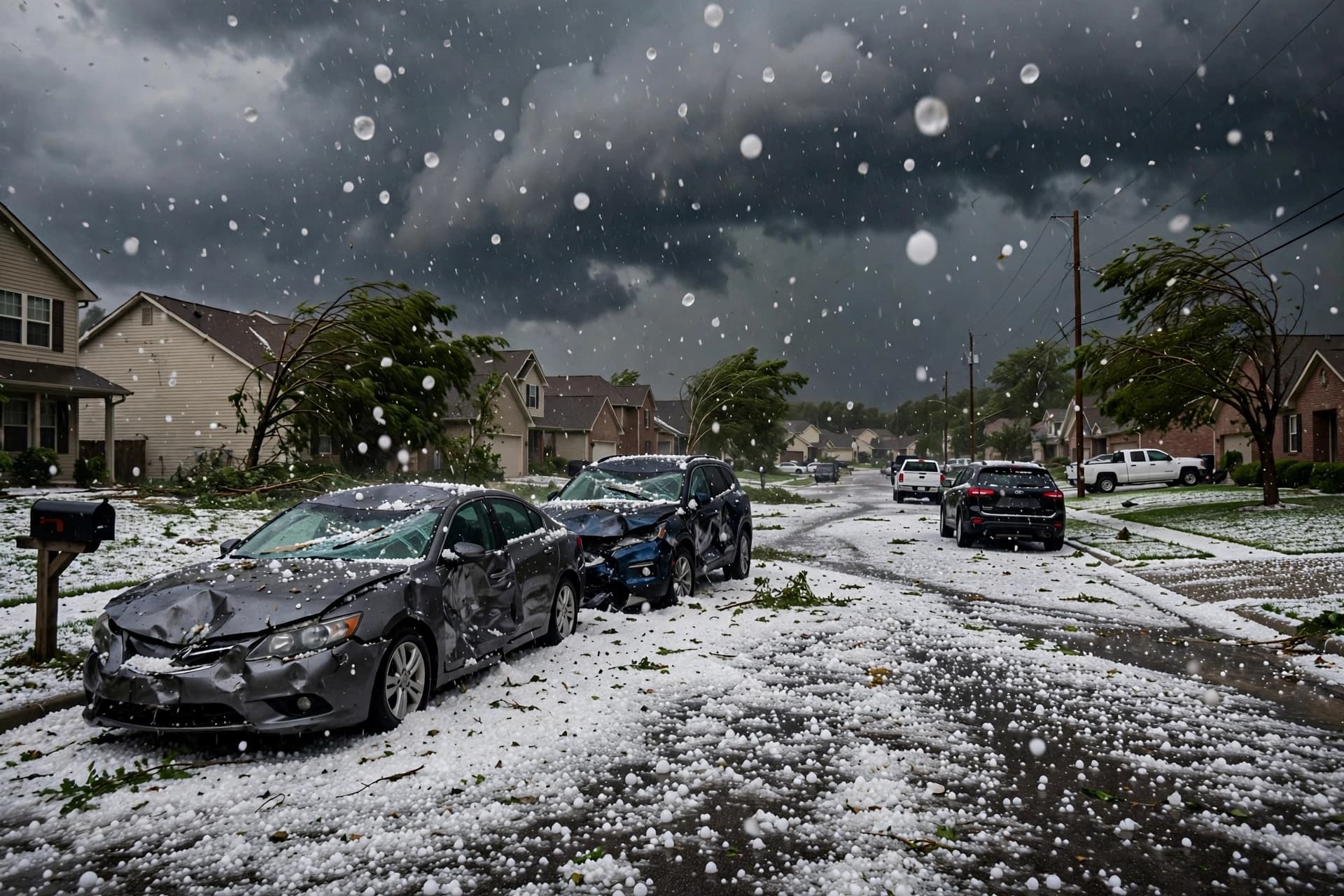
There is a particular violence in a sky that turns suddenly dark—a violence that arrives not with the slow gathering of a winter front but with the abruptness of a summer storm, when the air becomes heavy and electric and the first hailstones strike the roof like thrown stones. Across eastern Australia this week, that violence has returned. The Bureau of Meteorology has issued severe thunderstorm warnings for large hailstones, damaging winds, and heavy rainfall across parts of New South Wales and Queensland, with the most intense cells forecast to produce hail greater than five centimeters in diameter—large enough to damage vehicles, shatter windows, and strip trees of their leaves .
The warnings follow a pattern that has become familiar in recent seasons. A strong cold front and associated low-pressure system are moving across southeastern Australia, drawing moisture from the north and creating conditions ripe for severe thunderstorm development. Meteorologist Sarah Scully described the most severe storms as likely to impact the mid-north coast of New South Wales, the Hunter region, and adjacent ranges, with Brisbane and Sydney also bracing for storm activity though likely more subdued . The storms have already left their mark: more than 10,000 properties across southeast Queensland were without power following Friday's wild weather, with crews working through the night to restore supply .
For communities in the firing line, the practical advice is straightforward but urgent. The Bureau urges residents to move cars under cover or away from trees, secure loose outdoor items, and never drive through floodwaters. Power outages are expected as powerlines come down under the weight of falling branches or the force of wind gusts exceeding 90 kilometers per hour . The State Emergency Service has advised people to seek shelter indoors and avoid using telephones during thunderstorms.
What makes these events particularly challenging is their speed. Unlike the slow build of a cyclonic system, severe thunderstorms develop rapidly and move quickly, leaving little time for preparation once the warning is issued. A cell can form, intensify, and pass over a suburb within the span of an hour. The hail it drops—sometimes the size of golf balls or larger—can cause damage that is expensive and difficult to repair, particularly to roofs and vehicles.
The storms are expected to ease by Sunday, with lighter activity forecast for northern New South Wales and southeast Queensland. But the pattern of extreme weather across eastern Australia shows no sign of settling. As the climate warms, the atmosphere holds more moisture, and the conditions that produce severe thunderstorms—warm, humid air colliding with cooler changes—are becoming more common. The warnings will continue. The power will be restored. And the question of how prepared communities are for the next storm will remain.
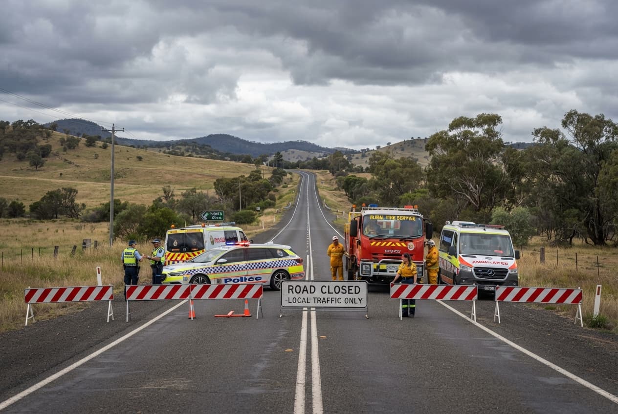
AI Image Disclaimer: The images accompanying this article were generated by artificial intelligence and are for illustrative purposes only.
Sources: Daily Mail, Townsville Bulletin, Bureau of Meteorology, The West Australian
Published by Banx Network. This article is part of the Banx decentralized media programme, powered by the BXE token on the XRP Ledger.