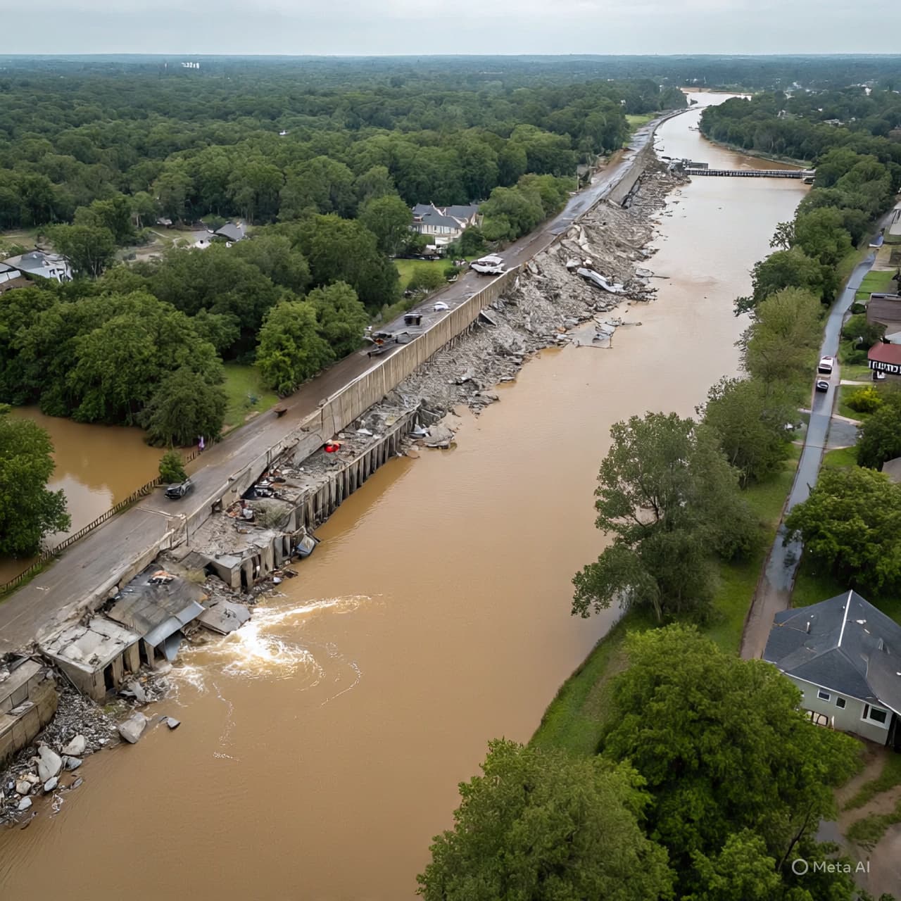
In the broad sweep of Washington’s rivers and valleys, a familiar landscape of forests and small towns has been transformed by water’s insistence. Drone footage floating above the swollen banks of rivers like the White and Green captures a mosaic of inundated roads, submerged fields, and neighborhoods clasped in muddy embrace — a reminder that nature’s quiet rhythms can, with enough rain and pressure, reshape the land in days rather than years.
From the skies, the flooding reveals itself not as isolated pools but as a network of waterways gone awry, spilling over levees and reclaiming roads once thought permanent. In Pacific, Washington, video from above shows sheets of water filling what should be dry streets, while in other counties, entire low‑lying areas lie beneath a reflective surface that mirrors a gray winter sky.
For residents on the ground, the drone’s aerial perspective tells part of a larger story — one of disruption, adaptation, and persistence. Blocked highways, lost power, and evacuated homes have become the daily backdrop for thousands of people across King, Pierce, Snohomish, and other counties. Roads that once carried commuters pulse with emergency vehicles now, while the threat of mudslides and further levee failures looms as weather forecasts still warn of rain.
Governor Bob Ferguson’s remarks reflect the cautious concern shared by many: the full extent of damage will only become clear once waters recede and floodplain soils settle. For some communities, that could take weeks. Swiftwater rescue teams, National Guard units, and local volunteers have woven through affected neighborhoods, helping those stranded by rising waters and ensuring that urgent needs are met.
Amid this, aerial footage has served as both documentation and a tool for first responders, offering a bird’s‑eye view that ground crews cannot always see. It has revealed the scale of inundation and guided decisions about where to send resources most urgently. For families forced to abandon homes or shelter in higher ground, the images speak of loss — of gardens turned to shallow lakes, driveways erased by water’s reach, and familiar landscapes unrecognizable under a veneer of floodwater.
Yet beyond the damage, these images carry something more: a portrait of resilience. Firefighters, neighbors, and volunteers continue to navigate the press of water, bringing supplies, assisting evacuations, and keeping watch through long nights. Behind each aerial shot is a community adjusting to a moment that few expected but many now endure together.
In this season of uncommon flooding, the drone footage — stark, expansive, and unfiltered — reminds us that landscapes change, and people within them adapt, repair, and rebuild. As Washington’s waters slowly pull back, the contours of recovery will come into sharper focus, shaped by shared resolve and the lived experience of places both familiar and newly altered.
AI Image Disclaimer Visuals are created with AI tools and are not real photographs; they serve as conceptual representations only.
Sources: KING5, FOX13 Seattle, The Guardian, AP News.
Published by Banx Network. This article is part of the Banx decentralized media programme, powered by the BXE token on the XRP Ledger.