Beneath our feet, the Earth holds secrets in its deep interior, concealed by miles of rock and time. For centuries, scientists have relied on earthquakes to peer into this hidden realm, using seismic waves as a form of natural X-ray. Now, a new phenomenon known as "thunderquakes" is emerging as a potential tool for exploration. These subtle vibrations, generated by powerful lightning strikes, offer a complementary method for mapping the subsurface. It is a reminder that even the most fleeting moments in the atmosphere can leave a lasting imprint on the ground below, providing clues to the structure of our planet.
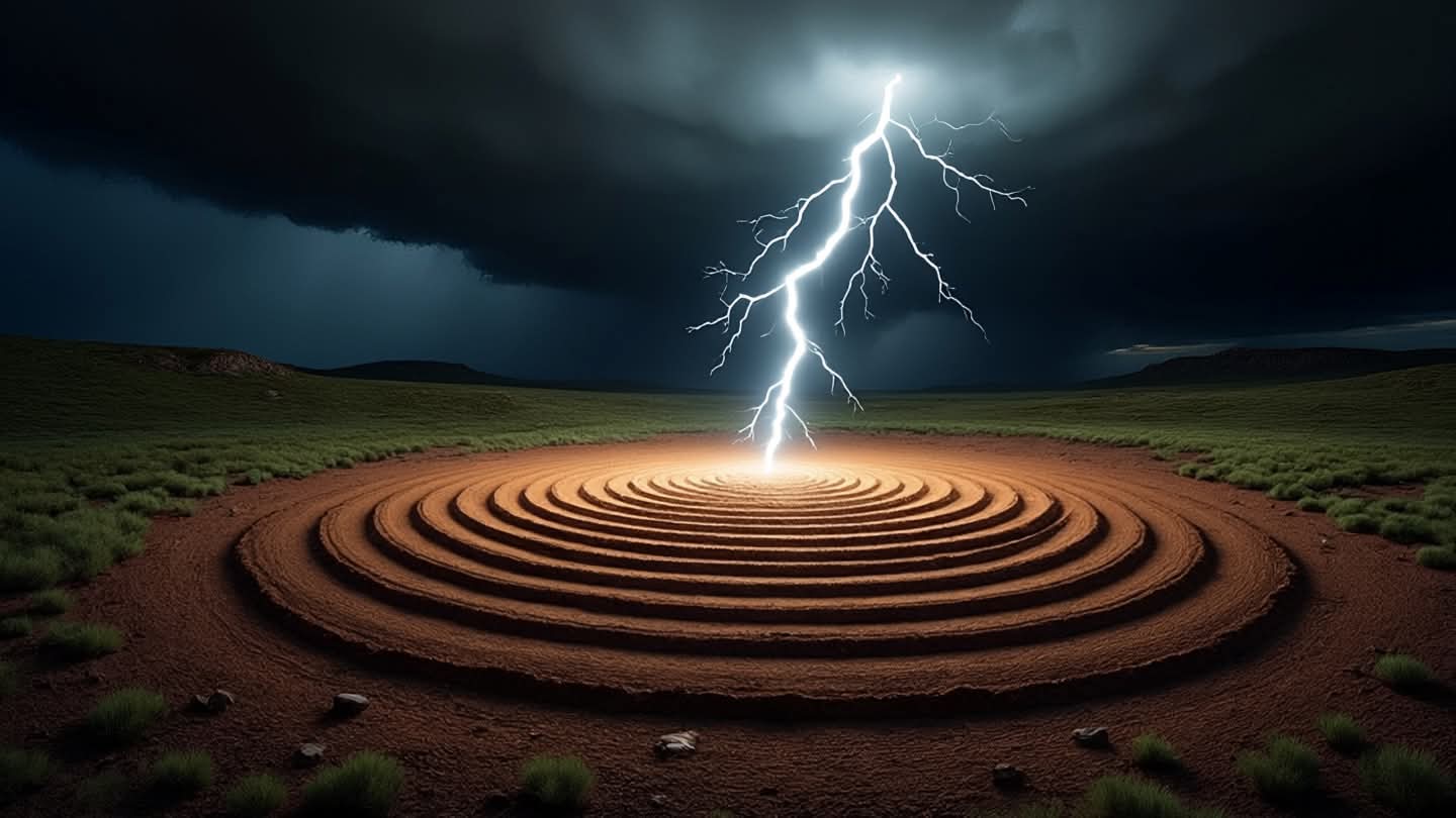
Thunderquakes occur when the intense heat from a lightning bolt causes the surrounding air to expand rapidly, creating a shockwave that travels through the ground. While much weaker than tectonic earthquakes, these signals are frequent and widespread. Researchers have discovered that by analyzing the way these waves propagate through different types of rock and soil, they can infer details about the subsurface composition. This method, known as ambient noise tomography, allows for a continuous and non-invasive scan of the Earth’s crust.
The advantage of using thunderquakes lies in their ubiquity. Unlike major earthquakes, which are unpredictable and localized, lightning storms occur regularly across many regions. This provides a steady stream of data that can be used to monitor changes in the subsurface over time. For example, shifts in groundwater levels or the movement of magma beneath volcanoes might be detected through subtle variations in how thunderquake signals are transmitted.
Scientists are increasingly integrating this data with traditional seismic records to create more detailed models of the Earth’s interior. By combining the high-energy signals from earthquakes with the low-energy, high-frequency data from thunderquakes, they can achieve a higher resolution image of geological structures. This multi-layered approach enhances our ability to identify faults, aquifers, and other features that are critical for resource management and hazard mitigation.
The study of thunderquakes also highlights the interconnectedness of Earth’s systems. What happens in the atmosphere directly influences the solid earth, bridging the gap between meteorology and geophysics. This interdisciplinary perspective encourages collaboration among scientists who traditionally work in separate fields, fostering a more holistic understanding of planetary processes. It is a convergence of disciplines that yields richer insights.
Practical applications of this research are numerous. In areas prone to landslides or subsidence, monitoring thunderquake signals could provide early warnings of instability. Similarly, in the search for geothermal energy or mineral deposits, the technique offers a cost-effective way to survey large areas without the need for expensive drilling or active seismic sources. It democratizes access to subsurface information, making it available to a wider range of stakeholders.
As technology improves, the sensitivity of instruments detecting these faint signals continues to increase. Advanced algorithms are being developed to filter out noise and isolate the specific signatures of thunderquakes. This progress ensures that the data collected is not only abundant but also accurate and actionable. The future of subsurface imaging looks brighter, thanks to the humble spark of lightning.
The use of thunderquakes to reveal hidden structures inside the Earth represents an innovative leap in geophysical science. By harnessing the power of everyday weather phenomena, researchers are unlocking new ways to understand our planet. It is a testament to the idea that even the smallest signals can carry profound meaning, if we know how to listen.
AI Image Disclaimer: Visuals accompanying this article are AI-generated illustrations designed to complement the narrative and do not depict real-time events.
Sources: Nature Geoscience Science Daily USGS (United States Geological Survey) Live Science Geophysical Research Letters
Published by Banx Network. This article is part of the Banx decentralized media programme, powered by the BXE token on the XRP Ledger.