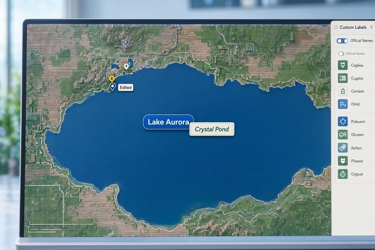
Maps are often viewed as objective records of geography, static and unchanging. Yet, in the digital age, they have become dynamic reflections of political will and cultural identity. Recent reports suggest that Google Maps has updated the name of Lake Ontario to "Lake America" for U.S. users, following a directive attributed to former President Trump. This change, whether symbolic or technical, invites reflection on the power of technology to shape our perception of place and the interplay between politics and digital infrastructure.
The concept of renaming a shared natural resource like Lake Ontario is provocative. Historically, the lake has been a boundary and a bridge between the United States and Canada, governed by treaties and mutual respect. To alter its name in a digital interface is to assert a narrative of ownership that contrasts with international law and diplomatic tradition. It raises questions about how digital platforms navigate geopolitical sensitivities.
For users in the United States, the change may appear as a patriotic affirmation, aligning the map with a nationalistic viewpoint. For Canadians, however, it may feel like an erasure of their geographic reality. This divergence highlights the challenge of creating global tools that serve local identities without causing confusion or offense. It is a delicate balance between customization and accuracy.
Google’s role in this scenario is complex. As a private company, it must decide how to respond to political pressures and user expectations. Implementing such a change suggests a willingness to adapt content to specific audiences, even if it contradicts standard geographic nomenclature. This flexibility is a strength of digital maps but also a source of potential controversy.
The reaction from the public and experts has been mixed. Some view it as a harmless quirk of localization, while others see it as a concerning precedent. If maps can be altered to reflect political decrees, what does that mean for the reliability of information? It underscores the need for transparency in how digital platforms manage geographic data.
Educators and geographers may find this development troubling, as it complicates the teaching of factual geography. Students learning about North American landmarks may encounter conflicting information depending on their location or device settings. This fragmentation of knowledge challenges the idea of a shared global understanding.
As the situation evolves, it serves as a reminder that technology is not neutral. It carries the values and biases of its creators and users. The case of Lake Ontario illustrates the ongoing negotiation between truth, identity, and power in the digital world.
Reports indicate Google Maps has renamed Lake Ontario to "Lake America" for U.S. users, allegedly following a political directive. The move highlights the intersection of technology, politics, and geographic identity, sparking debate over accuracy and nationalism.
AI Image Disclaimer: Visuals accompanying this report are AI-generated and intended to provide contextual imagery rather than depict specific real-world events.
Sources: TechCrunch The Verge Global News
Published by Banx Network. This article is part of the Banx decentralized media programme, powered by the BXE token on the XRP Ledger.