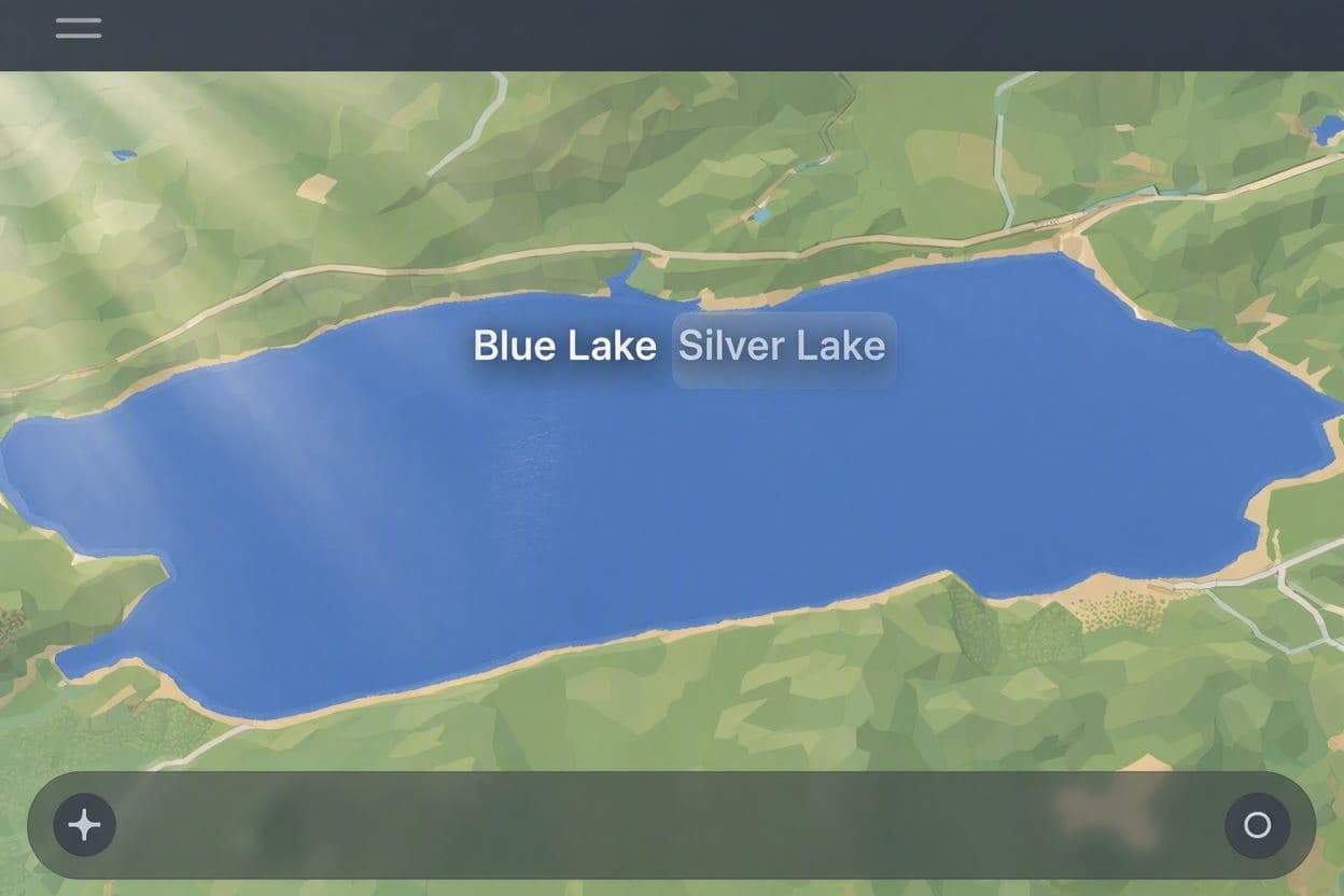
Maps are more than tools for navigation; they are mirrors of perspective, reflecting how we see ourselves and our place in the world. In a move that highlights the subjective nature of digital geography, Google Maps has begun displaying different names for the same body of water depending on the user’s location. For those in the United States, Lake Ontario now appears as "Lake America," while Canadian users continue to see its traditional name. This decision sparks a gentle curiosity about the intersection of technology, nationalism, and cartography.
The rationale behind this dual labeling is rooted in the desire to respect local identities and sensitivities. For Americans, particularly those in nearby states, the lake may be viewed through a lens of shared ownership or national pride. By adapting the name, Google aims to provide a more personalized and culturally relevant experience, tailoring the digital interface to the user’s context.
However, the choice of "Lake America" is unusual, as the lake is internationally recognized as Lake Ontario. This discrepancy raises questions about accuracy versus localization. Critics may argue that it creates confusion, while supporters might see it as a nod to the complex relationship between the two nations. It is a subtle reminder that borders are not just lines on a map but constructs of perception.
From a technical standpoint, this feature demonstrates the sophistication of modern mapping algorithms. They can detect user location and adjust content accordingly, creating a dynamic interface. This capability allows for greater customization but also introduces the challenge of maintaining consistency in global data. It reflects the power of tech companies to shape our understanding of geography.
For educators and travelers, this change may require adjustment. Understanding that a single place can have multiple identities depending on context is a valuable lesson in geography and diplomacy. It encourages users to look beyond their own perspective and appreciate the viewpoints of others, fostering a broader sense of global awareness.
The reaction from the public has been mixed, with some finding it amusing and others concerning. It highlights the influence tech platforms hold in shaping our reality. As digital maps become primary sources of information, their decisions carry weight beyond mere utility, touching on issues of identity and truth.
Ultimately, the dual naming of the lake serves as a metaphor for international relations. It suggests that cooperation and coexistence often involve acknowledging different narratives. Whether one sees Lake Ontario or Lake America, the water remains the same, connecting rather than dividing the two nations.
Google Maps now displays "Lake Ontario" for users in Canada and "Lake America" for those in the U.S., a move designed to localize content but raising questions about geographic consistency and national identity.
AI Image Disclaimer: The images associated with this article are AI-generated and serve as visual interpretations rather than documentary evidence.
Sources: Google Official Blog TechCrunch The Verge
Published by Banx Network. This article is part of the Banx decentralized media programme, powered by the BXE token on the XRP Ledger.