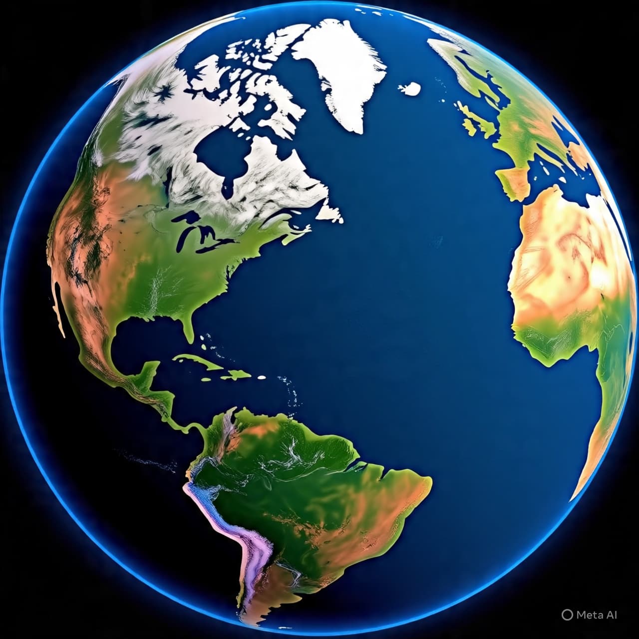
There are moments when a simple photograph becomes more than a frozen frame — a gateway into understanding the living, breathing world beneath it. A grainy image of Earth captured from hundreds of miles above can feel as intimate as a portrait, yet it carries within it layers of data far beyond what the eye first perceives. Landsat 9 is one such lens into our planet: not just a camera in space but a thoughtful sentinel of change and continuity, recording subtle shifts in land, water, ice, and vegetation that help scientists and communities understand the very heartbeat of Earth.
Since its launch in 2021, Landsat 9 — part of a cooperative endeavor between NASA and the U.S. Geological Survey — has continued a tradition stretching back more than half a century, capturing the longest continuous record of the Earth’s surface from orbit. It does this not merely by taking pictures, but by collecting finely calibrated data across multiple wavelengths of light, from visible colors to thermal infrared. This depth of observation allows researchers to study changes in glaciers, water resources, forests, and urban growth with an unprecedented combination of historical context and present‑day clarity.
Imagine a painter not limited to a box of a few crayons, but now gifted a palette with thousands more shades; subtle transitions that once escaped notice — the thinning of ice on a distant glacier, the gradual browning of river deltas, the sprawl of crops and cities — now emerge with detail and distinction. Landsat 9’s enhanced radiometric resolution — a measure of how finely it can distinguish between shades of reflected light — means that variations on Earth’s surface become more discernible, helping scientists track environmental and climatic shifts that matter deeply to ecosystems and human lives alike.
This imagery gains even more power when paired with data from other satellites, such as those operated by the European Space Agency. Together, these platforms weave a richer tapestry of near‑daily global observations, creating a living map of our changing planet. This fusion of perspectives makes it possible to monitor landscapes not only at a particular moment but over time, revealing patterns of change that can inform everything from disaster response to sustainable land use planning.
Landsat 9’s role is particularly important because it preserves continuity with decades of archived data, enabling researchers to compare current conditions with those from years past. Whether tracking the expansion of agricultural lands or the retreat of polar ice, this continuity helps scientists distinguish between normal seasonal variation and long‑term environmental trends. It’s a legacy that began with the first Landsat satellite in the 1970s and continues to evolve with newer technologies and broader scientific ambitions.
The satellite’s contributions also support practical applications at local and global scales: guiding water resource management, informing climate policy, aiding in wildfire monitoring, and helping communities prepare for natural hazards. These uses reflect how remote sensing imagery — data often described as “just pictures” — becomes an invaluable tool for decision makers, researchers, and citizens striving to understand the world’s evolving systems.
In essence, Landsat 9 is more than an orbiting camera; it is a bridge between generations of scientists and the long‑term story of Earth’s landscapes. Its finely captured data serve as both a mirror and a map, reflecting changes unfolding across the globe and guiding the exploration of what lies ahead.
In clear terms, Landsat 9 continues the decades‑long legacy of Earth observation by collecting high‑quality, multi‑spectral data that go beyond simple imagery to support environmental monitoring, scientific research, and practical decision‑making on land, water, and climate issues.
AI Image Disclaimer “Visuals are created with AI tools and are not real photographs, intended for representation only.”
Sources: Phys.org, NASA Science, USGS, NASA SVS, Mirage News.
Published by Banx Network. This article is part of the Banx decentralized media programme, powered by the BXE token on the XRP Ledger.