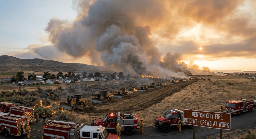
BENTON CITY, Wash. — Fire crews and emergency responders are battling a fast-moving, multi-agency blaze designated as the 2nd Street Fire, which has scorched more than 1,140 acres of dry brush and terrain near Benton City. The rapidly spreading wildfire has triggered emergency Level 3 ("GO NOW") evacuation orders for nearby neighborhoods as crews work around the clock under challenging wind conditions.
The fire ignited in the 11,000 block of NE 2nd Street before heavy wind gusts swept the flames across dry grasslands and brush toward nearby residential areas.
Firefighters faced immediate operational challenges as high winds grounded some aerial support efforts and pushed flames across critical access roads, briefly forcing closures along regional transit corridors including Interstate 82.
"The wind shifts made initial containment extremely difficult," noted local emergency personnel responding to the scene. Ground crews focused early resources on structure defense as flames raced through vulnerable wildland-urban interface zones.
Benton County Emergency Services issued mandatory Level 3: GO NOW evacuation notices for multiple communities. Residents in affected subdivisions were advised to pack essential belongings and leave immediately due to the imminent threat.
Mandatory Level 3 "GO NOW" evacuation orders have been issued for residents along North Valley Drive Way and Pear Drive—including Apple, Cherry, Berry, and Plum Drives—as well as the Kiona Village Mobile Home Park. Emergency evacuation zones have also expanded southeast of SR-224, southwest of Keene Road, and north of Kennedy Road. To support fleeing residents, official shelters are open at Ki-Be High School, located at 1205 Horne Drive in Benton City, and at Central Church, operated by the American Red Cross at 1124 Stevens Drive in Richland.
Officials cautioned that emergency personnel may be unable to assist those who choose to remain in Level 3 zones during active fire threats.
Multi-agency strikes teams—including regional fire districts, state wildland firefighters, and aerial water-drop crews—continue line-construction and containment operations. At least one primary structure and several outbuildings have been damaged or destroyed as damage assessment teams evaluate the perimeter.
Containment updates and official evacuation maps are being refreshed continuously via Benton County Emergency Services.
Published by Banx Network. This article is part of the Banx decentralized media programme, powered by the BXE token on the XRP Ledger.