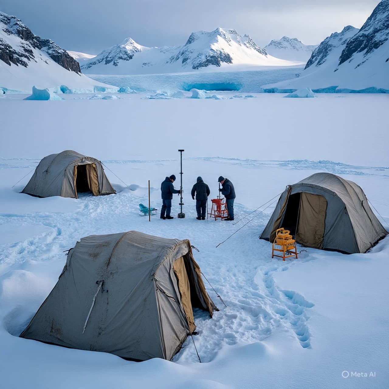
Far out in the white silence of West Antarctica, where the horizon dissolves into ice and wind, scientists have been working at the edge of one of Earth’s most consequential landscapes. The glacier beneath their feet stretches for hundreds of kilometers, a frozen river slowly sliding toward the sea. Its name—Thwaites Glacier—has become familiar to climate scientists around the world, not because it is easily studied, but because so much about the planet’s future coastlines may depend on what happens there.
Reaching the glacier itself is an expedition in patience and logistics. Teams of researchers from organizations such as the British Antarctic Survey and the Korea Polar Research Institute have flown helicopters over vast crevassed ice fields to establish temporary camps. From these remote outposts, engineers assemble an intricate system of hoses, heaters, pumps, and drilling rigs—equipment designed for a single purpose: to cut a narrow shaft nearly a kilometer down through solid Antarctic ice.
The method is as dramatic as the setting. Using water heated to around 80°C, scientists direct powerful jets downward, slowly melting a borehole through ice that in places is more than 1,000 meters thick. The hole itself is surprisingly small—about 30 centimeters wide—but it provides a rare gateway to a hidden world beneath the glacier.
What lies below has long been one of polar science’s greatest mysteries. The base of Thwaites Glacier sits where the ice sheet meets the ocean, a region known as the grounding zone. Here, warm seawater can flow beneath the ice, eroding it from below. Scientists believe this interaction between ocean currents and ice is one of the main forces accelerating the glacier’s retreat.
Through the drilled boreholes, researchers lower sophisticated instruments and robotic vehicles. One such robot, designed to navigate under the ice shelf, carries cameras and sensors that measure water temperature, currents, and the shape of the ice ceiling above. The data collected from these missions offers the first direct observations of conditions beneath the glacier’s main trunk—information satellites cannot easily provide.
The stakes of the research are immense. Often referred to as the “Doomsday Glacier,” Thwaites Glacier is roughly the size of the United Kingdom. If it were to collapse completely, scientists estimate it could raise global sea levels by more than half a meter, with additional consequences if surrounding Antarctic ice begins to destabilize.
Yet conducting research in this frozen frontier is rarely straightforward. The glacier moves, the weather shifts abruptly, and equipment can freeze or become trapped within the ice. On recent expeditions, some instruments intended for long-term monitoring were lost when deployment systems became stuck in the borehole, forcing scientists to abandon part of the mission earlier than planned.
Even partial success, however, can yield valuable insights. Measurements collected during these drilling campaigns have revealed turbulent ocean currents and relatively warm water circulating beneath the ice shelf—conditions that may accelerate melting from below.
For researchers camped in the vast silence of Antarctica, the work often feels like opening a small window into a hidden system that influences coastlines thousands of kilometers away. Each drilled hole, each instrument lowered beneath the ice, brings a clearer understanding of how the glacier behaves—and how quickly the world’s oceans may respond.
Above the glacier, the Antarctic wind continues to sweep across a landscape that appears unchanged. But far below the surface, in dark water beneath a kilometer of ice, scientists are discovering a story of movement and transformation that could shape the future of the world’s shorelines.
Published by Banx Network. This article is part of the Banx decentralized media programme, powered by the BXE token on the XRP Ledger.