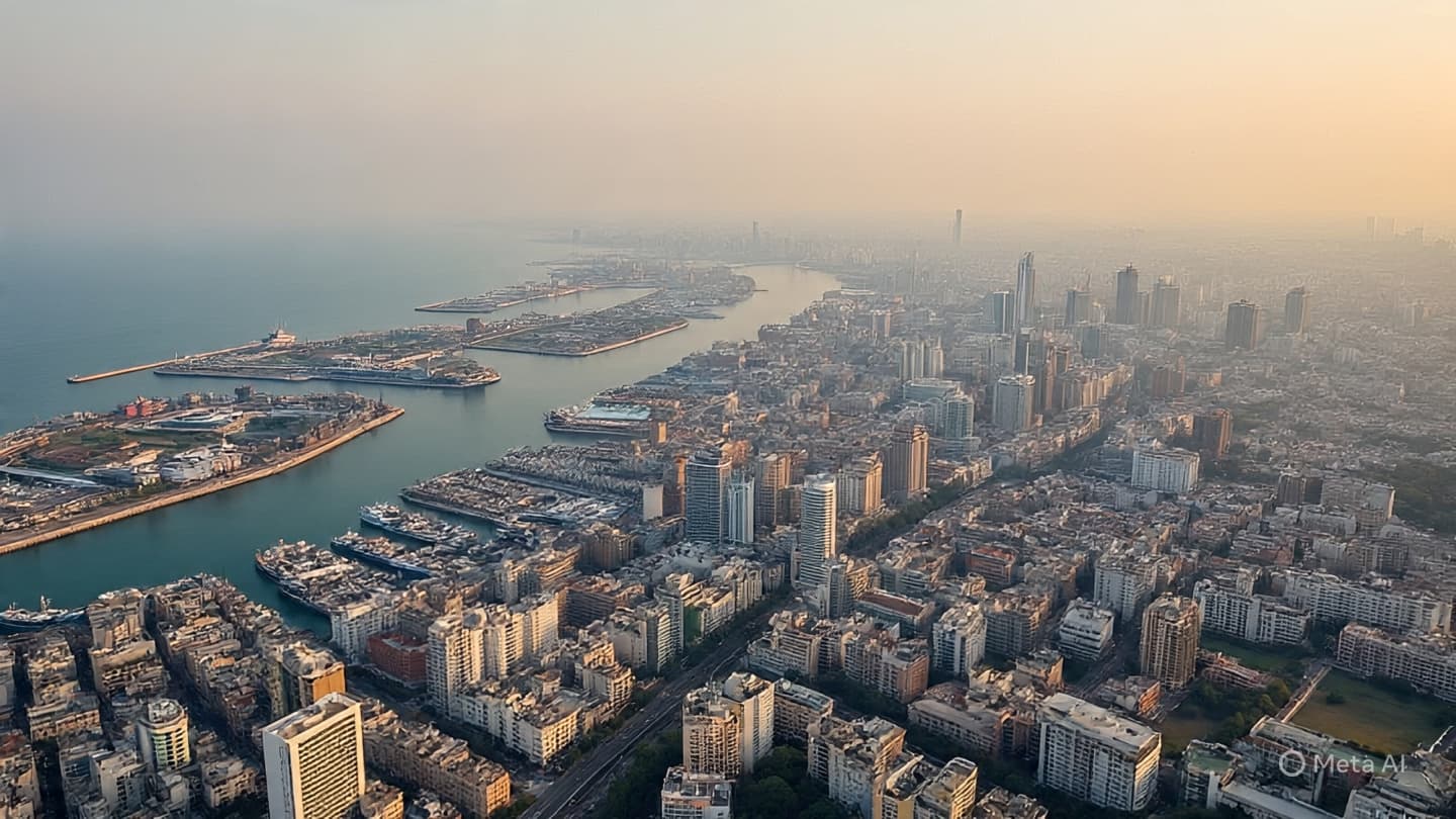
There are places where the land is no longer read from the ground alone, but from above—where meaning is traced through patterns visible only to orbiting eyes. In such spaces, the landscape becomes layered: what is built, what is removed, and what is quietly reshaped over time.
Recent satellite imagery has indicated the expansion of Israeli military infrastructure within parts of Gaza, showing alterations in site layouts and the development of additional operational structures. The observations, derived from comparative analysis of successive images, point to changes in areas already associated with ongoing military activity in the region.
These visual records, captured by commercial and institutional satellites, allow analysts to track shifts that are otherwise difficult to observe on the ground due to restricted access and active conflict conditions. In this case, the imagery has been interpreted as showing increased spatial footprint and infrastructural development at several military-adjacent locations.
The Gaza Strip, a densely populated coastal enclave along the Mediterranean, has been at the center of sustained military operations and political tension for decades. Within such an environment, infrastructure is rarely static. Roads, buildings, and operational sites often change in response to shifting security conditions, strategic priorities, and the evolving tempo of conflict.
Satellite analysis has become a central tool in understanding these developments. Organizations specializing in geospatial intelligence regularly examine high-resolution images to identify construction, damage, or movement patterns. These interpretations are often used to supplement reporting from the ground, particularly in areas where direct access is limited or dangerous.
In the case of the recently observed changes, analysts note that expansion in military-related infrastructure can include a range of activities—from the construction of additional facilities and fortifications to the reorganization of existing operational zones. Each alteration contributes to a broader spatial configuration that reflects ongoing military posture and preparedness.
At ground level, however, these changes are not seen as images but as lived reality. In Gaza, space is tightly interwoven with daily life, and shifts in land use or infrastructure can have immediate implications for civilian movement, access, and security. The distance between satellite observation and street-level experience is therefore both technological and human.
International observers and humanitarian organizations continue to monitor developments in the region closely, emphasizing the importance of understanding how changes in infrastructure intersect with broader conditions on the ground. In conflict zones, even small adjustments to military layouts can influence patterns of displacement, access to services, and the stability of surrounding areas.
Israeli authorities have not publicly detailed specific interpretations of the satellite findings referenced in external analyses, and such imagery is often subject to differing assessments depending on analytical frameworks and available contextual information.
What remains consistent, however, is the role of elevation in how modern conflict is seen. From satellites in orbit, the earth is rendered in grids and outlines. From the ground, it is experienced in streets, walls, and the shifting boundaries of daily life. Between these two perspectives, understanding is assembled in fragments.
As new images are captured and compared over time, they will continue to shape how observers read the evolving geography of Gaza. Each frame becomes part of a larger sequence, documenting not only what is built, but how space itself is continually rewritten.
And so the view from above persists—quiet, continuous, and distant—offering a version of the landscape that is precise in form, yet always separated from the immediacy of life beneath it.
AI Image Disclaimer Visuals are AI-generated and serve as conceptual representations rather than real-world photographs.
Sources Reuters, Associated Press, BBC News, Al Jazeera, The Guardian
Published by Banx Network. This article is part of the Banx decentralized media programme, powered by the BXE token on the XRP Ledger.