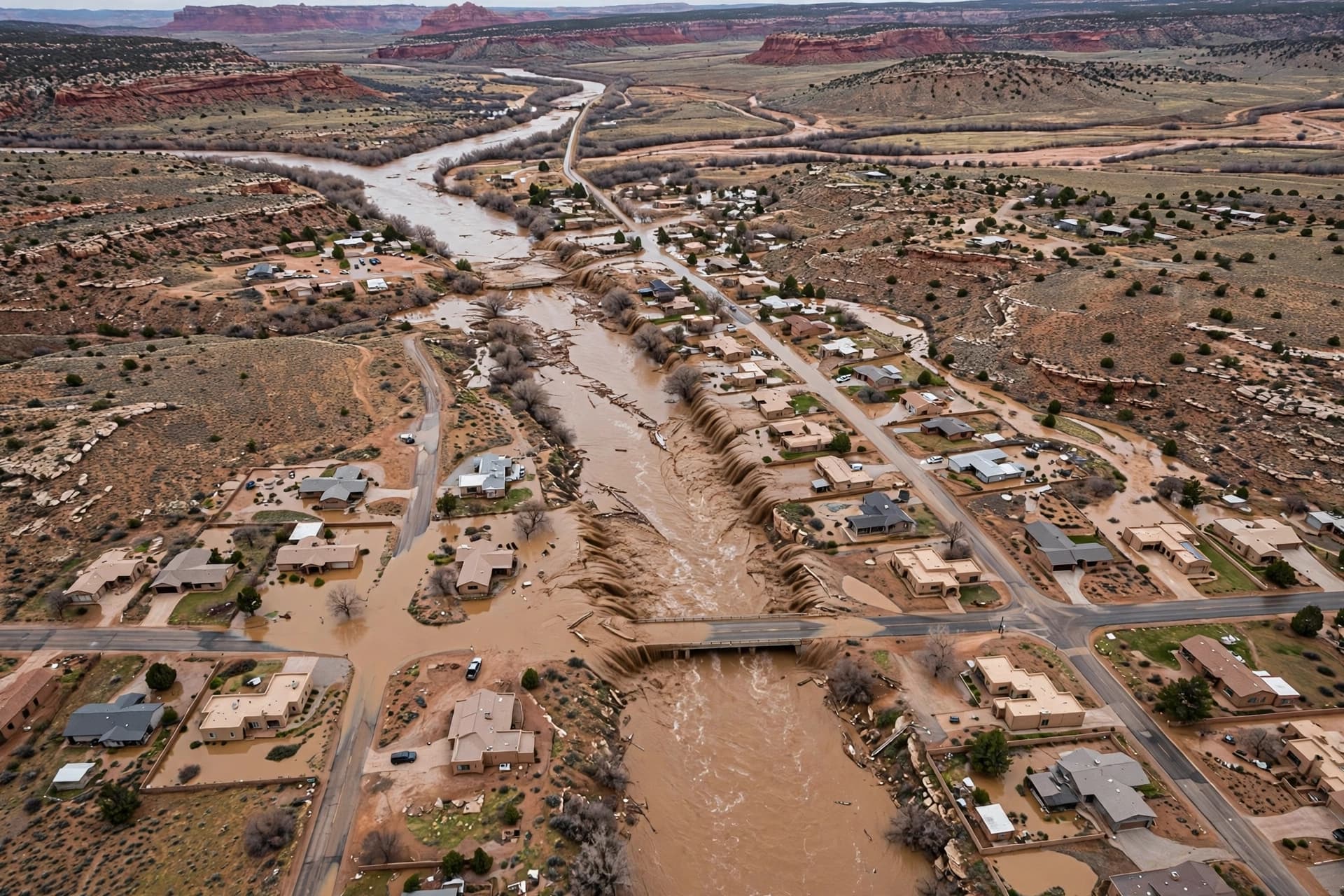
There are floods that arrive as a inconvenience, water pooling in low spots and receding by afternoon. And there are floods that arrive as a reckoning, a river that has been held back for decades suddenly deciding to reclaim what it once covered. The flooding in northern New Mexico this week belongs to the second category. The National Weather Service used a word it does not use lightly: catastrophic. The San Juan River at Farmington reached 14.07 feet, breaking a record that had stood since before the Navajo Dam was completed in 1962. Downstream at Shiprock, the river was forecast to crest near 23.47 feet, nearly three feet above major flood stage .
The scope of the disaster is still coming into focus. Some 600 households in Farmington were told to evacuate. Rescues continued through Friday by boat, helicopter, and amphibious vehicle. San Juan County spokesman Devin Neeley said crews were "picking people off of roofs and pulling people out of houses that have 3 or 4 feet of water in them" . The county's emergency management office urged residents in Wildhorse Valley, Lee Acres, Bloomfield, and along the Animas River to leave, warning that rivers were still rising and that floodwaters should be considered contaminated with sewage after the Bloomfield treatment plant was impacted .
The flooding follows a week of extreme weather across the Four Corners region. Rain swamped dozens of homes in Utah. Tornadoes in Arizona blew off roofs and downed power lines . The ground in northern New Mexico was already saturated when the latest round of rain arrived, and the rivers—the San Juan, the Animas, the La Plata—rose faster than forecasters had anticipated. The National Weather Service issued flood warnings for multiple waterways, noting that the current extent of flooding along the San Juan had not been observed since before the dam's completion .
For the Navajo Nation, downstream of Farmington, the threat was still building. Deputy Police Chief Donnie Kee urged residents to prepare: "Do not wait to make your evacuations. Make your preparations for yourselves, your families, as well as your animals" . The Nation's vast territory, already underserved by infrastructure, faced the prospect of floodwaters peaking late Friday or early Saturday, testing a response system that has been stretched by years of underfunding.
The human toll is not yet fully known. No deaths had been confirmed as of Friday evening, but the rescues were ongoing, and the water had not begun to recede. The sheriff of San Juan County was among those who stood to lose his home, a detail that Neeley offered not for sympathy but to illustrate the scale of the event: even those charged with responding were not immune . Schools were closed. Roads were impassable. A shelter at McGee Park welcomed evacuees, their pets, and their RVs, a small gathering point in a landscape that had become unrecognizable.
The forecast offered a measure of hope. Conditions were expected to gradually improve by Monday, according to the National Weather Service . But the rivers would continue to rise before they fell, and the damage—to homes, to roads, to the sewage plant, to the sense of security that comes from living in a place where water has always been scarce—would take far longer to assess. The high desert is not built for floods. It is built for dryness, for the assumption that water will stay where it is put. This week, that assumption failed.
Live coverage of the flooding continues as emergency crews work to reach those still stranded and officials assess the extent of the damage across San Juan County and the Navajo Nation.
AI Image Disclaimer: All visuals in this article were generated by artificial intelligence and are for illustrative purposes only.
Sources: National Weather Service, Associated Press, Santa Fe New Mexican, NewsBreak, KOB
Published by Banx Network. This article is part of the Banx decentralized media programme, powered by the BXE token on the XRP Ledger.