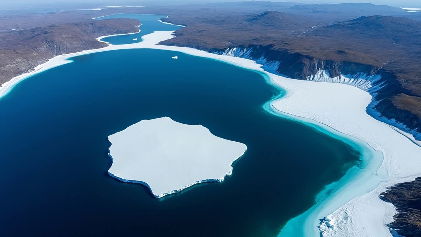
From the vantage point of space, Earth reveals its vulnerabilities in stark, silent detail. A recent satellite image captured on August 24, 2026, shows a dramatic event in Greenland: the most significant loss of floating ice in over ten years. This visual record is not just a photograph but a data point in the ongoing narrative of climate change, offering a sobering glimpse into the rapid transformations occurring in the polar regions.
The image, released as part of the "Space Photo of the Day" series, highlights a massive calving event where a large section of floating ice broke away from the main ice shelf. Such events are natural parts of the glacial cycle, but the scale and frequency of recent losses have raised concerns among scientists. The detachment of this ice mass, which covers several square kilometers, contributes to rising sea levels and alters local ocean currents.
Greenland’s ice sheet holds enough water to raise global sea levels by several meters if fully melted. While floating ice does not directly raise sea levels upon melting, its loss can accelerate the flow of land-based glaciers into the ocean. This dynamic process, known as the "buttressing effect," means that the removal of floating ice can destabilize inland ice, leading to further and faster discharge into the sea.
Climate scientists monitor these changes using a combination of satellite imagery, aerial surveys, and ground-based measurements. The data collected helps refine models predicting future sea-level rise and informs policy decisions related to coastal protection and adaptation. The August 2026 event provides valuable insights into the mechanisms driving ice loss and the sensitivity of Greenland’s glaciers to warming temperatures.
The visual impact of the satellite photo is profound. It shows the stark contrast between the white ice and the dark ocean, emphasizing the fragility of the polar environment. For the general public, such images serve as powerful reminders of the reality of climate change, making abstract concepts tangible and urgent. They inspire both concern and a desire for action.
Local communities in Greenland are also affected by these changes. Shifts in ice cover can impact fishing patterns, transportation routes, and traditional ways of life. While the immediate effects may seem distant to those far from the poles, the long-term implications are global. Rising seas threaten coastal cities worldwide, making the preservation of polar ice a shared international priority.
Efforts to mitigate climate change continue, with nations committing to reduce greenhouse gas emissions and invest in renewable energy. However, the pace of ice loss suggests that more aggressive action may be needed. The satellite image serves as a call to accelerate these efforts, reminding us that time is a critical factor in preserving the stability of our planet’s cryosphere.
The satellite’s view of Greenland’s ice loss is a poignant reminder of the Earth’s changing climate. It underscores the importance of continued monitoring, scientific research, and global cooperation to address the challenges of a warming world.
AI Image Disclaimer: Visuals associated with this article are AI-generated interpretations designed to reflect the urgency and scale of the public safety concern.
Sources: NASA Earth Observatory, European Space Agency, National Snow and Ice Data Center
Published by Banx Network. This article is part of the Banx decentralized media programme, powered by the BXE token on the XRP Ledger.