Maps have a way of revealing what rhetoric obscures. When Greenland is flattened onto paper, stretched or shrunk by projection, its silence gives way to meaning. Lines, distances, and currents explain what speeches cannot: why a place so sparsely populated carries such strategic weight.
Viewed from above, Greenland sits less at the edge of the world than at its hinge. It bridges North America and Europe, anchoring the northern Atlantic while opening onto the Arctic Ocean. In geopolitical terms, it is not remote but central, positioned along routes that have long mattered to militaries and are beginning to matter again to commerce.
One map traces air and missile paths. From Greenland’s northern reaches, early-warning systems can scan vast arcs of sky, watching the approaches to North America. This is not new. During the Cold War, radar installations on the island formed part of a defensive lattice designed to detect threats over the pole. That lattice still exists, modernized rather than dismantled.
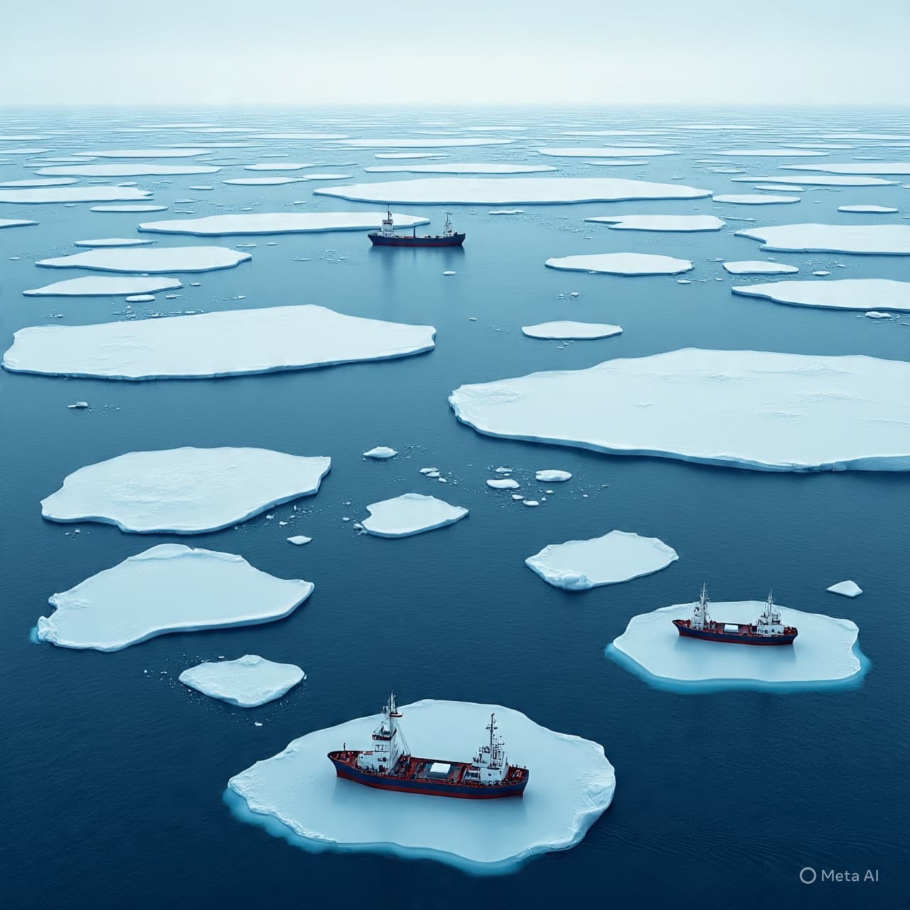
Another map follows the sea. As ice retreats, Arctic shipping routes that once belonged to speculation now inch toward practicality. The Northwest Passage and nearby corridors promise shorter journeys between Asia, Europe, and the Americas. Greenland’s coastline, long frozen into irrelevance, now flanks pathways that could reshape global trade flows.
A third map descends below the surface. Geological surveys suggest Greenland holds significant deposits of rare earth elements and other critical minerals. These materials sit at the heart of modern economies, powering everything from renewable energy systems to advanced weapons. Control over supply chains, rather than territory itself, has become the new measure of influence.
Defense maps add further layers. Greenland hosts the northernmost U.S. military base, a quiet presence that ties the island into NATO’s security architecture. From here, surveillance extends across the Arctic, a region where Russian military activity has intensified and Chinese interest has grown more deliberate.
Political maps complicate the picture. Greenland is part of the Kingdom of Denmark, yet it governs many of its own affairs and has steadily expanded its autonomy. Any external interest must navigate not only Copenhagen’s authority but Nuuk’s aspirations, making influence more complex than acquisition.
Economic maps tell a slower story. Greenland’s small population and fragile infrastructure limit rapid development, ensuring that strategic interest unfolds over decades rather than quarters. This long horizon is precisely what attracts attention from leaders who think in terms of positioning rather than immediate return.
Taken together, these maps explain why Donald Trump has repeatedly returned to Greenland in his rhetoric. The island represents convergence: of defense and resources, of old Cold War logic and new climate realities, of sovereignty and strategic presence. It is less an object of desire than a node of consequence.
Greenland itself remains unchanged by these projections, its ice indifferent to interpretation. But maps remind observers that geography endures even as politics cycles. Long after speeches fade, the island will still sit where it always has—quiet, immense, and strategically unavoidable.
AI Image Disclaimer Visuals are AI-generated and serve as conceptual representations.
Sources (names only) Reuters Financial Times Bloomberg Al Jazeera The Economist
Published by Banx Network. This article is part of the Banx decentralized media programme, powered by the BXE token on the XRP Ledger.