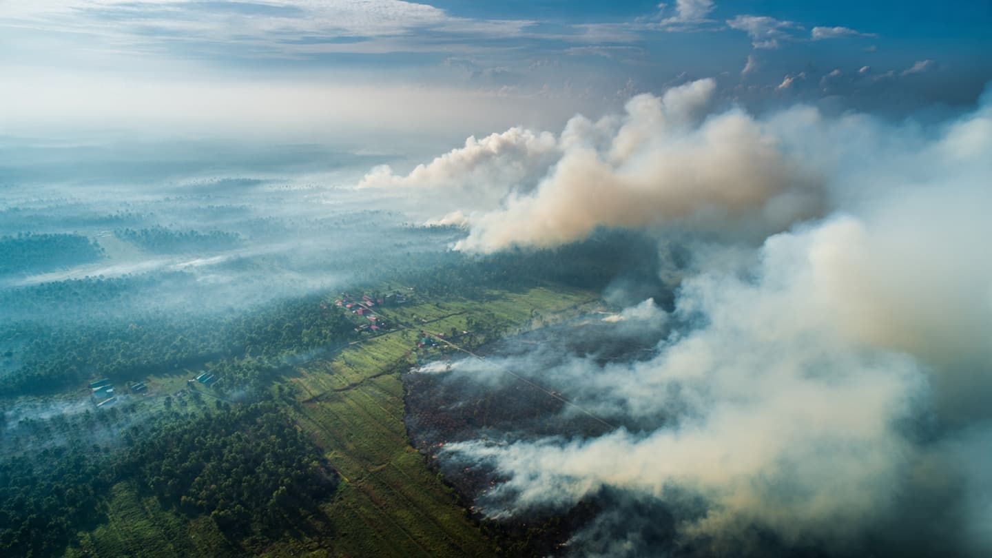
In the landscape of Sumatra and Kalimantan, the dry season has begun to leave a different kind of mark. Beyond fields, plantations, and forest edges, smoke has become a recurring presence, moving with the wind and settling over communities. Against that backdrop, Indonesian authorities are examining 19 companies whose concession areas have been linked to fires.
The inspections come as the country faces weeks of wildfires during a particularly severe dry period. Satellite imagery identified 42 companies whose concessions were considered to have a high potential for wildfire, while fires covering a combined 11,047 hectares were found within areas managed by 19 companies.
The figure offers a sense of the scale involved. The affected area is roughly equivalent to nearly twice the size of Manhattan, stretching across seven provinces. From above, satellite images have provided authorities with a broader view of how individual fires connect to a much larger seasonal pattern.
For Indonesia, monitoring fires across such a wide geography is a demanding task. Sumatra and Kalimantan contain large stretches of plantation land, forests, peatlands, and rural communities, creating a landscape where fire can move quickly when dry conditions persist.
Officials have said the fires are being assessed to determine whether they were intentional or accidental. The inspections therefore form part of a wider effort to understand what is happening inside concession areas rather than simply tracking the smoke once it has already crossed into surrounding land.
The environmental dimension is also significant. Smoke from large fires can travel far beyond the original burning areas, affecting visibility and air quality. Reuters reported that the haze has raised concerns about respiratory health as well as risks to Indonesia's orangutan population.
The scale of the response has grown alongside the fires. Authorities have deployed tens of thousands of personnel, while aerial water-bombing operations have been used in several provinces. Foreign aircraft have also been permitted to assist with firefighting efforts as conditions become more difficult.
Satellite monitoring has meanwhile offered another measure of the season's intensity. Data from the European Union's Copernicus service indicated that carbon emissions from the fires had reached 17.1 million metric tons during the reported week, placing Indonesia among the countries recording the highest fire-related emissions during that period.
For the companies being inspected, the process places their concession areas under closer scrutiny while authorities work to establish the circumstances surrounding the fires. For the wider country, the inspections are another part of a long seasonal effort that begins with dry weather and can end with smoke traveling far beyond the places where flames first appeared.
AI Image Disclaimer: This article was written from verified reporting, while the accompanying illustration prompts are intended for AI-generated visual representation and may not depict an exact real-world location.
Sources: Reuters Copernicus Indonesia Ministry of Environment
Published by Banx Network. This article is part of the Banx decentralized media programme, powered by the BXE token on the XRP Ledger.