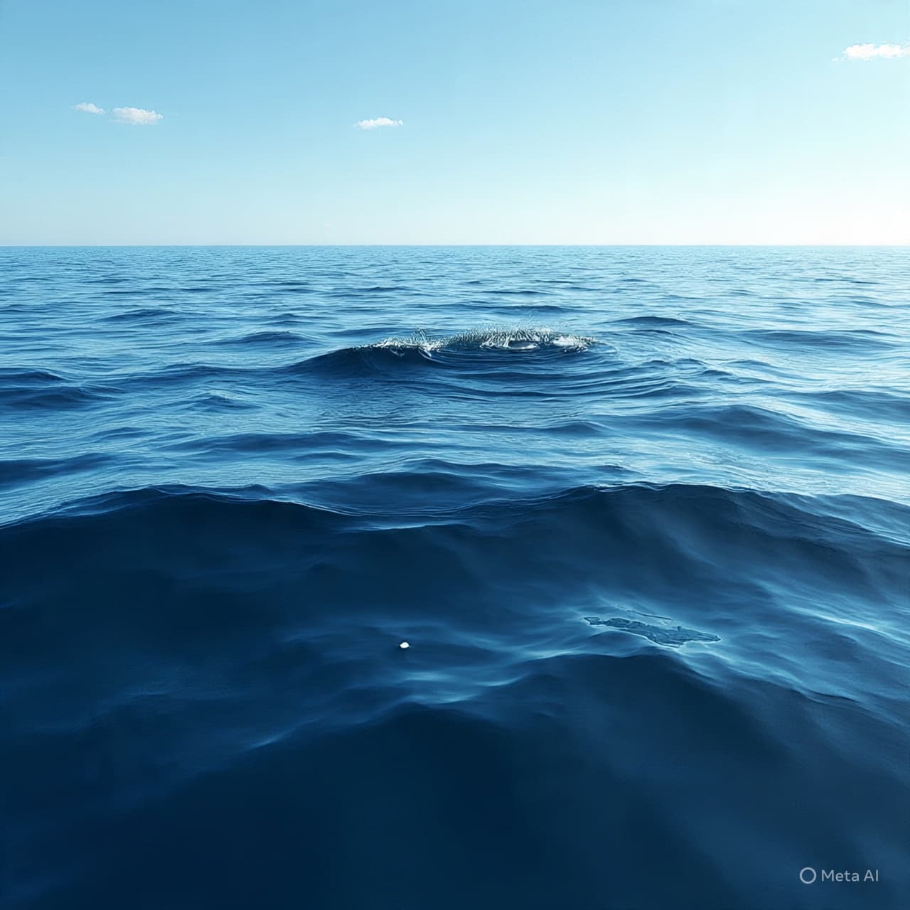
There is a moment, often unseen, when the ocean begins to change. It does not rise all at once, nor does it announce itself with immediate force. Far from shore, in waters that appear undisturbed, a shift begins—subtle, measured, and almost silent.
For generations, this beginning has been difficult to observe directly. The formation of a tsunami occurs across vast distances, its earliest stages spread thinly across the open ocean. By the time the wave reaches land and becomes visible in its full height, its origin has already passed.
Now, through the vantage of satellite remote sensing, researchers are beginning to trace these early moments with greater clarity. Satellites, orbiting high above the Earth, can detect slight variations in sea surface height—changes so small they might otherwise go unnoticed.
These measurements reveal the initial displacement of water that follows events such as undersea earthquakes or landslides. The movement is not dramatic at first; the ocean surface may rise or fall by only a few centimeters. Yet across hundreds of kilometers, this shift forms a wave that carries immense energy.
The advantage of satellite observation lies in its scale. While ocean buoys and coastal instruments provide localized data, satellites offer a broader view, capturing the spread of the wave as it moves outward from its source. This allows scientists to follow not just the presence of a tsunami, but its shape, speed, and direction in near real time.
Within the study of oceanography, this perspective adds a new layer of understanding. It connects the initial disturbance to the wave’s later impact, offering insight into how energy travels through the ocean and how different factors—depth, seafloor structure, and coastline geometry—affect its behavior.
There is also a practical dimension to this work. Early detection and accurate modeling are central to tsunami warning systems. By incorporating satellite data, researchers can refine predictions, improving estimates of when and where a wave may arrive and how large it may become.
The ocean, however, does not yield its patterns easily. Each event differs, shaped by the specific conditions in which it occurs. Satellite observations do not remove uncertainty, but they reduce it—providing more information where there was once less.
There is something quiet in this shift of perspective. The wave, once understood mainly at its end, is now being observed at its beginning. The distance between cause and effect grows shorter, not in time, but in understanding.
Scientists report that satellite observations are offering new insights into how tsunamis form and propagate, allowing for more detailed tracking of sea surface changes and improving early warning capabilities.
AI Image Disclaimer
Illustrations were created using AI tools and are not real satellite images.
Sources
Nature Science NASA National Oceanic and Atmospheric Administration New Scientist
Published by Banx Network. This article is part of the Banx decentralized media programme, powered by the BXE token on the XRP Ledger.