Forests often change quietly. A single tree losing its leaves may appear like a small event on the ground, but across thousands of acres, these changes can become signals of a larger ecological story. Today, satellites orbiting high above Earth are helping scientists read those signals, offering a new perspective on how forests respond to insect outbreaks.
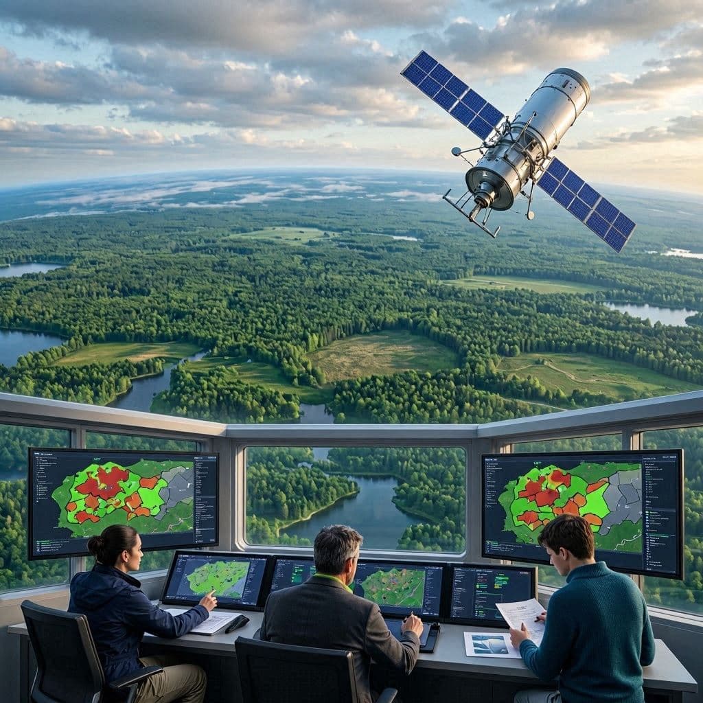
Researchers have increasingly used satellite imagery to observe damage caused by moth species such as the spongy moth, an insect capable of widespread defoliation in hardwood forests. Programs using data from satellites such as NASA and the U.S. Geological Survey’s Landsat have helped scientists track changes in forest health over large areas.
The value of satellite monitoring lies in its ability to see patterns that are difficult to recognize from the ground. When moth populations grow rapidly, caterpillars can consume large amounts of foliage, causing sections of forests to appear different in satellite images. These changes allow researchers and land managers to identify affected regions and better understand the scale of an outbreak.
Traditional forest surveys have often relied on field inspections and aerial observations, methods that can require significant time and resources. Satellite technology adds another layer of awareness by providing repeated views of the same landscapes, allowing scientists to compare forest conditions across seasons and years.
The information gathered from space does not replace the work of forest experts on the ground. Instead, it acts as a wider lens, helping researchers decide where closer investigation may be needed. By combining satellite observations with field studies, scientists can build a clearer picture of how insects, weather conditions, and forest ecosystems interact.
Moth outbreaks are part of the natural cycles that shape forests, but repeated or severe defoliation can place stress on trees. Healthy trees may recover after losing leaves, while continued attacks over multiple years can increase the risk of long-term damage. Satellite monitoring helps provide early information that supports forest management decisions.
Beyond protecting individual forests, these technologies represent a broader shift in environmental science. Space-based observations are becoming valuable tools for understanding changes across the planet, from forests and agriculture to climate-related impacts. The view from above offers a reminder that even distant technology can help care for landscapes close to home.
As forests face evolving challenges, satellite imagery provides scientists with a quiet but powerful way to observe nature’s changes. The technology does not prevent every threat, but it helps communities recognize problems sooner and respond with greater understanding.
AI Image Disclaimer: The images accompanying this article are AI-generated illustrations created to represent satellite forest monitoring and moth outbreak research. They are conceptual visuals, not real satellite images of a specific outbreak.
Sources:
NASA Science U.S. Geological Survey (USGS) NASA Earth Observatory U.S. Forest Service Research and Development
Published by Banx Network. This article is part of the Banx decentralized media programme, powered by the BXE token on the XRP Ledger.