When a volcano erupts, the ash it throws into the sky does not simply disappear. It drifts, carried by winds across continents and oceans, a hazard invisible to the eye but capable of choking jet engines and endangering the people inside them. For decades, aviation authorities have relied on models and scattered ground observations to predict where volcanic ash will travel. The models are good, but the atmosphere is complex, and the stakes are high. Now, a satellite designed to study clouds and aerosols has offered a new kind of clarity.
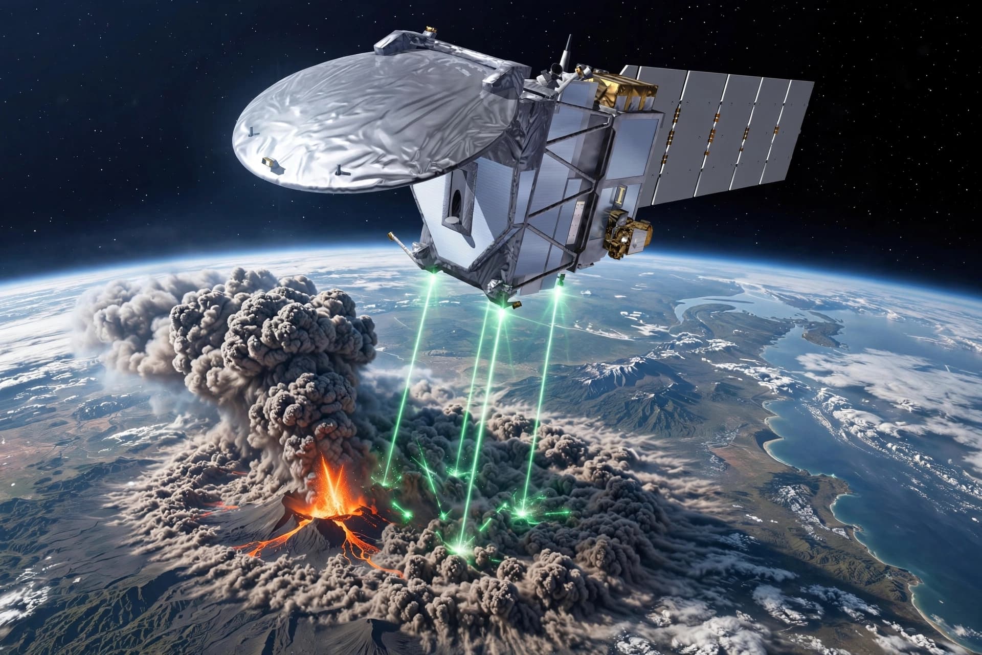
The European Space Agency's EarthCARE satellite, launched in 2024, was built primarily to advance understanding of how clouds and aerosols influence Earth's climate. When Anak Krakatau erupted a few weeks ago, EarthCARE was orbiting above, and its instruments captured vertical profiles of the different constituents within the volcanic plume . This was not the satellite's primary mission, but it was a valuable demonstration of what it could do: provide detailed, three-dimensional information about where ash and gas are distributed in the atmosphere.
The data EarthCARE collected is relevant to aviation safety because ash dispersion models need accurate inputs to produce useful forecasts. If the models do not know how high the ash has risen or how concentrated it is at different altitudes, the predictions they generate will be less reliable. The satellite's lidar instrument, called ATLID, is capable of detecting faint aerosol layers—including volcanic ash—at resolutions that can distinguish between different atmospheric layers . Research using ATLID data has shown that it can detect thin aerosol layers that other instruments might miss, which is precisely the kind of sensitivity needed for tracking volcanic plumes .
The observations also contribute to climate science. Volcanic eruptions inject sulfur dioxide and other gases into the stratosphere, where they can form sulfate aerosols that reflect sunlight and temporarily cool the planet. The magnitude of that cooling depends on how much material reaches the stratosphere, how long it stays there, and how it is distributed. EarthCARE's vertical profiles provide exactly that kind of information, helping scientists understand the climate impact of individual eruptions and refining the models used to predict future effects .
The collaboration behind this work is international. EarthCARE is a joint mission between the European Space Agency and the Japan Aerospace Exploration Agency, with contributions from European industry and research institutions . Researchers in Japan have been working on validating the satellite's lidar observations using ground-based instruments, part of an effort to ensure that the data is accurate and reliable for operational use . The goal is not just to study past eruptions but to build a system that can respond quickly when the next one occurs.
Anak Krakatau, the "child of Krakatoa," is one of the most active volcanoes in Indonesia, and its eruptions are frequent. Each one provides an opportunity to test and refine the tools used to monitor volcanic ash. The EarthCARE observations from this eruption will be analyzed, compared with models, and used to improve the systems that keep aircraft and passengers safe. It is a quiet kind of progress, measured in data points and algorithm updates rather than dramatic discoveries.
The work continues. EarthCARE will keep orbiting, watching the atmosphere for clouds, aerosols, and the occasional volcanic plume. The information it gathers will feed into models, inform forecasts, and help pilots and airlines make decisions about where it is safe to fly. The sky is not empty, and now we can see it a little more clearly.
---
AI Image Disclaimer: All images accompanying this report are AI-generated and do not depict actual satellite data or volcanic events.
Sources: European Space Agency, Copernicus, KAKEN, JAXA
Published by Banx Network. This article is part of the Banx decentralized media programme, powered by the BXE token on the XRP Ledger.