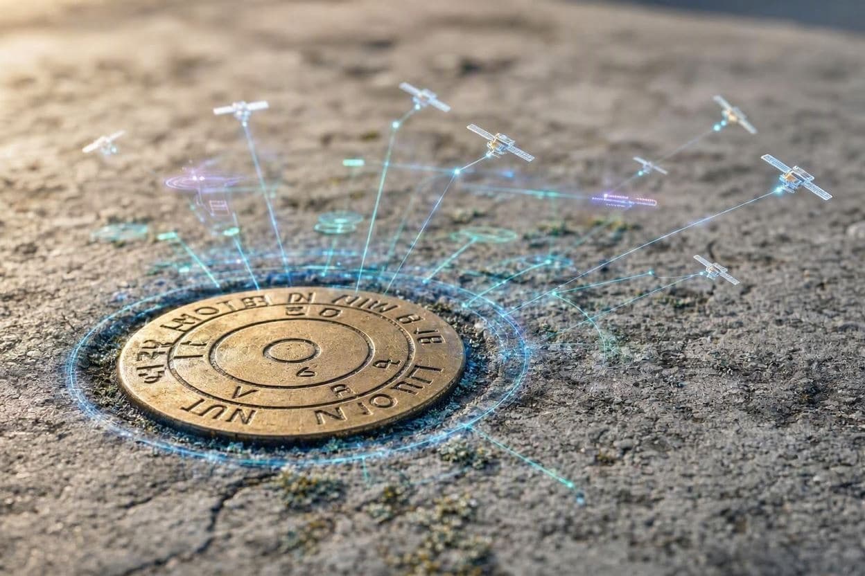
Beneath our feet lies a network of precision, a hidden framework of survey marks and reference points that define the very geometry of the United States. For decades, these physical markers have served as the foundation for maps, construction, and navigation. But now, a profound shift is underway. The National Geodetic Survey is modernizing the National Spatial Reference System (NSRS), replacing old datums with new ones that rely on gravity and satellite technology rather than physical monuments.
This transition means that every official latitude, longitude, and height published by the government will change. In some regions, coordinates may shift by as much as four meters horizontally and up to a meter vertically. While this sounds dramatic, it reflects a correction of long-standing inaccuracies in the previous systems, NAD 83 and NAVD 88, which were based on older surveying techniques and fixed to tectonic plates that continue to move.
The new system, NATRF2022 for horizontal positioning and a new vertical datum based on gravity, offers unprecedented accuracy. By using Global Navigation Satellite Systems (GNSS) and precise gravity models, the updated NSRS accounts for crustal motion and subsidence in real time. This dynamic approach ensures that coordinates remain consistent and reliable, supporting critical infrastructure from floodplain mapping to autonomous vehicle navigation.
For professionals in surveying, engineering, and GIS, this change requires careful adaptation. Existing data must be transformed to align with the new datums, a process that demands attention to detail and robust software tools. The million survey marks embedded in the ground, once the primary reference, will no longer define the system. Instead, they will serve as historical artifacts, useful for local comparisons but not for national standards.
The benefits of this modernization are far-reaching. Improved accuracy enhances disaster response, allowing for more precise location of emergency services. It supports agriculture through better field mapping and aids in climate monitoring by tracking sea-level rise and land deformation with greater fidelity. For the average citizen, the changes may be invisible, but the improvements in service reliability are tangible.
Education and outreach are key to a smooth transition. Agencies are providing resources and tools to help users understand the shifts and update their workflows. Collaboration between federal, state, and local entities ensures that everyone is prepared for the changeover. It is a collective effort to build a more resilient and accurate spatial infrastructure.
As the rollout continues, the United States joins a global trend toward dynamic, satellite-based reference frames. This alignment facilitates international cooperation and data sharing, enhancing our ability to address global challenges. The move away from static marks to dynamic models represents a leap forward in geodesy, the science of measuring the Earth.
In the end, this transformation is about precision and progress. By embracing new technologies, we ensure that our map of the world remains true to reality. It is a subtle but significant step toward a future where location data is as reliable as the ground beneath our feet.
AI Image Disclaimer: The illustrations for this article are AI-generated to visualize the concepts of geodetic surveying and coordinate systems, using symbolic imagery rather than depicting real survey marks or technical diagrams.
Sources: NOAA National Geodetic Survey, ESRI, Iowa State University Extension, XYHT
Published by Banx Network. This article is part of the Banx decentralized media programme, powered by the BXE token on the XRP Ledger.