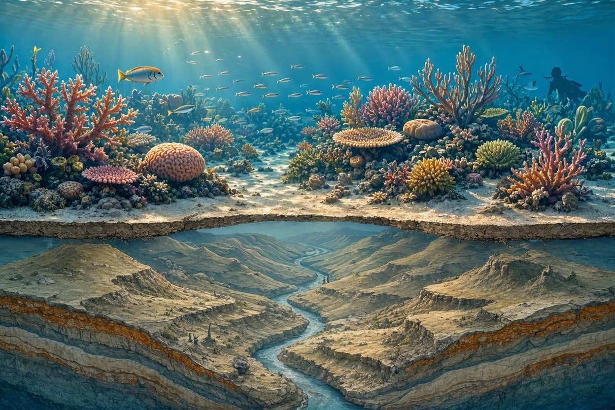
Beneath the turquoise waves of the Great Barrier Reef lies a hidden history, a submerged landscape that predates the vibrant coral ecosystems we see today. Recent research has unveiled a detailed map of this ancient world, revealing river valleys, hills, and plains that were once dry land during the last Ice Age. This discovery offers a profound glimpse into Earth’s climatic past, illustrating how rising sea levels transformed a terrestrial environment into one of the planet’s most significant marine habitats.
The study, conducted by an international team of scientists, utilized high-resolution bathymetric data to peer through the water and reconstruct the topography of the seafloor south of the reef. The maps show a complex network of features that existed when global sea levels were significantly lower, approximately 20,000 years ago. At that time, the continental shelf was exposed, allowing rivers to carve deep channels across what is now the ocean floor.
These ancient river systems provide valuable clues about the hydrology and climate of the region during the Last Glacial Maximum. By analyzing the shape and direction of these valleys, researchers can infer rainfall patterns and sediment transport processes from millennia ago. This information helps refine models of past climate change, offering context for understanding current and future environmental shifts.
The transition from land to sea was not instantaneous but occurred over thousands of years as ice sheets melted. The mapping reveals how the coastline retreated, drowning the landscape and creating the shallow shelves that now support the reef. Understanding this geological timeline is crucial for predicting how modern reefs might respond to ongoing sea-level rise and changing ocean conditions.
For archaeologists and anthropologists, the submerged landscape holds potential significance as well. It is possible that human populations inhabited these areas before they were inundated. While no direct evidence of human activity has been found in this specific survey, the mapping provides a framework for future searches for submerged archaeological sites, adding a cultural layer to the geological narrative.
The technology used in this project represents a significant advancement in marine geoscience. By combining satellite altimetry with ship-based sonar, scientists achieved a level of detail that was previously unattainable. This precision allows for a more accurate reconstruction of the paleo-landscape, turning abstract data into a tangible picture of Earth’s dynamic surface.
As climate change accelerates, understanding the past becomes increasingly relevant. The story of the submerged Barrier Reef shelf is a testament to the planet’s resilience and adaptability. It reminds us that our current geography is just a snapshot in a long process of transformation, driven by natural forces that continue to shape our world.
The mapping of the ancient world beneath the southern Barrier Reef enriches our understanding of Earth’s history. It highlights the interconnectedness of land, sea, and climate, offering lessons from the past that are vital for navigating the environmental challenges of the future.
AI Image Disclaimer: Please note that any accompanying illustrations for this piece are AI-generated representations intended to evoke the mood of the described events.
Sources: Nature Communications, James Cook University, Australian Institute of Marine Science, BBC News
Published by Banx Network. This article is part of the Banx decentralized media programme, powered by the BXE token on the XRP Ledger.