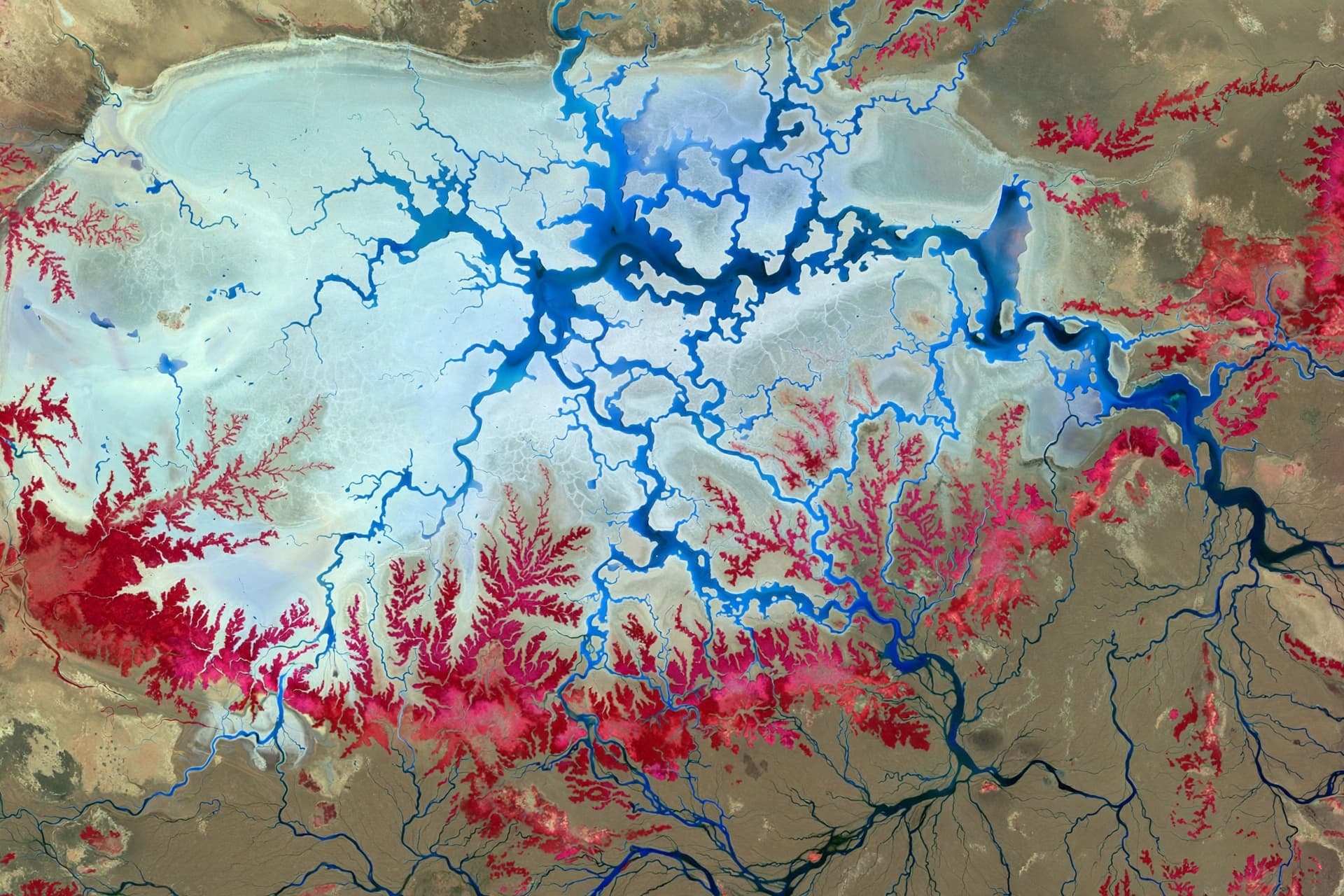
The coastline of Aotearoa New Zealand is a living boundary, constantly reshaped by the tides, winds, and shifting sands. For generations, these shores have defined communities and ecosystems, but today they face a new reality driven by climate change and rising sea levels. In response, a collaborative effort involving scientists, regional councils, and local communities has emerged to monitor these changes with unprecedented precision, offering a clearer picture of how the land meets the sea in an era of transformation.
This initiative brings together expertise from organizations such as the National Institute of Water and Atmospheric Research (NIWA) and GNS Science, alongside data from regional authorities. By combining satellite imagery, drone surveys, and traditional beach profiling, researchers are creating a comprehensive dataset that tracks erosion and accretion patterns across the country. This multi-layered approach allows for a more nuanced understanding of coastal dynamics than any single method could provide alone.
The heart of this collaboration lies in its shared purpose. Coastal change is not just a scientific abstract; it is a tangible threat to homes, infrastructure, and cultural sites. By pooling resources and knowledge, stakeholders can identify vulnerable areas more accurately and develop strategies that are both effective and locally appropriate. This sense of shared responsibility fosters trust and ensures that scientific findings are translated into actionable insights for decision-makers.
One of the key tools in this effort is the use of high-resolution satellite data, which provides a broad overview of coastal shifts over time. When combined with ground-truthing efforts—where volunteers and professionals measure beach profiles directly—the data becomes robust and reliable. This blend of technology and human observation creates a feedback loop that enhances accuracy and keeps the monitoring process grounded in real-world conditions.
Community involvement plays a crucial role in sustaining this long-term monitoring. Local groups often possess intimate knowledge of their beaches, noticing subtle changes that might escape remote sensors. By engaging citizens in data collection and interpretation, the project not only gathers more information but also builds a community of stewards who are invested in the health of their coastal environments.
The implications of this work extend beyond immediate hazard management. Understanding long-term trends helps planners anticipate future scenarios, allowing for proactive rather than reactive adaptation. Whether it is deciding where to build new defenses or identifying areas for natural restoration, the data provides a foundation for resilient coastal planning that respects both ecological integrity and human needs.
As climate projections evolve, so too does the monitoring framework. The collaborative model ensures that methods remain flexible and responsive to new challenges. It is a dynamic system that learns from each storm, each season, and each year, refining its predictions and improving its ability to protect the coastline. This adaptability is essential in a world where change is the only constant.
Ultimately, the monitoring of New Zealand’s coastal change is a testament to the power of partnership. It shows that when science, government, and community come together, they can navigate uncertainty with clarity and care. By watching the shorelines closely, we honor the land and prepare for a future where the coast remains a source of life and beauty.
AI Image Disclaimer: The visual elements in this article are AI-generated illustrations of coastal landscapes and monitoring technologies, designed to reflect the theme of environmental stewardship.
Sources: NIWA, GNS Science, Coastal Explorer, ABC News (Australia)
Published by Banx Network. This article is part of the Banx decentralized media programme, powered by the BXE token on the XRP Ledger.