
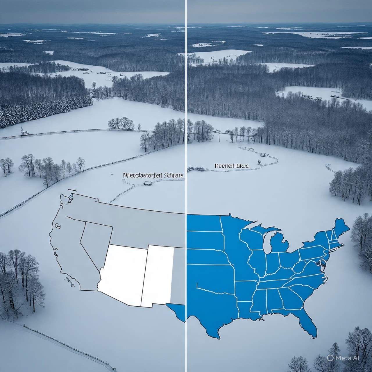
There’s a particular hush that settles over the land just before winter truly asserts itself — a quiet that feels heavy with clouds and possibility. In the days ahead, that pause will break as a major winter storm begins sweeping across the heart of the United States, stretching from the Midwest through the Northeast. What may start as a wintry whisper will grow into a more insistent rhythm of snow, ice and slippery roads, reminding millions how quickly travel and daily routines can be reshaped by the season’s arrival.
Forecasters say a significant winter system will push into the upper Midwest by Thursday, bringing snow and freezing rain to parts of Minnesota, Wisconsin and Michigan as temperatures fall and moisture increases. Freezing precipitation is expected to spread eastward through Friday, with rain mixing into sleet and ice in some areas before transitioning fully to snow as colder air moves in. Drivers and commuters should be prepared for hazardous travel conditions as the storm unfolds.
In the Northeast, another surge of wintry weather is forecast for late week into the weekend. Parts of Connecticut and surrounding states are under winter weather watches, with models showing several inches of snowfall possible from Friday into Saturday, particularly in areas like Fairfield County and farther inland. Snowfall could range from light dustings to up to 6–8 inches in spots where moisture and cold air overlap most strongly, with ice and slick spots on untreated roadways adding to travel risks.
This storm’s progression is typical of mid-winter systems, which often begin in the wide plains and Great Lakes region before tracking eastward toward the Northeast. As the cold air deepens, precipitation that starts as rain or mixed wintry precipitation will shift to all-snow — especially where temperatures drop just below freezing. When combined with gusty winds and subfreezing surfaces, even moderate snowfall can reduce visibility and make bridges and overpasses treacherous.
Local weather offices have already issued winter weather advisories and watches across parts of the Midwest and New England, warning residents to allow extra travel time, monitor forecasts, and prepare for rapidly changing conditions. Ice accumulation — even a thin glaze — can greatly increase the risk of slips, falls and vehicle skids, while heavier snow may impact holiday travel plans and outdoor activities.
As this winter storm moves from the central United States into the Northeast, its combination of snow, freezing rain and plummeting temperatures will serve as a swift introduction to the season’s more challenging weather. From city streets to rural backroads, preparedness — from snow tires to patient driving — will make all the difference. For now, meteorologists urge people across the storm’s path to stay updated with the latest forecasts and advisories as the snowfall begins to take shape.
AI Image Disclaimer “Visuals are created with AI tools and are not real photographs.”
Sources ABC News Weather.com CT Insider / Local Weather Associated Press (via regional forecasts) NOAA / National Weather Service summaries
Published by Banx Network. This article is part of the Banx decentralized media programme, powered by the BXE token on the XRP Ledger.


.jpg&w=3840&q=75 "Blake Lively Awarded $400,000 in Legal Fees After Justin Baldoni Lawsuit Dismissed")