There is a quiet tendency to measure the world by what we can see—to look toward the horizon, to trace the rise of mountains, and to believe that height belongs only to what stands above us. For generations, Mount Everest has held that symbolic place, its summit representing the uppermost reach of Earth’s surface. Yet, as science continues to look not upward but inward, a different kind of scale begins to emerge—one that reshapes our sense of what “tall” might truly mean.
Beneath the continents, far beyond the reach of weather and light, lie structures that extend not into the sky, but deep into the Earth’s interior. These formations, known as large low-shear-velocity provinces, or LLSVPs, are vast regions located near the boundary between the Earth’s mantle and its core. Though invisible to the eye, their scale is extraordinary—stretching thousands of kilometers across and rising upward in ways that, when compared in vertical extent, surpass even the height of Everest many times over.
Two of the most prominent of these structures are situated beneath Africa and the Pacific Ocean. Detected through seismic imaging—where scientists analyze how earthquake waves travel through the planet—these regions appear as immense, dense formations that alter the speed and direction of those waves. Over time, they have come to be understood not as anomalies, but as enduring features of Earth’s deep interior.
What makes these structures particularly compelling is not only their size, but their age. Some evidence suggests that they may be billions of years old, potentially dating back to the early formation of the planet itself. In this sense, they are not simply geological features, but records—preserving conditions and processes from a time when Earth was still taking shape.
To describe them as “taller” than Everest is, of course, a shift in perspective. Unlike mountains, which rise from the surface into the atmosphere, these formations extend upward from deep within, their vertical reach measured from the core-mantle boundary toward the crust. It is a reminder that scale depends on where one chooses to begin measuring—a quiet recalibration of how we define extremes.
Scientists continue to explore what these mega-structures represent. Some theories suggest they may be composed of distinct materials, possibly remnants of ancient tectonic activity or early planetary differentiation. Others propose that they play an active role in shaping mantle convection—the slow, continuous movement of material within the Earth that drives plate tectonics and volcanic activity.
There is also a sense of connection between these hidden formations and the surface world we know. The movement of the mantle influences the position of continents, the formation of mountains, and the occurrence of earthquakes and volcanoes. In this way, the unseen structures deep below may have a quiet but persistent influence on the landscapes above.
The discovery and ongoing study of these regions highlight the evolving nature of Earth science. Advances in seismic technology and computational modeling have allowed researchers to visualize what was once entirely inaccessible, turning faint signals into detailed representations of the planet’s interior. Each new insight adds to a broader understanding of how Earth functions—not just at its surface, but throughout its entire depth.
In recent years, studies published in leading scientific journals have continued to refine our understanding of these deep structures, offering new data on their composition, stability, and role in Earth’s evolution. While much remains to be explored, the existence of these formations is now widely recognized within the scientific community.
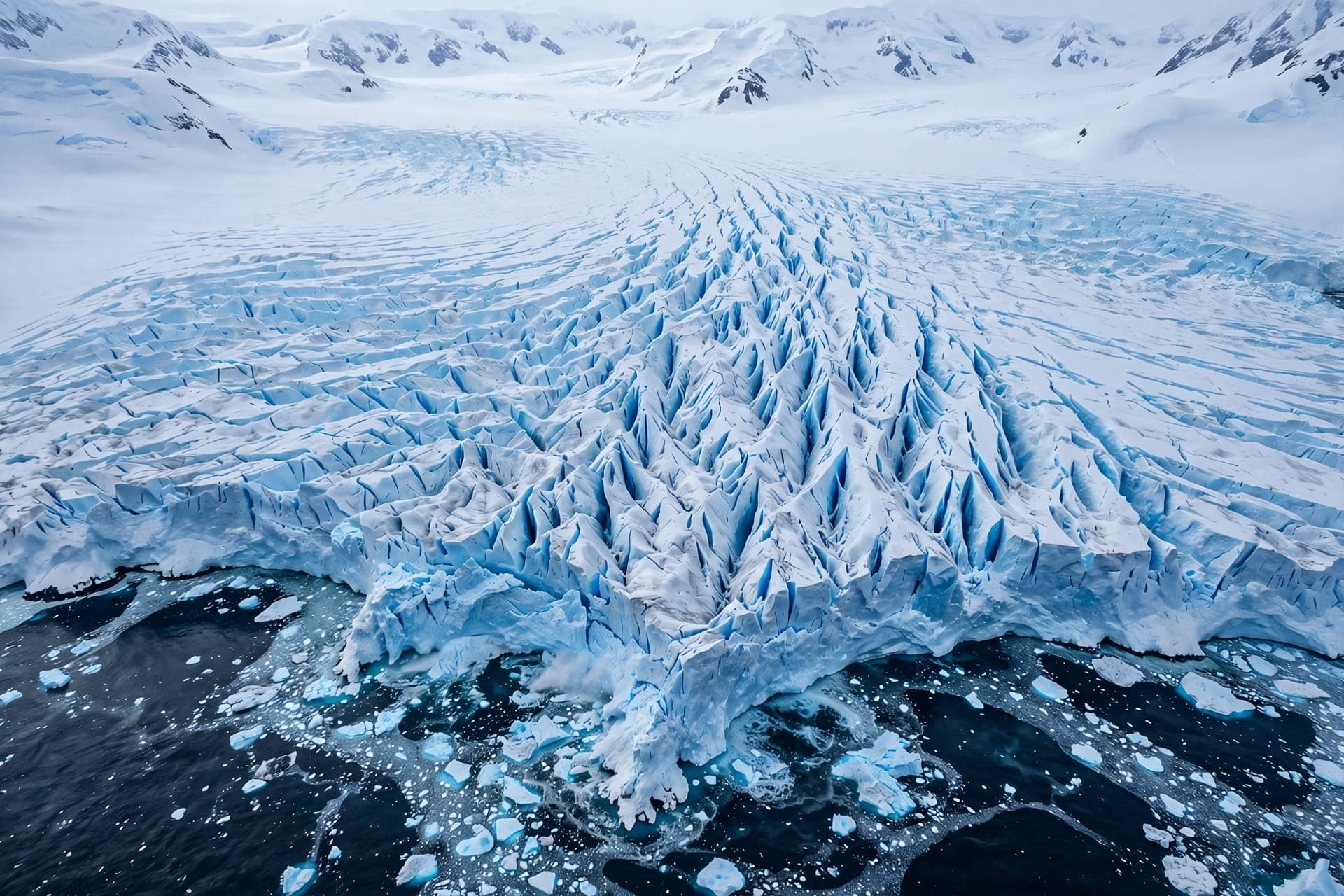
AI Image Disclaimer Visuals are created with AI tools and are not real photographs.
Source Check (Credible Media & Journals): Nature Science National Geographic BBC News Scientific American
Published by Banx Network. This article is part of the Banx decentralized media programme, powered by the BXE token on the XRP Ledger.