There is a delicate balance between motion and stillness in everyday travel. The hum of traffic on a warm morning can feel like a town breathing in rhythm. Yet beneath that cadence, there are stretches of asphalt where caution lingers more insistently, where drivers’ and riders’ instincts sharpen. In Catalonia’s road network, a recent safety assessment has cast light on those places where journeys carry greater risk—revealing not just statistics, but echoes of lives interrupted and families paused mid-conversation.
The latest risk mapping and analysis of accident data point to areas where conventional, single-carriageway state roads carry a proportionately higher incidence of serious and fatal crashes. Among the ten road sections with the highest risk indices in Catalonia, four are found within the Girona province, underscoring a geographical pattern that draws attention to the Pyrenean terrain and the arteries that link its towns and valleys. Although the detailed official list of the ten most perilous sections identifies several routes across the region, it notes that multiple segments in Girona are marked by curves, elevation changes, and variable weather conditions that coincide with elevated risk. These stretches, all conventional interurban roads with a single lane in each direction, contrast with motorways and divided highways, where the likelihood of serious accidents is statistically lower.
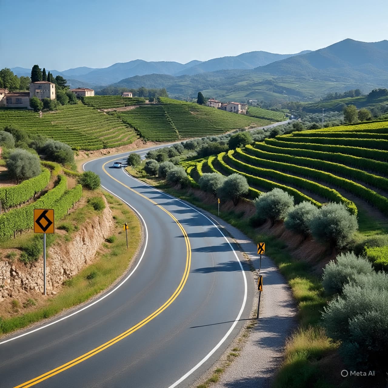
In Girona, conventional state roads such as parts of the N-260—often called the Eix Pirinenc—snake through scenic landscapes between towns like Besalú, Ripoll, and La Molina. These highways, essential for local and tourist traffic alike, show up repeatedly in risk evaluations precisely because their topography and usage patterns combine to challenge both drivers and riders. Though such routes connect communities and invite the eye to wander across vistas, the reality of navigating them demands sustained attention to speed, lane positioning, and the unpredictable moments that arise on undivided roads.
The methodologies underpinning these assessments, such as those developed by the RACC in collaboration with international safety programs, compare the number of serious and fatal accidents with the average daily traffic. This provides a risk index that helps planners and policymakers identify priority areas for safety interventions. Across Catalonia, sections with “high” and “very high” risk have seen a modest increase in recent years, even as broader mobility patterns evolve. Notably, conventional roads account for nearly all of the higher-risk stretches, while motorways tend to register lower danger profiles.
For local inhabitants and frequent travelers, such analyses resonate beyond technical reports. They serve as reminders of the fragile boundary between everyday mobility and the unforeseen. In regions like Girona, where the landscape’s beauty is matched by its winding pathways, drivers are encouraged to adopt precautionary habits—respecting speed limits, especially through narrow or curved segments, and remaining vigilant during changing weather conditions, which can further complicate visibility and surface traction.
Authorities and safety advocates use findings like these to inform infrastructure planning, enforcement, and public awareness campaigns. Measures such as enhanced signage, clearer road markings, and targeted improvements to high-risk sections aim to reduce the frequency and severity of collisions. These interventions, grounded in data and informed by local contexts, reflect an ongoing effort to harmonize the lifelines of transport with the imperative of protecting human life.
In towns and on open stretches alike, the conversation about road safety continues—between planners, drivers, and communities. As data sheds light on where risks cluster, it also reinforces a shared responsibility: to approach each journey with care, and for those who design and maintain the roads to strive toward environments that support safer passage for all.
AI IMAGE DISCLAIMER Visuals are created with AI tools and are not real photographs.
SOURCE CHECK
Credible sources reporting on dangerous road sections in Catalonia include:
ARA RACC (via iRAP / risk mapping reports) Diari Catalunya Official Catalan Traffic Service data summarized by media Regional government / mobility analyses
Published by Banx Network. This article is part of the Banx decentralized media programme, powered by the BXE token on the XRP Ledger.