In the vast silence of space, where there are no roads, no signs, and no GPS signals, navigation is a challenge of pure physics and ingenuity. For decades, spacecraft have relied on ground-based tracking or limited onboard systems to determine their position. But a new era of autonomy is dawning. NASA has successfully completed the world’s first "lost-in-space" navigation experiment, where satellites determined their location without any external assistance. This breakthrough marks a significant step toward self-sufficient space exploration, enabling missions to venture further into the cosmos with greater independence.
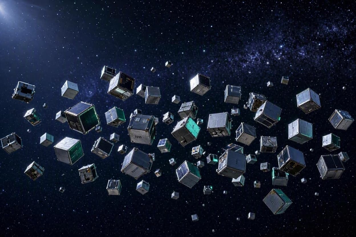
The experiment, part of NASA’s Starling mission, involved a swarm of small satellites known as CubeSats. These miniature spacecraft were tasked with maintaining their formation and determining their relative positions using only onboard cameras and algorithms. Without relying on GPS or ground control, the satellites used star trackers and optical sensors to identify each other and calculate their distances, effectively creating their own local navigation network.
This capability is crucial for future missions to the Moon, Mars, and beyond. As spacecraft travel farther from Earth, communication delays make real-time ground control impractical. Autonomous navigation allows satellites to make quick decisions, adjust their trajectories, and avoid collisions without waiting for instructions from home. It is a shift from remote control to self-reliance, mirroring the way animals navigate using internal maps and sensory inputs.
The success of the Starling experiment demonstrates the potential of distributed space systems. Instead of relying on a single large satellite, fleets of smaller, cheaper spacecraft can work together to achieve complex goals. If one unit fails, the others can continue the mission, increasing robustness and reducing risk. This approach could revolutionize how we study planetary systems, monitor space weather, and explore asteroid fields.
Technologically, the achievement relies on advanced computer vision and machine learning. The satellites’ algorithms process images in real-time, identifying stars and neighboring spacecraft with high precision. This computational power, packed into a device no larger than a shoebox, highlights the rapid miniaturization of space technology. It is a testament to the innovation driving the new space age.
For scientists, autonomous navigation opens up new possibilities for observation. Swarms of satellites can cover larger areas, capture multiple angles simultaneously, and adapt to dynamic events like solar flares or comet approaches. The flexibility of these systems allows for more detailed and comprehensive data collection than ever before.
The implications for commercial spaceflight are also significant. Companies launching constellations of satellites for internet or Earth observation can benefit from reduced operational costs and increased safety. Autonomous collision avoidance and station-keeping can prevent accidents in increasingly crowded orbits, ensuring the sustainability of space activities.
As NASA looks toward the Artemis program and eventual human missions to Mars, technologies like these will be essential. Astronauts and robotic explorers will need to navigate unfamiliar terrains without constant support from Earth. The lessons learned from the Starling mission are building blocks for that future, paving the way for a more independent presence in the solar system.
NASA’s successful "lost-in-space" navigation experiment is a milestone in space autonomy. By proving that satellites can find their way without GPS, we take a giant leap toward a future where exploration is limited only by our imagination, not by our tether to Earth.
AI Image Disclaimer: Please be aware that images used in this context are AI-generated and are intended for illustrative purposes only.
Sources: NASA Science Space.com IEEE Spectrum New Atlas
Published by Banx Network. This article is part of the Banx decentralized media programme, powered by the BXE token on the XRP Ledger.