Bridges are more than steel and concrete. They are promises stretched across distance—quiet assurances that rivers can be crossed, that communities remain connected, that daily life can move forward without interruption. When one is damaged, it is not only a structure that falters, but a rhythm.
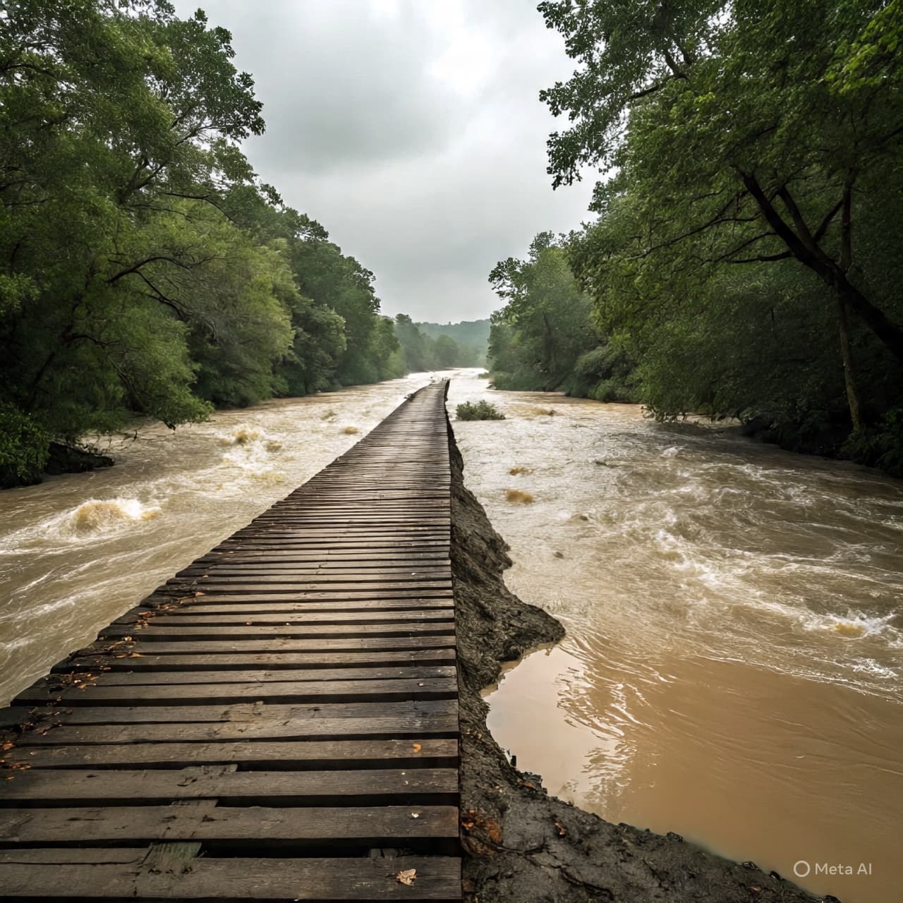
In South Wairarapa, raging floodwaters have gouged out part of the Lake Ferry Road bridge, a vital link described by locals as a lifeline. After intense rainfall swelled rivers beyond their banks, the force of the current carved into the bridge’s foundations, leaving visible damage and raising concerns about access and safety.
According to reporting from RNZ and Stuff, the bridge sustained significant scouring around its abutments, where fast-moving water eroded supporting ground. Engineers and council officials have since assessed the site, and restrictions were quickly put in place to prevent further risk.
Lake Ferry Road serves rural residents, farmers, and visitors traveling toward the coast. For many, it is not simply a convenience but the primary route in and out of the area. When floodwaters undermine such infrastructure, the consequences ripple outward—affecting school transport, farm operations, emergency access, and everyday errands.
Heavy rainfall across the lower North Island contributed to widespread surface flooding and swollen waterways. In some areas, paddocks became shallow lakes and roadside ditches turned into temporary streams. Local authorities issued advisories urging caution, while contractors monitored vulnerable crossings.
Images shared by regional media show the bridge with earth washed away from its base, the waterline still high and opaque with sediment. The phrase “lifeline” has been used not as exaggeration but as recognition of the bridge’s role in sustaining connection for isolated communities.
Council representatives have indicated that structural assessments are ongoing. Temporary closures or weight limits may remain in place until engineers determine the stability of the remaining supports. Repair timelines will depend on weather conditions and the extent of underlying damage.
In rural regions like South Wairarapa, resilience is often practiced quietly. Residents adapt to detours, adjust schedules, and wait patiently for waters to recede. Yet infrastructure losses carry financial and emotional weight. Each damaged bridge reminds communities of nature’s power and the careful balance between development and landscape.
For now, officials continue to monitor river levels and coordinate with contractors. No injuries have been reported in connection with the bridge damage. Restoration plans are expected to follow once inspections are complete.
As floodwaters gradually withdraw, attention will turn toward rebuilding and reinforcing what remains. The bridge, once taken for granted, now stands as a symbol of both vulnerability and endurance—an essential span awaiting repair, and a community prepared to cross whatever comes next.
AI Image Disclaimer Graphics are AI-generated and intended for representation, not reality.
SOURCE CHECK
Credible mainstream and niche media covering this case include:
1. RNZ (Radio New Zealand) 2. Stuff.co.nz 3. New Zealand Herald 4. 1News (TVNZ) 5. The Post (Wellington)
Published by Banx Network. This article is part of the Banx decentralized media programme, powered by the BXE token on the XRP Ledger.