From the surface of the sea, the world can appear almost familiar. Cargo ships cross distant horizons, fishing boats follow well-known routes, and satellites above the Earth track the slow movement of tides and currents. Yet beneath this visible layer lies a vast terrain that remains largely unseen — a landscape deeper and more complex than many of the continents we inhabit.
The ocean covers more than two-thirds of the planet, stretching across immense distances that challenge even modern technology. While humanity has sent spacecraft beyond the edges of the solar system and placed instruments on distant planets, the floor of Earth’s own ocean still holds a remarkable degree of mystery.
Scientists estimate that more than 99 percent of the seafloor has yet to be directly observed in detail. This does not mean the ocean floor is entirely unknown; broad maps exist thanks to satellite measurements and sonar surveys. But the close, high-resolution exploration that reveals the true character of underwater landscapes — the ridges, valleys, and ecosystems that shape the deep sea — has reached only a small fraction of that hidden world.
One reason is simply scale. The ocean is vast beyond ordinary comparison, covering roughly 361 million square kilometers of the planet’s surface. Mapping such an area in fine detail requires ships, autonomous vehicles, and instruments capable of working in some of the most remote and hostile conditions on Earth.
Another challenge lies in the extreme environment of the deep ocean itself. At depths of several thousand meters, pressure becomes immense, temperatures drop close to freezing, and sunlight disappears entirely. Equipment designed to operate in these conditions must withstand crushing forces while maintaining delicate sensors and cameras that can capture the surrounding terrain.
Navigation beneath the sea presents its own complications. Unlike aircraft or satellites that rely on GPS signals from space, underwater vehicles cannot easily access those signals. Instead, researchers must depend on acoustic navigation, sonar mapping, and carefully planned missions launched from research vessels. Each expedition can take weeks or months to complete.
Organizations such as NOAA and international scientific initiatives like Seabed 2030 are working to change that picture. Their goal is ambitious: to produce a complete map of the ocean floor by the end of this decade, combining data from research ships, autonomous underwater vehicles, and newly developing technologies.
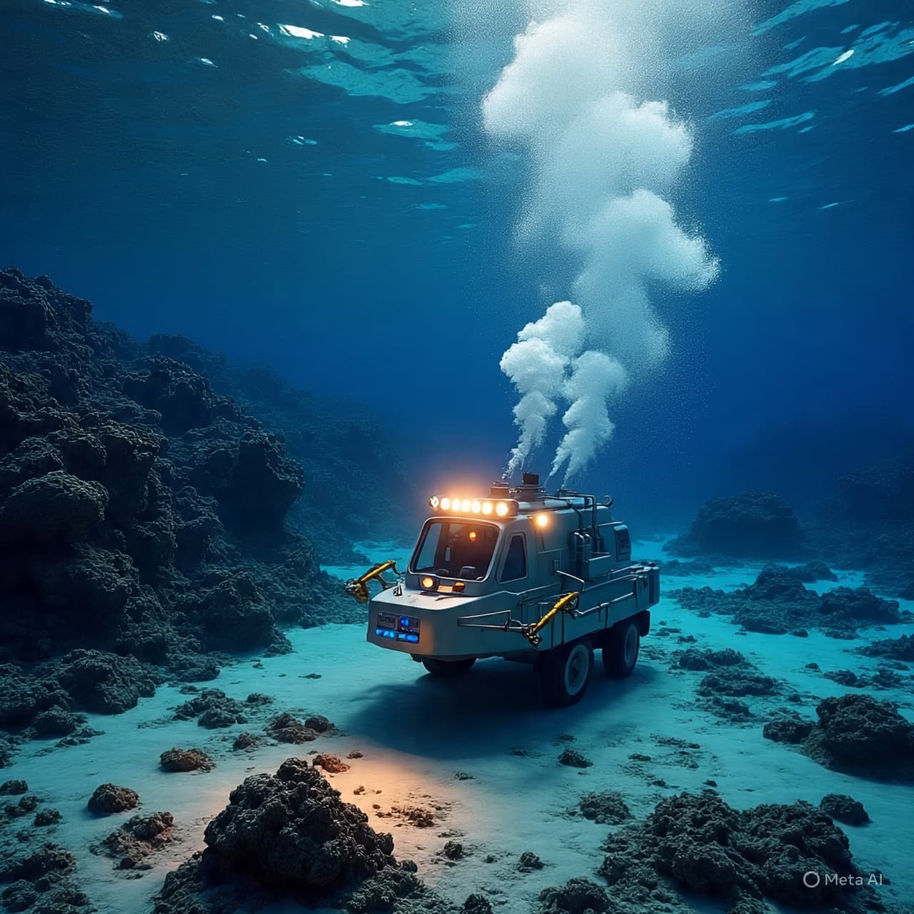
Progress has been steady, though far from simple. Each new survey reveals previously unknown mountains rising from the seabed, deep trenches carved across tectonic boundaries, and ecosystems that exist in darkness far beyond the reach of sunlight. Hydrothermal vents, coral gardens in cold water, and vast plains of sediment all form part of a landscape that scientists are still learning to understand.
Exploring the seafloor is not merely an exercise in curiosity. These underwater terrains influence ocean circulation, marine biodiversity, earthquake activity, and even global climate patterns. Accurate maps can improve navigation safety, support conservation planning, and deepen scientific knowledge of how the planet functions as a whole.
Yet the work unfolds slowly, shaped by the limitations of technology, funding, and time. Each expedition adds another small section to a map that is still largely incomplete.
For now, the ocean floor remains one of the last great frontiers on Earth. Beneath the rolling surface that travelers see from ships and coastlines, entire landscapes wait quietly in darkness — mountains, valleys, and ecosystems that few human eyes have ever observed.
As new instruments descend into those depths, the map of the ocean gradually becomes clearer. But the scale of the task remains immense, reminding us that even on a planet we believe we know well, vast regions still lie hidden beneath the water.
Published by Banx Network. This article is part of the Banx decentralized media programme, powered by the BXE token on the XRP Ledger.