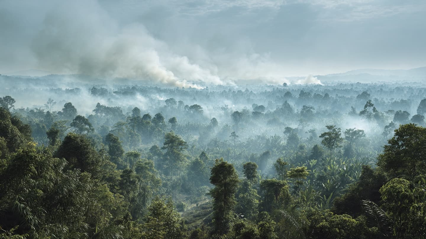
In the tropical landscape of Kalimantan, the first signs of fire can be almost imperceptible: a thin column of smoke beyond the trees, a darkening patch on the horizon, or the smell of burning vegetation carried by the wind. During dry periods, those small signals can become the beginning of a much larger problem.
Indonesia is prioritizing efforts to prevent and control wildfires in Kalimantan as the number of hotspots rises, according to the country's disaster-management authorities. Reuters reported that the government was increasing attention on the region amid worsening fire conditions.
The concern follows a significant increase in land burned across Indonesia. Nearly 95,000 hectares were damaged by wildfires in July alone, according to the environment minister, with the figure almost twice the area affected during the same month a year earlier.
Kalimantan presents particular challenges because large areas contain forests and peatlands. Peat can burn differently from ordinary vegetation, sometimes smoldering underground and making fires difficult to detect and extinguish completely.
Weather conditions can amplify those difficulties. Prolonged dry periods allow vegetation to lose moisture, while wind can carry flames and smoke across larger areas. Communities living near forests and agricultural land can therefore find themselves watching the weather as closely as they watch the horizon.
The effects extend beyond the immediate area of a fire. Smoke can reduce air quality, disrupt transportation and affect schools and workplaces. In severe seasons, haze can travel across provincial and national borders, turning a local environmental event into a regional air-quality concern.
Indonesia has developed monitoring systems that combine satellite observations, ground patrols and hotspot information. Early detection is particularly important because extinguishing a small fire is generally easier than controlling one that has spread across large areas.
Fire prevention also involves land management. In some areas, agricultural clearing and drainage can increase vulnerability to fire, particularly where peatlands become dry. Maintaining water levels and improving local fire-management capacity are therefore part of longer-term prevention strategies.
Climate conditions add another layer of uncertainty. Scientists have increasingly linked changing global weather patterns to shifts in heat and rainfall, although individual fire seasons are influenced by many local factors. Indonesia's tropical climate can move rapidly between wet and dry conditions depending on regional weather systems.
The government's focus on Kalimantan therefore reflects both geography and timing. With hotspots rising, authorities are attempting to intervene before fires become larger and more difficult to contain. The work involves firefighters, local communities, environmental agencies and monitoring teams operating across a vast landscape.
For now, the most important signals remain the quiet ones: a hotspot appearing on a satellite image, a patch of dry vegetation, or smoke rising between trees. Indonesia's response in Kalimantan is centered on detecting those signals early, as the country prepares for a fire season whose intensity will depend heavily on conditions in the weeks ahead.
SEO-friendly Slug indonesia-kalimantan-wildfires-hotspots-july-2026
Hashtags #Indonesia #Kalimantan #Wildfires #Environment #Climate #Science #Health #AirQuality
Image Disclaimer The accompanying visuals are AI-generated conceptual scenes and do not represent specific wildfire locations or real photographs of the reported events.
Sources Reuters Indonesia National Disaster Management Agency Ministry of Environment and Forestry Republic of Indonesia
Published by Banx Network. This article is part of the Banx decentralized media programme, powered by the BXE token on the XRP Ledger.