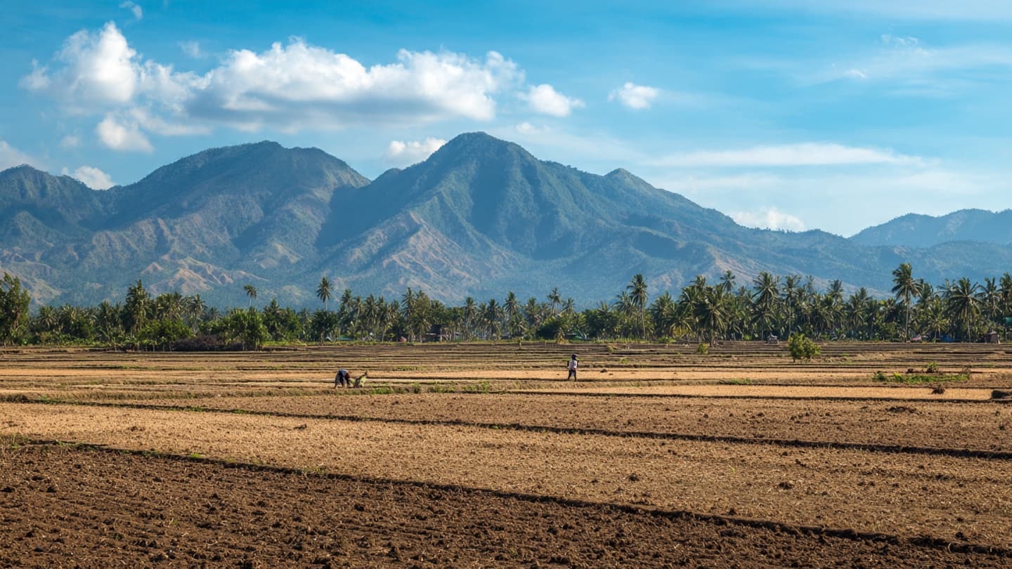
The Pacific Ocean can seem impossibly distant from an Indonesian village, yet changes in its temperature can eventually alter the weather above rice fields, forests and coastal towns. This year, forecasters are watching that distant ocean with particular attention as a developing El Niño pattern strengthens.
International forecasters have confirmed that the developing El Niño is expected to become the strongest in living memory, according to a Reuters climate report published August 21.
El Niño occurs when unusually warm ocean temperatures develop across the central and eastern tropical Pacific. That shift can influence atmospheric circulation far beyond the Pacific itself, changing rainfall and temperature patterns in many parts of the world.
For Indonesia, one of the most important effects can be a reduction in rainfall. Drier conditions can increase pressure on agriculture, water supplies and forests, particularly when prolonged dry periods coincide with high temperatures.
The possibility of a strong El Niño is especially significant because Indonesia has already been monitoring wildfire conditions. Authorities recently prioritized Kalimantan after detecting an increase in hotspots, while nearly 95,000 hectares of land were reported damaged by wildfires in July.
Agriculture is another area of concern. Rice and other crops depend on predictable water availability, and extended dryness can alter planting schedules or reduce yields. Farmers can sometimes adapt by changing planting times, using irrigation or selecting varieties better suited to dry conditions, but those measures have limits.
The effects are not identical across the archipelago. Indonesia stretches across a vast geographical area, meaning weather patterns can vary considerably between regions. Some areas may experience stronger rainfall disruptions than others, while coastal communities may face different risks from inland agricultural regions.
El Niño also illustrates the increasingly interconnected nature of climate science. Ocean temperatures, atmospheric circulation, agricultural production and wildfire conditions can appear to be separate issues, yet they are connected through the movement of heat and moisture across the planet.
Forecasting provides an important advantage because preparation can begin before the most severe conditions arrive. Authorities can strengthen fire monitoring, review water supplies and provide farmers with updated weather information. The accuracy and timing of those forecasts therefore matter as much as the eventual strength of the event.
Scientists will continue monitoring ocean temperatures and atmospheric indicators as the pattern develops. Forecasts can change as conditions evolve, meaning that a strong prediction today remains part of an ongoing assessment rather than a fixed outcome.
For Indonesia, the coming months will be watched through the practical language of water, crops, fires and temperature. The Pacific may be thousands of kilometers away, but its changing surface could influence daily life across the archipelago. Preparation now is largely about understanding those distant signals before they become local realities.
SEO-friendly Slug indonesia-strong-el-nino-weather-drought-wildfire-risk-2026
Hashtags #Indonesia #ElNino #Climate #Science #Weather #Wildfires #Agriculture #Environment
Image Disclaimer The images were generated using AI as conceptual climate illustrations and do not represent actual weather conditions or specific Indonesian locations.
Sources Reuters World Meteorological Organization NOAA
Published by Banx Network. This article is part of the Banx decentralized media programme, powered by the BXE token on the XRP Ledger.