Rain has a way of reshaping familiar places. What begins as a steady patter on rooftops and roads slowly gathers in gutters, streams, and creeks, tracing its quiet path through the landscape. In the outer reaches of Melbourne and the broader valleys beyond, that movement of water is now being watched with growing attention.
Authorities have issued flood warnings along Dandenong Creek and the Bunyip River in the Australian state of Victoria, where days of rainfall have begun to swell the region’s waterways.
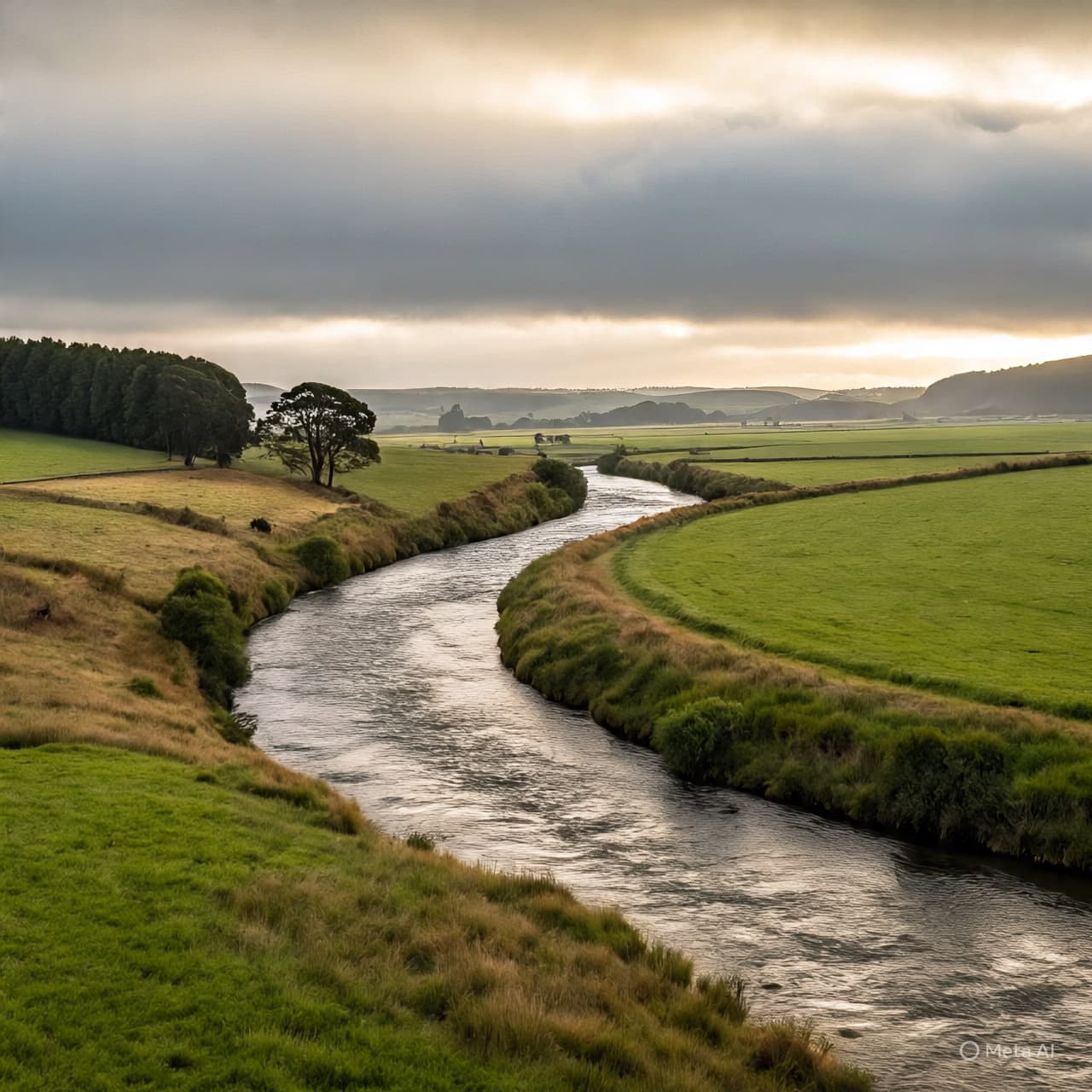
Both rivers wind through landscapes that shift from suburban neighborhoods to farmland and wetlands, carrying rainfall away from hills and plains toward larger river systems. During periods of sustained rain, however, these channels can rise quickly, testing the edges of parks, roads, and low-lying land nearby.
Weather forecasters say the latest warning follows persistent rainfall across parts of southeastern Australia. As the ground absorbs what it can, excess water inevitably finds its way into creeks and rivers that thread through the region.
For residents living near these waterways, the process is familiar yet never entirely routine. River levels are monitored closely as emergency services and meteorologists track how quickly the water is rising and how long the rain may continue.
In the case of Dandenong Creek, which flows through suburbs east and southeast of Melbourne, authorities warn that localized flooding can occur in parks, walking trails, and roads that run close to the water’s edge. The creek, usually a quiet ribbon through green corridors, can spread beyond its banks during sustained wet weather.
Further east, the Bunyip River travels through rural valleys and agricultural land before joining larger waterways. Heavy rain in the surrounding catchments can push its levels higher, occasionally affecting nearby farmland and rural infrastructure.
Flood warnings are part of a broader system designed to give communities time to prepare. Emergency agencies across Australia regularly monitor rainfall patterns, river gauges, and catchment conditions to forecast how water will move through the landscape.
For many residents, the warning is less about alarm and more about awareness. Sandbags may be placed near vulnerable areas, vehicles moved from low-lying roads, and daily routines adjusted while the rain continues.
Meanwhile, the rivers keep moving as they always have—collecting water from hills, paddocks, streets, and storm drains before carrying it onward through valleys and wetlands.
As clouds drift slowly across the Victorian sky, the watch continues along these waterways. The rain will eventually pass, but until it does, the creeks and rivers remain under careful observation, their rising levels a reminder of how closely the rhythms of land and weather remain intertwined.
Published by Banx Network. This article is part of the Banx decentralized media programme, powered by the BXE token on the XRP Ledger.