There is a quiet majesty to places we cannot see, landscapes that lie beneath pages of ice like ancient stories buried in a book long closed. In the vast and frozen expanse of Antarctica, scientists have peeled back the curtain on one such secret. Like explorers following a faint scent through a maze of silence, they have revealed the contours of the land hidden under miles of ice—shapes that hint at a world forgotten by time and obscured from sight.
For centuries, the Antarctic ice sheet stood as an unyielding, pale fortress, its surface the only terrain humans could touch. It was as if the continent kept its deepest truths beneath a serene white quilt, only whispering them through subtle shifts in reflection and flow. Now, with a detailed map assembled from decades of satellite and surface data, that quilt has yielded more of its hidden form, showing a subglacial topography of valleys, hills, channels, and lowlands.
This new portrait of the sub-ice world was crafted by blending high-resolution satellite observations with measurements of ice thickness and ice flow behavior. The resulting map provides an unprecedented view of features ranging from buried alpine valleys to long fluvial channels once carved by rivers before the ice claimed the land. Some of these landforms may date back to a time when rivers, not ice sheets, shaped Antarctica’s surface.
Scientists describe how subtle variations in the height of the ice surface allow them to infer what lies below—a kind of natural topographic shadow play where the ice’s gentle rises and falls reflect the shapes etched into the bedrock beneath. Some features, like deep and narrow valleys, were poorly known until now, and their presence offers clues about how the continent’s icy shell has evolved over millions of years.
Beyond unveiling ancient landforms, the map also plays a practical role: understanding the bedrock beneath Antarctica is key to forecasting how the ice sheet may move and change with a warming climate. Ice flows, creeps, and slips differently depending on what lies beneath. Mountains and ridges slow it; troughs and basins can guide it. These insights may help refine models that predict future sea level change.
Previous efforts like the Bedmap3 initiative have progressively filled in the hidden contours of Antarctica, drawing upon data gathered over many decades from aircraft, ships, satellites, and ground surveys. These maps are more than mere illustrations; they are the chronicles of a landscape that has shaped and been shaped by Earth’s climatic history.
As researchers continue to refine the map and push for even more precise data, this new view of the silent world beneath the ice invites us to imagine what Antarctica might have been like before the ice came deep valleys carved by rivers, mountains standing tall, perhaps lush landscapes that now exist only in the subtlest of echoes.
In that sense, the frozen continent holds within it a palimpsest of Earth’s ancient past, a story written in rock and rediscovered through the gentle probing of scientific inquiry
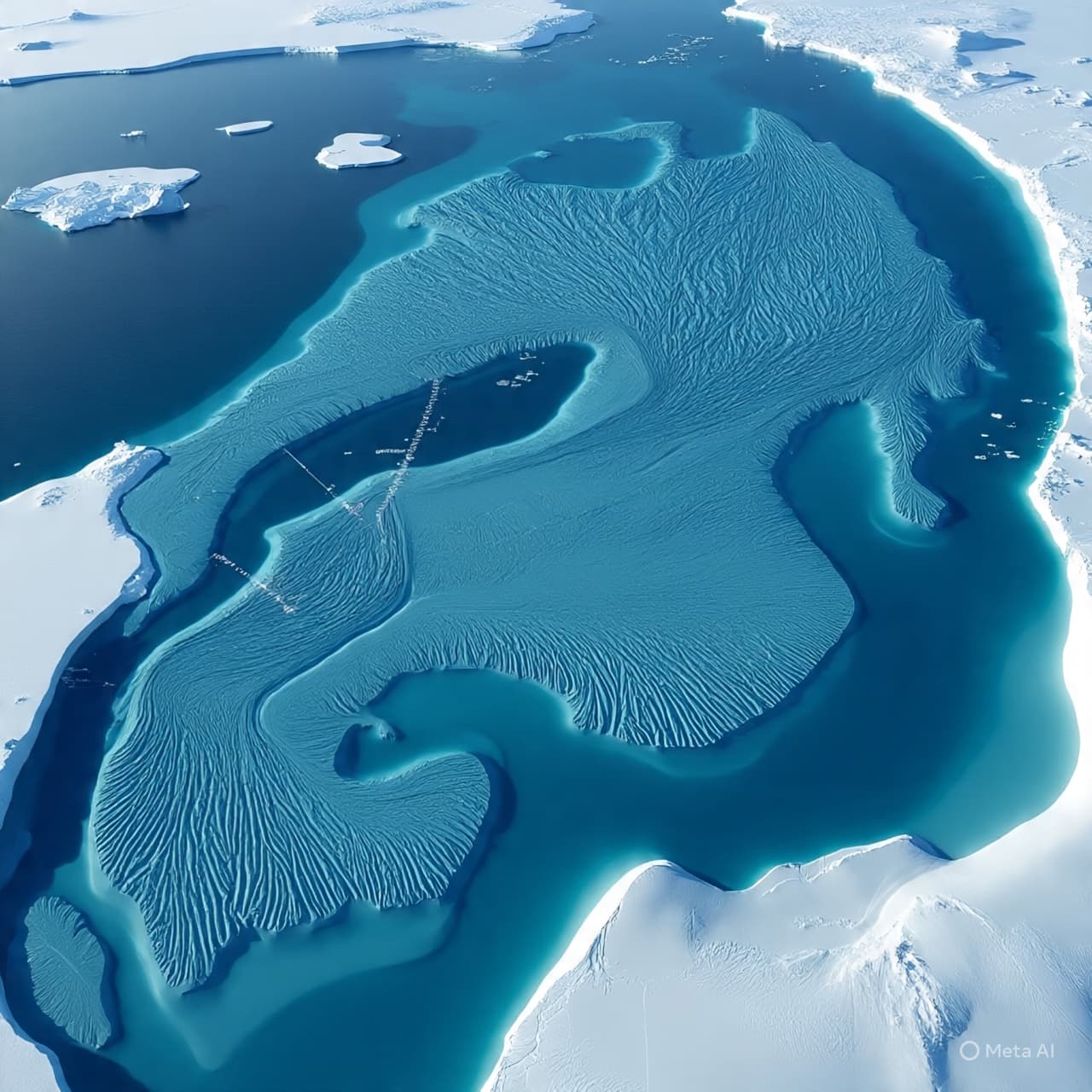
AI Image Disclaimer (Rotated Wording)
Illustrations were produced with AI and serve as conceptual depictions.
Sources
Space.com; LiveScience; EurekAlert!; Scientific Data / Nature; BBC overview of BedMachine Antarctica.
Published by Banx Network. This article is part of the Banx decentralized media programme, powered by the BXE token on the XRP Ledger.