There are landscapes that appear complete at first glance—self-contained, resolved, unmoving. Mars often presents itself this way: a wide, rust-colored stillness beneath a pale sky, its surface marked by time yet offering few immediate answers. But beneath that quiet exterior lies a deeper archive, one that does not reveal itself to sight alone, but instead to echoes—signals sent downward, returning with traces of what once was.
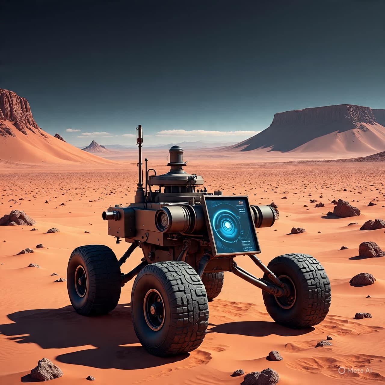
Across the floor of Jezero Crater, the rover Mars 2020 Perseverance Rover has been moving with measured patience, its path guided not only by cameras and drills, but by an instrument attuned to what lies below. Through the use of ground-penetrating radar, known as RIMFAX, the rover has begun to map the subsurface in layers—reading the terrain not as a surface, but as a record.
In these returning signals, scientists have identified patterns that suggest a history shaped by water. Sedimentary structures, buried beneath dust and rock, appear arranged in ways that echo river deposits and delta formations—features long suspected from orbital imagery, now traced in finer detail below the ground itself. The radar pulses, traveling through the Martian soil, reflect differently depending on the density and composition of what they encounter, allowing researchers to distinguish between layers laid down over time.
This work draws upon principles familiar to planetary science and geophysics, where subsurface imaging has long been used to understand hidden structures. Yet on Mars, the implications carry a particular weight. Each layer suggests not only a sequence of geological events, but environmental conditions that may once have supported liquid water—perhaps intermittently, perhaps over extended periods.
Jezero Crater itself has long been considered a site of interest precisely because of its ancient delta, a fan-shaped formation believed to have been created where a river once entered a standing body of water. The radar data now adds depth—literally and figuratively—to that understanding. Beneath the visible delta, additional stratified deposits hint at repeated episodes of sediment transport, deposition, and change. Water, it seems, was not a singular event here, but part of a longer, evolving system.
What the radar reveals is not a single narrative, but a layered one. Some strata suggest calm accumulation, while others point to more dynamic flows—perhaps seasonal variations, perhaps shifts driven by climate changes long past. The subsurface becomes a kind of memory, preserving sequences that the surface alone cannot fully convey.
There is a quiet persistence in this method of exploration. Unlike the dramatic imagery often associated with space missions, radar work unfolds in abstraction—graphs, reflections, subtle contrasts. Yet within those abstractions lies a form of clarity, a way of seeing without sight, of reconstructing environments that no longer exist.
The findings contribute to a broader effort to understand Mars not simply as it is, but as it has been. Water, in its many forms, remains central to that inquiry—not only as a geological force, but as a condition tied to the possibility of past habitability. Each newly identified layer refines the picture, narrowing uncertainties while opening new questions.
NASA’s Perseverance rover has detected subsurface structures in Jezero Crater using its RIMFAX ground-penetrating radar, revealing layered deposits consistent with ancient water-driven processes. Scientists report that these findings support evidence of a sustained and complex hydrological history on Mars. Further analysis is ongoing as researchers continue to interpret the radar data and its implications for the planet’s past environment.
AI Image Disclaimer
Visuals are AI-generated and serve as conceptual representations.
Sources
NASA Nature Science Jet Propulsion Laboratory Scientific American
Published by Banx Network. This article is part of the Banx decentralized media programme, powered by the BXE token on the XRP Ledger.