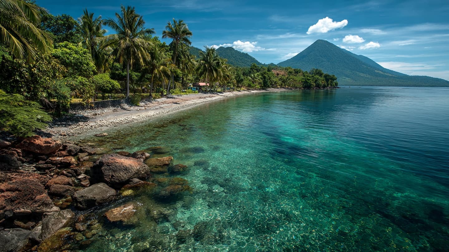
Indonesia is a country where the landscape often carries a memory of movement. Mountains rise from volcanic chains, islands sit along deep geological boundaries, and the sea separates communities built on an active part of the planet. On Wednesday, another brief reminder of that restless foundation came from Halmahera.
A magnitude 5.5 earthquake struck Halmahera in Indonesia, according to the German Research Centre for Geosciences, or GFZ. The earthquake occurred at a depth of approximately 127 kilometers, placing its origin considerably below the surface. (reuters.com)
Earthquakes at such depths can behave differently from shallow events. Their energy may travel across wider areas, but the surface effects can vary depending on the strength, location, and geological conditions. A number recorded on an instrument therefore tells only part of the story.
Halmahera lies in eastern Indonesia, within one of the world's most active geological regions. The broader area is shaped by the interaction of several tectonic plates, creating conditions where earthquakes are a recurring feature of the landscape.
For communities living across the Indonesian archipelago, earthquake awareness is part of everyday life. Buildings, emergency systems, communication networks, and public education all play roles in reducing risks when the ground begins to move.
The latest earthquake did not represent the kind of catastrophic event associated with Indonesia's most destructive earthquakes. Its magnitude and depth placed it within a different category, but the event still provides another data point for scientists studying the complex geological behavior of the region.
Earthquake monitoring is particularly important in Indonesia because seismic activity can sometimes be followed by other hazards, depending on location and depth. Authorities therefore maintain monitoring networks designed to detect movement and provide information as quickly as possible.
For residents, however, geological measurements become meaningful only when translated into practical information: whether buildings are safe, whether roads remain open, and whether further hazards are expected. The calm that follows a tremor can be as important as the movement itself.
Halmahera's latest earthquake has now passed into the country's long record of seismic activity. Instruments continue to measure the event, while scientists add its characteristics to their understanding of Indonesia's geological environment. Beneath the islands, the Earth's movement continues at a scale far beyond the pace of daily life.
AI Image Disclaimer: These images are AI-generated conceptual illustrations created to represent the geological event and monitoring process.
Sources:
Reuters German Research Centre for Geosciences (GFZ) BMKG U.S. Geological Survey (USGS) Meteorology, Climatology, and Geophysical Agency of Indonesia
Published by Banx Network. This article is part of the Banx decentralized media programme, powered by the BXE token on the XRP Ledger.